Download
Preview
Add to list
More
14.5 km
~3 hrs 29 min
353 m
Loop
“Explore the scenic 15 km Oberer Berggrabenweg and Roter Strich Loop, a medium-difficulty hike rich in nature and history.”
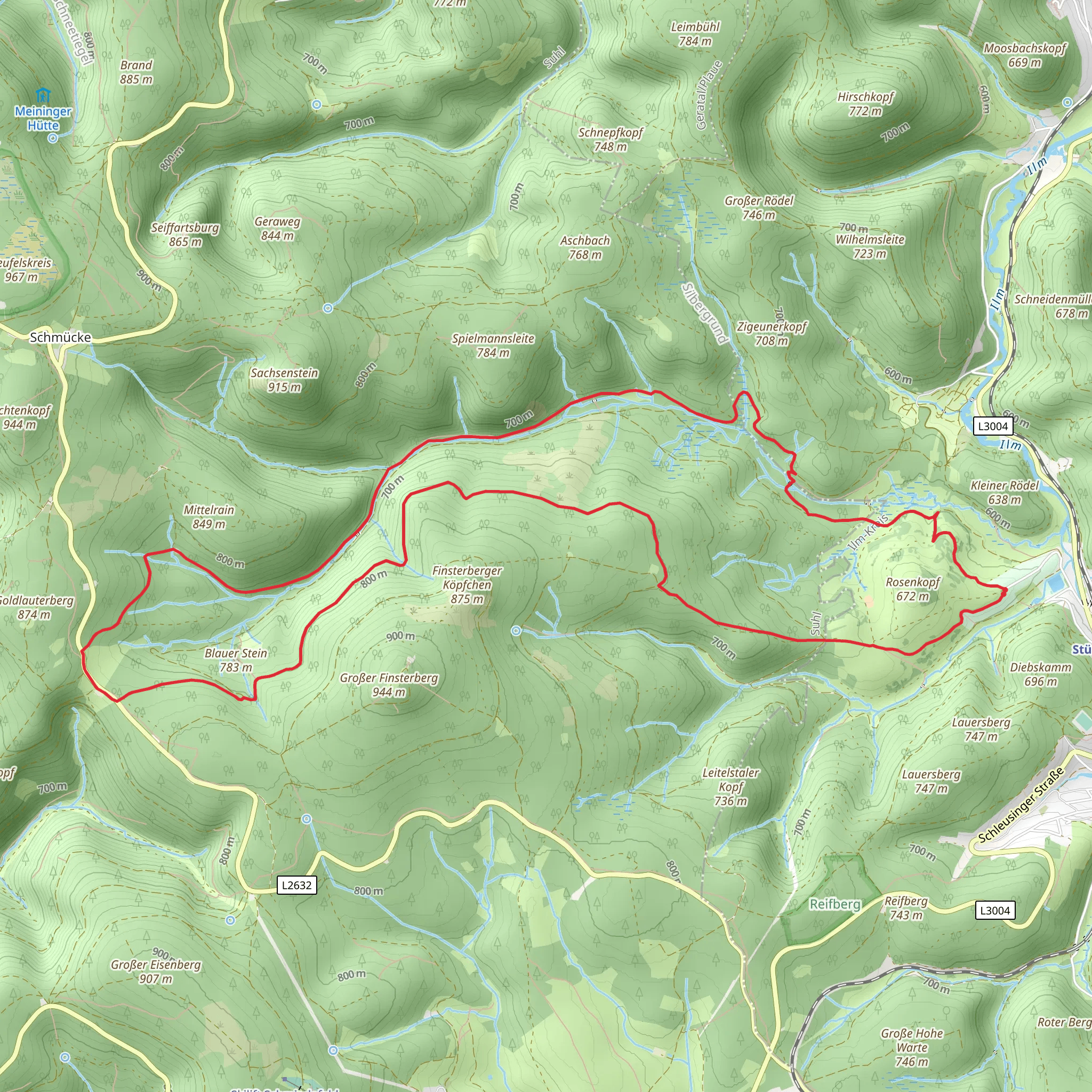
Starting near Ilm-Kreis, Germany, the Oberer Berggrabenweg and Roter Strich Loop is a captivating 15 km (approximately 9.3 miles) trail with an elevation gain of around 300 meters (about 984 feet). This loop trail is rated as medium difficulty, making it suitable for hikers with some experience.
Getting There To reach the trailhead, you can drive or use public transport. If driving, set your GPS to Ilm-Kreis, Germany, and look for parking options near the trailhead. For those using public transport, the nearest significant landmark is the town of Ilmenau. From Ilmenau, you can take a local bus or taxi to the trailhead.
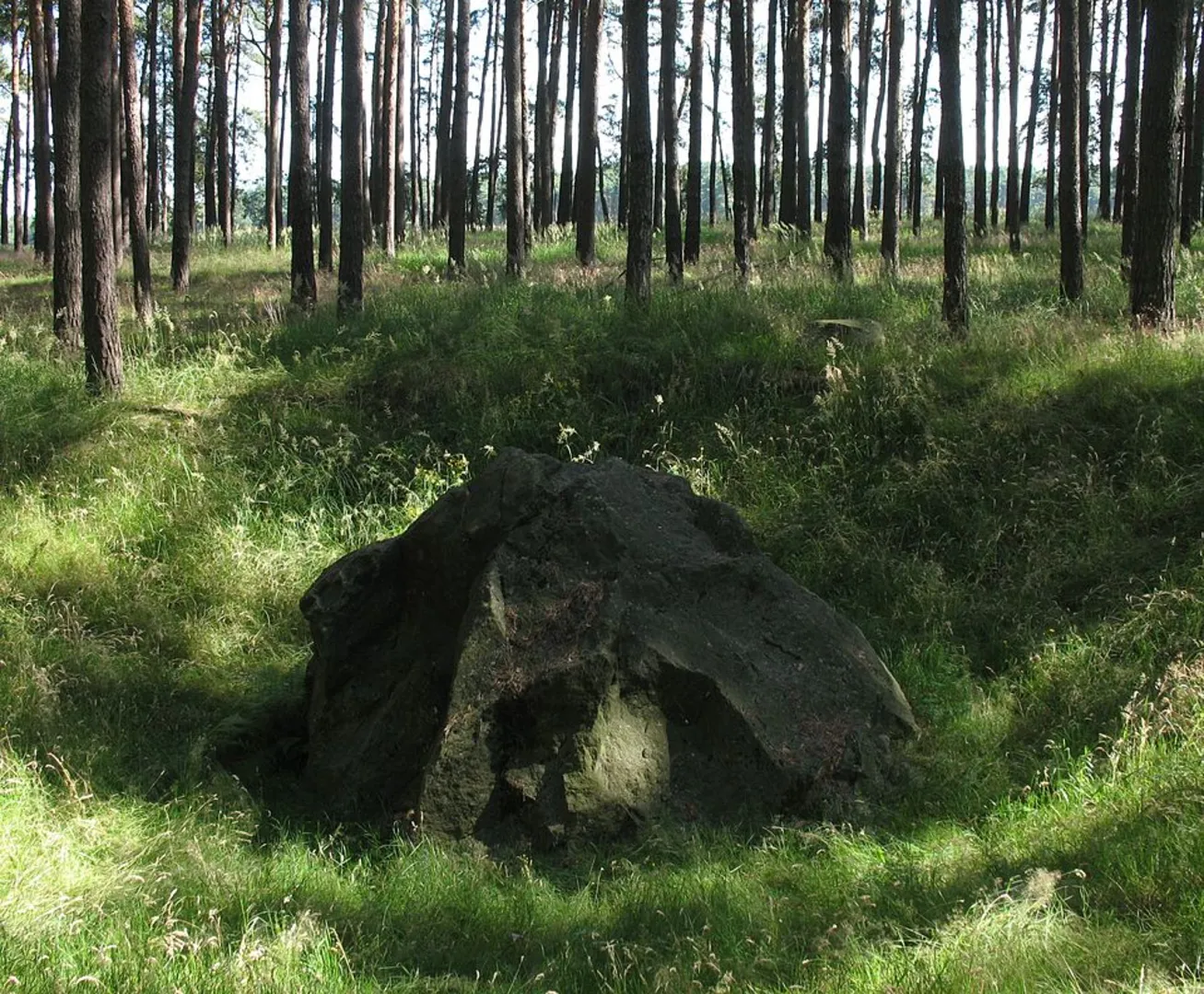
Trail Overview The trail begins with a gentle ascent, allowing you to ease into the hike. As you progress, you'll encounter a mix of forested areas and open meadows, offering a variety of landscapes. The initial 5 km (3.1 miles) of the trail will take you through dense woodland, where you can enjoy the shade and the sounds of local wildlife.
Significant Landmarks Around the 6 km (3.7 miles) mark, you'll come across the historic Berggrabenweg, an old mining path that dates back to the 16th century. This section of the trail offers a glimpse into the region's mining history, with remnants of old mining equipment and informational plaques detailing the area's past.
Nature and Wildlife As you continue, the trail opens up into a series of meadows. These areas are particularly beautiful in the spring and summer months when wildflowers are in full bloom. Keep an eye out for local wildlife, including deer, foxes, and a variety of bird species. The meadows also offer stunning panoramic views of the surrounding Thuringian Forest.
Elevation and Terrain The trail's elevation gain is gradual, making it manageable for most hikers. The steepest section occurs around the 10 km (6.2 miles) point, where you'll ascend approximately 150 meters (492 feet) over a 2 km (1.2 miles) stretch. This part of the trail can be challenging, so take your time and enjoy the views.
Navigation To ensure you stay on track, it's advisable to use a reliable navigation tool like HiiKER. The trail is well-marked, but having a digital map can provide additional peace of mind.
Final Stretch The last 3 km (1.9 miles) of the trail are a gentle descent back to the trailhead. This section takes you through a mix of forest and open areas, providing a relaxing end to your hike. As you approach the trailhead, you'll pass by a small stream, a perfect spot to rest and reflect on your journey.
This loop trail offers a balanced mix of natural beauty, historical significance, and moderate physical challenge, making it a rewarding experience for those who undertake it.
What to expect?
Activity types
Comments and Reviews
User comments, reviews and discussions about the Oberer Berggrabenweg and Roter Strich Loop, Germany.
5.0
average rating out of 5
1 rating(s)

