Download
Preview
Add to list
More
89.1 km
~5 days
2434 m
Multi-Day
“Embark on Germany's scenic Winterberger Hochtour, a journey through history and nature's vibrant palette.”
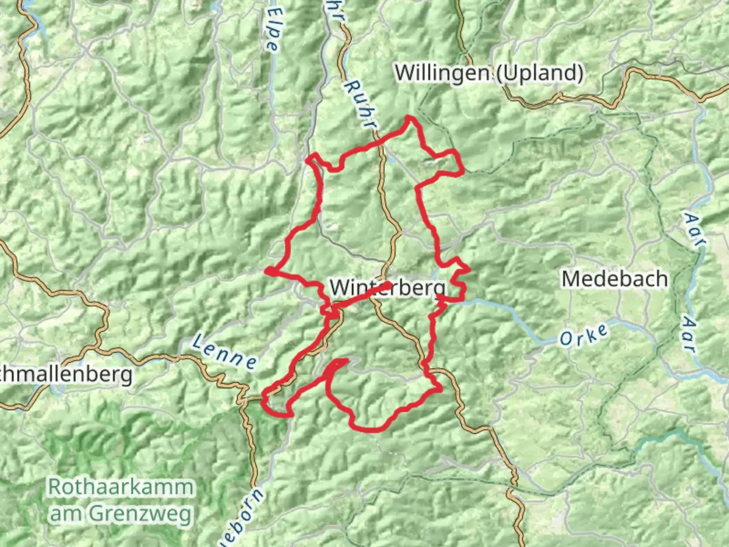
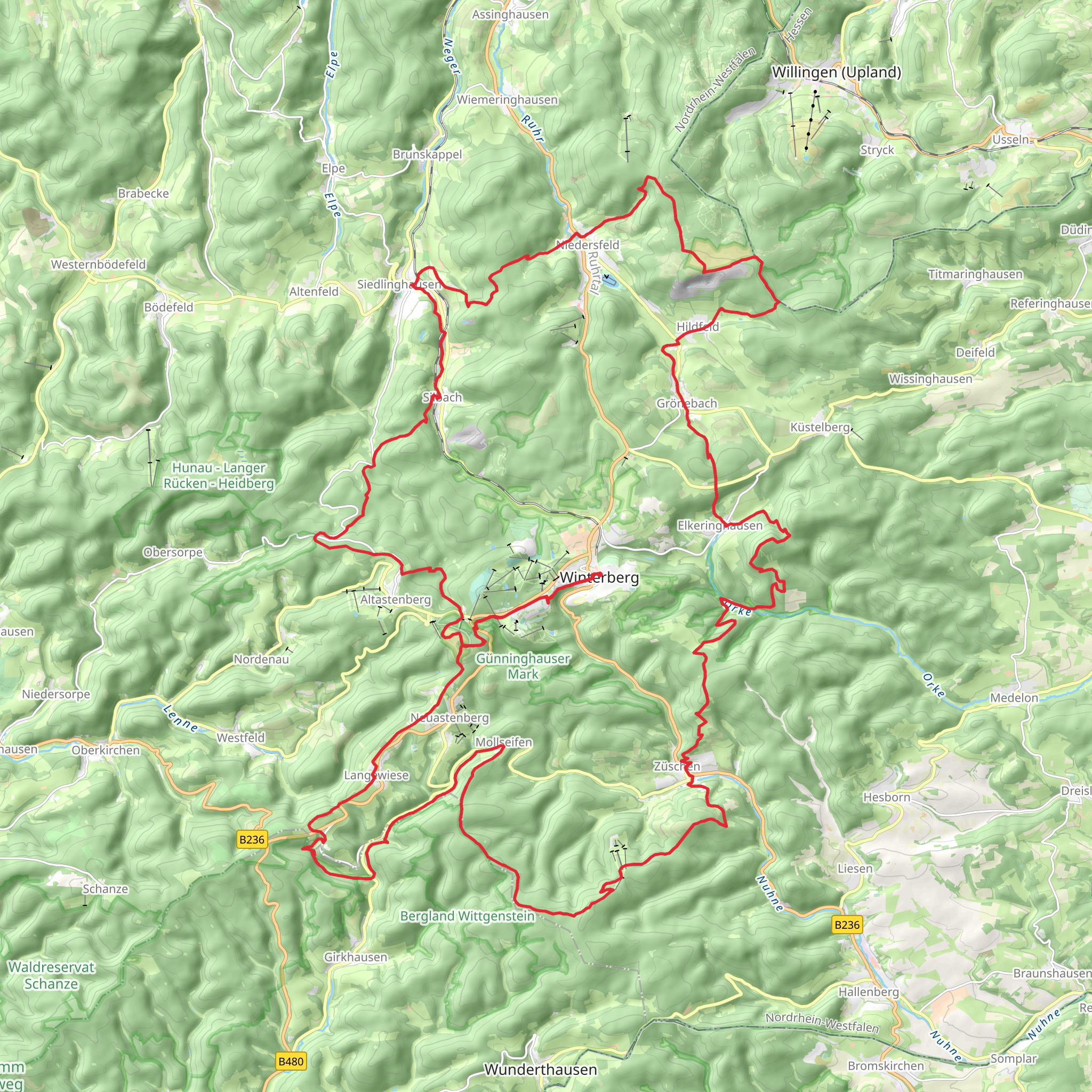
Embarking on the Winterberger Hochtour, hikers will traverse approximately 89 kilometers (about 55 miles) of varied terrain with an elevation gain of around 2400 meters (roughly 7874 feet). This loop trail, nestled in the heart of Hochsauerlandkreis, Germany, offers a medium difficulty rating, making it accessible to hikers with a moderate level of experience.Getting to the TrailheadThe journey begins near the town of Winterberg, a well-known destination for outdoor enthusiasts. For those arriving by public transport, the nearest train station is Winterberg (Westf). From there, local buses can take you closer to the trailhead. If driving, parking is available in the area, and the starting point can be easily located using HiiKER for precise navigation.Navigating the TrailAs you set out on the Winterberger Hochtour, you'll be greeted by a landscape that shifts from lush forests to open meadows, with the trail marked by clear signage throughout. The loop can be tackled in either direction, but many choose to begin with the steeper sections to get the most challenging parts out of the way while legs are fresh.Landmarks and NatureThe trail offers a rich tapestry of natural and historical landmarks. One of the early highlights is the Kahler Asten, one of the highest peaks in the region, offering panoramic views that are especially breathtaking in the early morning light. Approximately a third of the way through the hike, you'll encounter the picturesque Sorpetal valley, where the serene Sorpe stream accompanies you.Wildlife and FloraThe Hochsauerlandkreis region is home to diverse wildlife, including deer, foxes, and a variety of bird species. The forests are a mix of beech, spruce, and pine, with the changing seasons bringing a kaleidoscope of colors. Wildflowers pepper the meadows in spring and summer, while autumn brings a fiery display of foliage.Historical SignificanceThe area is steeped in history, with several points along the trail offering a glimpse into the past. The region played a significant role during World War II, and hikers will find memorials and remnants of historical significance. The trail also winds past traditional half-timbered houses, some of which date back centuries, showcasing the architectural heritage of the region.Preparation and PlanningTo fully enjoy the Winterberger Hochtour, hikers should be well-prepared with appropriate gear for variable weather conditions. The trail can be completed in several days, and there are huts and guesthouses along the route for overnight stays. It's advisable to carry a detailed map, which can be supplemented by the HiiKER app for up-to-date trail information and navigation.Access and AmenitiesThroughout the hike, there are opportunities to restock on supplies in the small towns and villages you'll pass through. These areas also offer a chance to sample local cuisine and engage with the community, providing a cultural complement to the natural beauty of the trail.Remember to respect the environment by following Leave No Trace principles, ensuring that this trail remains pristine for future adventurers. With its combination of natural splendor, historical intrigue, and well-marked paths, the Winterberger Hochtour is a rewarding experience for any hiker looking to explore the heart of Germany's Hochsauerlandkreis.
Comments and Reviews
User comments, reviews and discussions about the Winterberger Hochtour, Germany.
4.25
average rating out of 5
4 rating(s)
