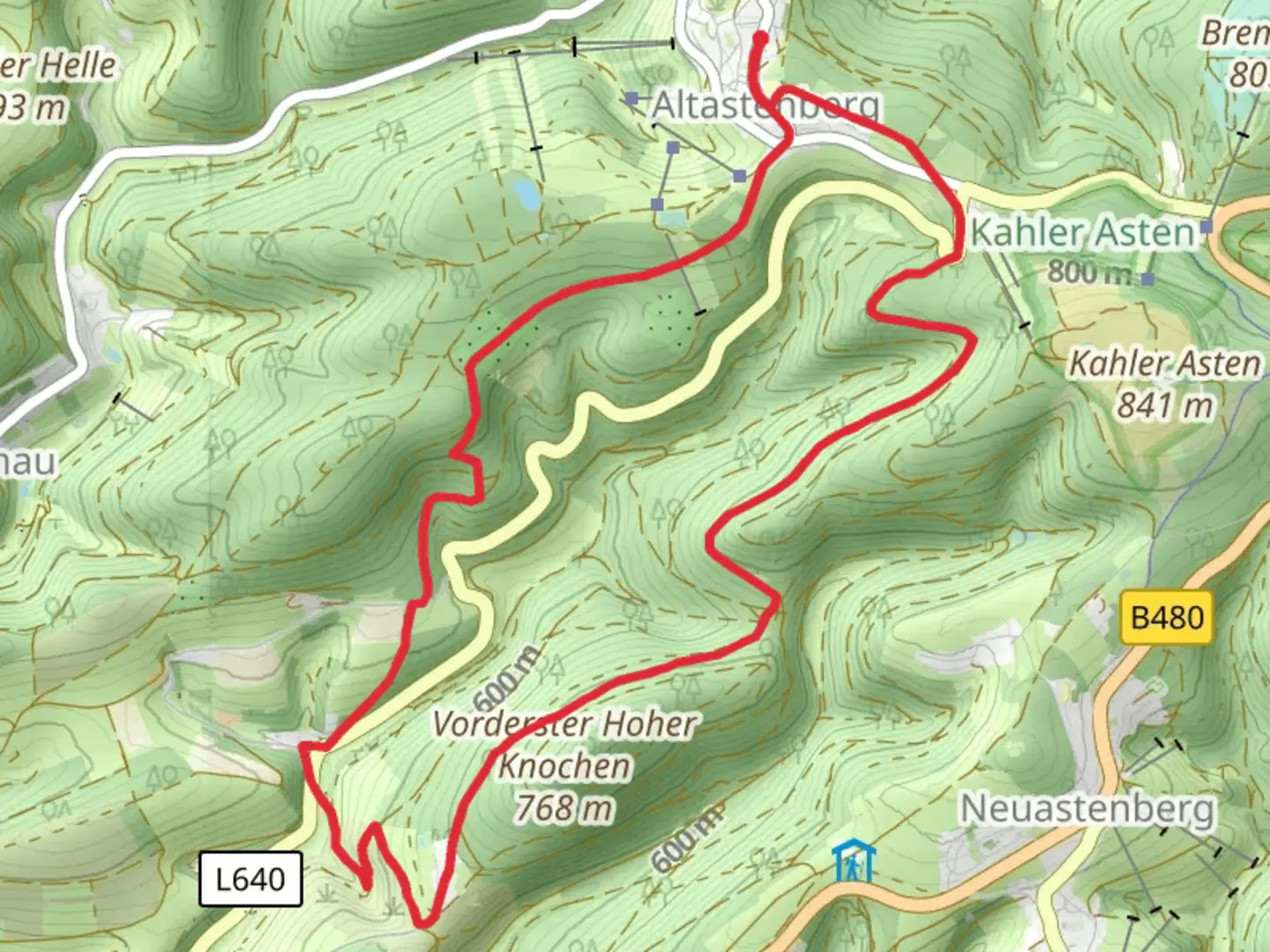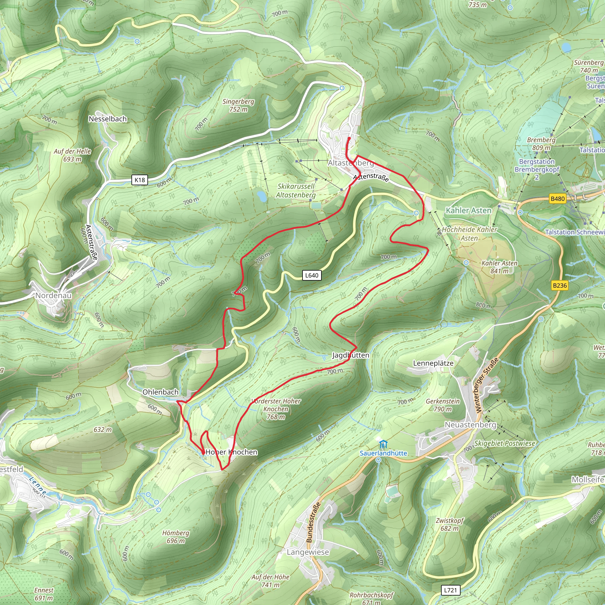
Schwedensteig Heidenstrasse and Golddorf Route Westfeld
Download
Preview
Add to list
More
11.3 km
~2 hrs 50 min
345 m
Loop
“The Schwedensteig Heidenstrasse and Golddorf Route Westfeld offers 11 kilometers of scenic and historical hiking.”
Starting near Hochsauerlandkreis, Germany, the Schwedensteig Heidenstrasse and Golddorf Route Westfeld is a picturesque loop trail that spans approximately 11 kilometers (6.8 miles) with an elevation gain of around 300 meters (984 feet). This medium-difficulty trail offers a blend of natural beauty, historical significance, and charming village scenery, making it a rewarding experience for hikers.
Getting There To reach the trailhead, you can drive or use public transport. If driving, set your GPS to Westfeld, a village in the Hochsauerlandkreis region. There is ample parking available near the start of the trail. For those using public transport, take a train to Winterberg, then a bus to Westfeld. The nearest significant landmark to the trailhead is the St. Blasius Church in Westfeld.
Trail Overview The trail begins in the quaint village of Westfeld, known for its well-preserved half-timbered houses and serene atmosphere. As you start your hike, you'll immediately notice the lush greenery and the well-marked paths that guide you through the initial stages.
Historical Significance One of the highlights of this trail is its historical significance. The name "Schwedensteig" refers to the Swedish troops that passed through this area during the Thirty Years' War. As you hike, you'll come across several information boards detailing the historical events that took place here, providing a fascinating glimpse into the past.
Key Landmarks and Nature About 3 kilometers (1.86 miles) into the hike, you'll reach the first significant landmark, the Schwedenkreuz (Swedish Cross), a memorial commemorating the Swedish soldiers. This is a great spot to take a break and soak in the historical ambiance.
Continuing on, the trail takes you through dense forests and open meadows, offering a variety of flora and fauna. Keep an eye out for deer, foxes, and a variety of bird species that inhabit this region. The trail is particularly beautiful in spring and autumn when the foliage is vibrant.
Elevation and Terrain The trail features a mix of gentle slopes and steeper inclines, with the most significant elevation gain occurring around the 5-kilometer (3.1 miles) mark. Here, you'll ascend approximately 150 meters (492 feet) over a relatively short distance, so be prepared for a bit of a workout. The path is well-maintained but can be muddy after rain, so appropriate footwear is recommended.
Navigation For navigation, it's advisable to use the HiiKER app, which provides detailed maps and real-time updates. The trail is well-marked with signs, but having a reliable navigation tool can enhance your hiking experience and ensure you stay on track.
Final Stretch As you approach the final stretch of the trail, you'll descend back into the village of Westfeld. The last few kilometers offer a gentle downhill walk, allowing you to relax and enjoy the scenic views of the surrounding countryside. The trail loops back to the starting point near St. Blasius Church, where you can reflect on your hike and perhaps explore the village further.
This trail offers a perfect blend of natural beauty, historical intrigue, and moderate physical challenge, making it an excellent choice for hikers looking to explore the Hochsauerlandkreis region.
What to expect?
Activity types
Comments and Reviews
User comments, reviews and discussions about the Schwedensteig Heidenstrasse and Golddorf Route Westfeld, Germany.
5.0
average rating out of 5
1 rating(s)
