Download
Preview
Add to list
More
7.9 km
~1 hrs 45 min
107 m
Loop
“Discover the Medebach M3 Loop: an 8 km scenic hike through history, nature, and moderate challenges.”
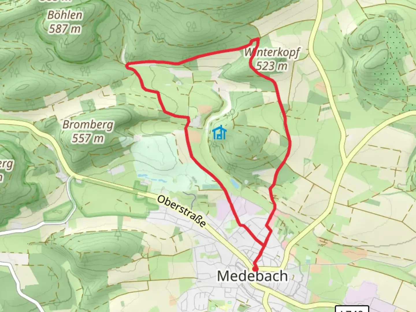
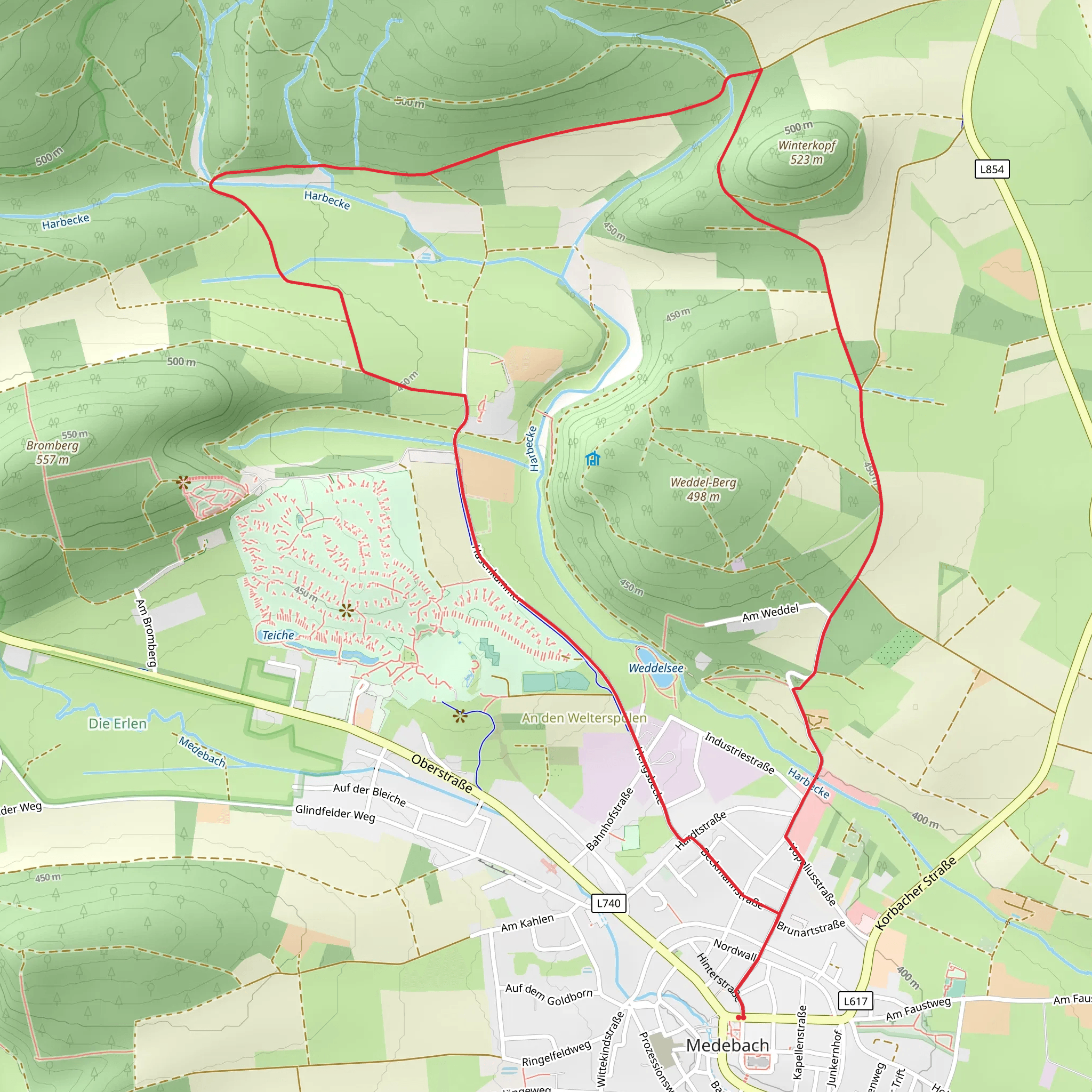
Starting near Hochsauerlandkreis, Germany, the Medebach M3 Loop is an 8 km (approximately 5 miles) trail with an elevation gain of around 100 meters (328 feet). This loop trail is rated as medium difficulty, making it suitable for moderately experienced hikers.### Getting There To reach the trailhead, you can either drive or use public transport. If driving, set your GPS to Medebach, Hochsauerlandkreis, and look for parking near the town center. For public transport, take a train to Winterberg station, then a bus to Medebach. The trailhead is conveniently located near the town, making it easily accessible.### Trail Overview The Medebach M3 Loop offers a diverse hiking experience through the scenic landscapes of the Hochsauerland region. The trail begins with a gentle ascent, providing a warm-up for the more challenging sections ahead. As you start, you'll pass through lush meadows and dense forests, typical of the Sauerland region.### Significant Landmarks and Nature At approximately 2 km (1.2 miles) into the hike, you'll encounter the first significant landmark: the Medebach Basin. This area is known for its unique geological formations and rich biodiversity. Keep an eye out for various bird species and small mammals that inhabit this region.Continuing along the trail, you'll reach the highest point at around 4 km (2.5 miles), where you can enjoy panoramic views of the surrounding valleys and hills. This is an excellent spot for a short break and some photography.### Historical Significance The Hochsauerlandkreis region has a rich history dating back to medieval times. As you hike, you'll come across remnants of old farmsteads and possibly even ancient boundary stones that marked territories centuries ago. These historical markers offer a glimpse into the area's past and add an educational element to your hike.### Wildlife and Flora The trail is home to a variety of wildlife, including deer, foxes, and numerous bird species. The flora is equally diverse, with oak, beech, and spruce trees dominating the landscape. During spring and summer, the meadows are adorned with wildflowers, adding vibrant colors to your hike.### Navigation For navigation, it's recommended to use the HiiKER app, which provides detailed maps and real-time updates. The trail is well-marked, but having a reliable navigation tool ensures you stay on track and can explore any interesting detours safely.### Final Stretch As you descend back towards Medebach, the trail winds through picturesque villages and open fields. The final 2 km (1.2 miles) are relatively flat, allowing for a leisurely end to your hike. This section is perfect for reflecting on the natural beauty and historical richness you've experienced.The Medebach M3 Loop offers a well-rounded hiking experience with its mix of natural beauty, historical landmarks, and moderate challenges. Whether you're a local or visiting the Hochsauerlandkreis region, this trail provides an excellent opportunity to connect with nature and history.
Comments and Reviews
User comments, reviews and discussions about the Medebach M3 Loop, Germany.
4.43
average rating out of 5
7 rating(s)
