Download
Preview
Add to list
More
6.5 km
~1 hrs 35 min
171 m
Loop
“Embark on a scenic 7km loop through lush forests, historic sites, and serene villages in Sauerland.”
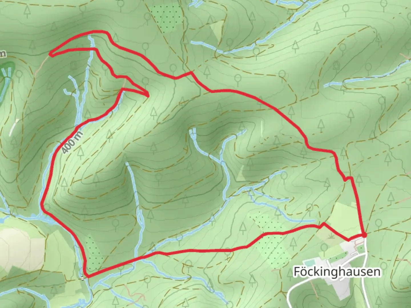
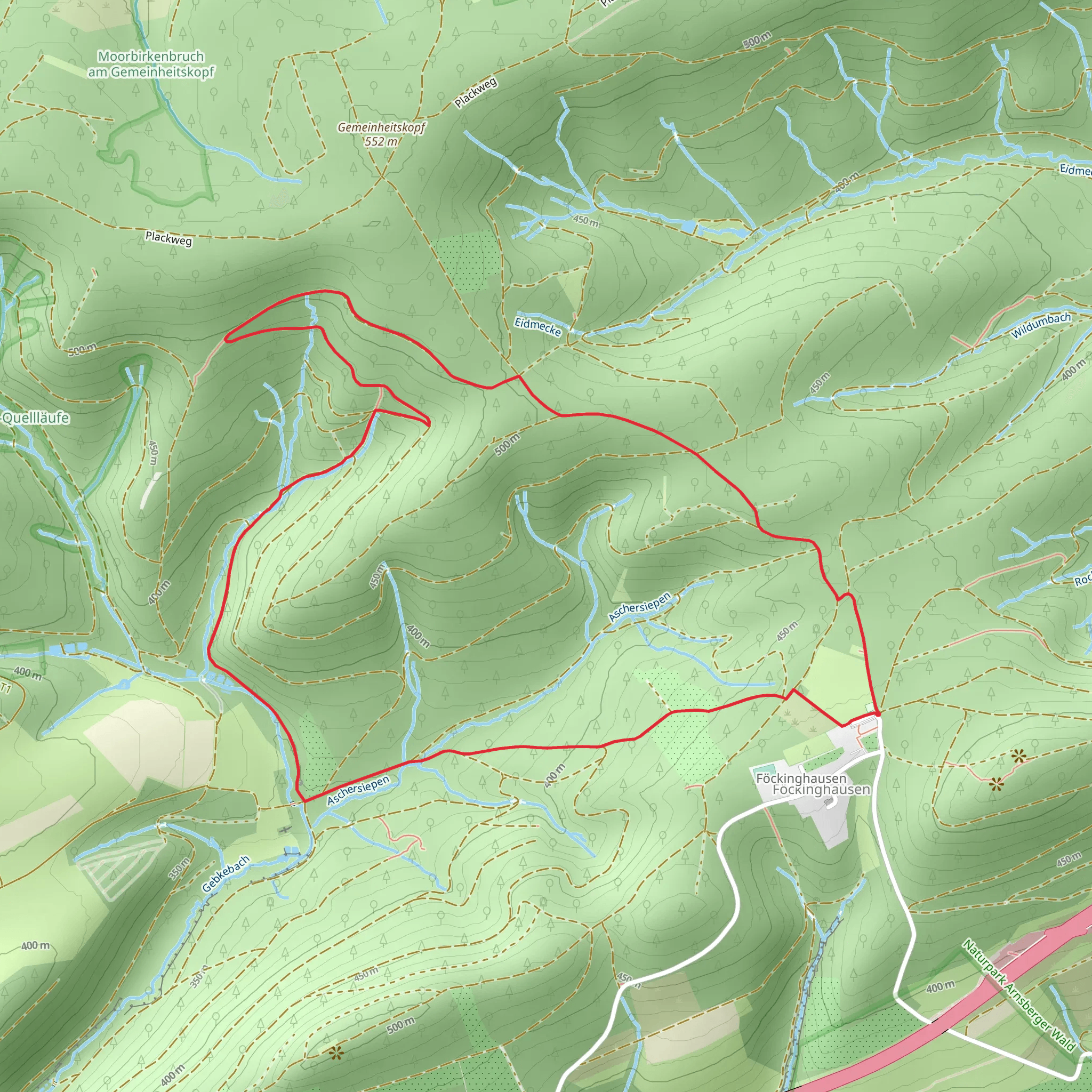
Starting near Hochsauerlandkreis, Germany, the Bestwig Rundweg and Foeckinghausen Rundweg is a scenic loop trail that spans approximately 7 kilometers (4.35 miles) with an elevation gain of around 100 meters (328 feet). This medium-difficulty trail offers a delightful mix of natural beauty, historical landmarks, and opportunities for wildlife spotting.### Getting There To reach the trailhead, you can either drive or use public transport. If driving, set your GPS to Hochsauerlandkreis, Germany, and look for parking near the town center. For those using public transport, take a train to Bestwig station. From there, it's a short walk to the trailhead.### Trail Overview The trail begins near the town center of Bestwig, a charming area known for its picturesque landscapes and historical significance. As you start your hike, you'll be greeted by lush forests and rolling hills, typical of the Sauerland region.### Key Landmarks and Sections#### Bestwig Town Center At the beginning of your hike, take a moment to explore Bestwig's town center. The area is rich in history, with several old buildings and churches that date back to the medieval period. The St. Andreas Church is particularly noteworthy, offering a glimpse into the region's architectural heritage.#### Forested Pathways As you leave the town center, the trail leads you into dense forests. These sections are relatively flat, making for an easy start. Keep an eye out for local wildlife such as deer, foxes, and various bird species. The forest is also home to a variety of flora, including oak, beech, and pine trees.#### Foeckinghausen Around the halfway mark, you'll reach Foeckinghausen, a small village that offers a peaceful respite. Here, you can find a few benches and picnic spots, perfect for a short break. The village itself is quaint, with traditional German houses and a serene atmosphere.#### Elevation Gain After leaving Foeckinghausen, the trail begins to ascend gradually. This section offers some of the best views of the surrounding countryside. The elevation gain is moderate, making it accessible for most hikers. As you climb, you'll be rewarded with panoramic views of the Sauerland hills and valleys.### Navigation and Safety For navigation, it's highly recommended to use the HiiKER app, which provides detailed maps and real-time updates. The trail is well-marked, but having a reliable navigation tool ensures you stay on track.### Historical Significance The region around Bestwig has a rich history, dating back to Roman times. The area was historically significant for its mining activities, particularly during the 19th and early 20th centuries. As you hike, you'll come across several old mining sites and relics, offering a glimpse into the area's industrial past.### Wildlife and Flora The Sauerland region is known for its biodiversity. Along the trail, you may encounter various species of birds, including woodpeckers and owls. The forest floor is often carpeted with wildflowers, especially in the spring and summer months. Keep your camera handy to capture the natural beauty.### Final Stretch As you near the end of the loop, the trail descends back towards Bestwig. This section is relatively easy, allowing you to enjoy the final moments of your hike without much effort. The trail concludes back at the town center, where you can relax and perhaps explore more of what Bestwig has to offer.This trail offers a perfect blend of natural beauty, historical landmarks, and moderate physical challenge, making it an ideal choice for a day hike in the Sauerland region.
Comments and Reviews
User comments, reviews and discussions about the Bestwig Rundweg and Foeckinghausen Rundweg, Germany.
4.67
average rating out of 5
3 rating(s)
