Download
Preview
Add to list
More
2.9 km
~1 hrs 6 min
312 m
Point-to-Point
“The Wanderroute I im Gleichberggebiet Walk offers scenic beauty, historical landmarks, and a rewarding workout.”
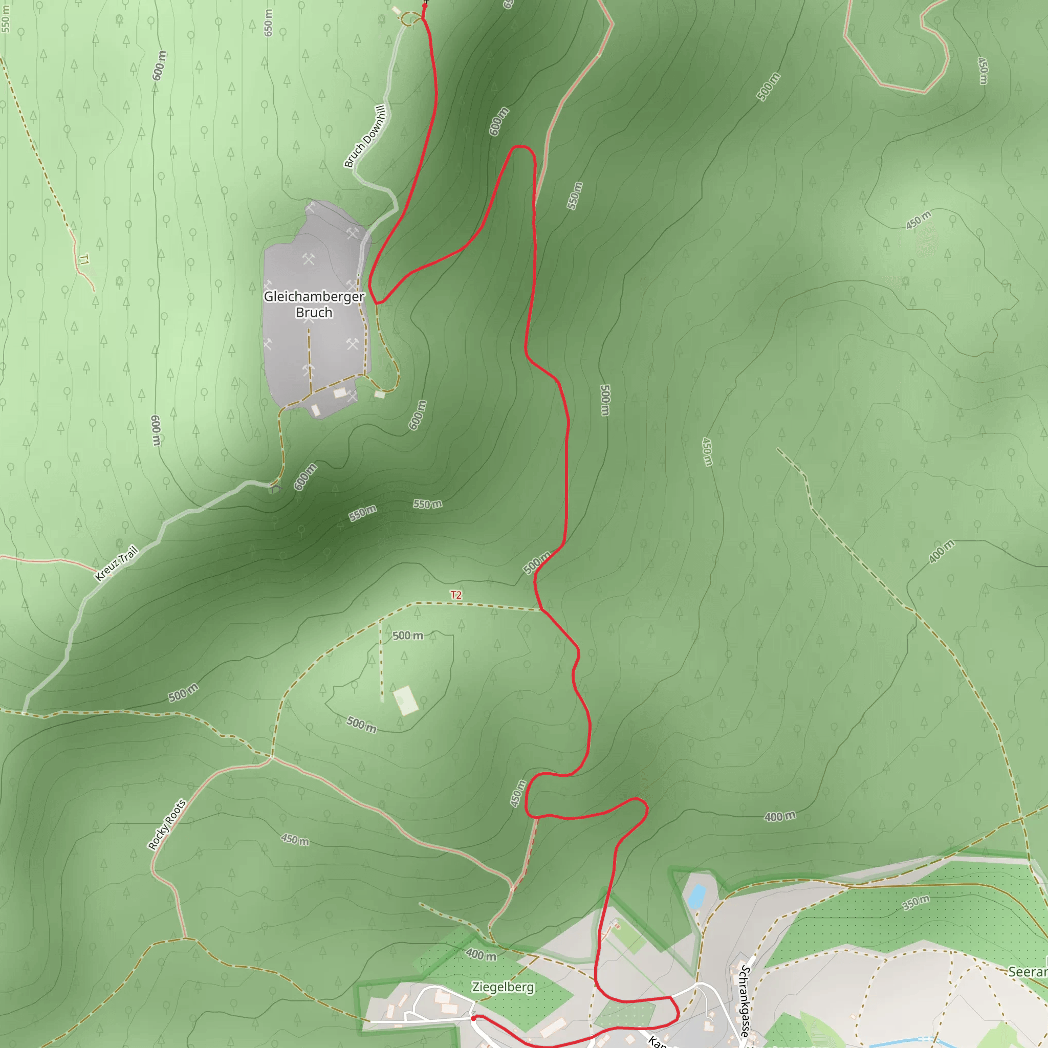
Starting near the charming town of Hildburghausen in Germany, the Wanderroute I im Gleichberggebiet Walk is a delightful 3 km (1.86 miles) point-to-point trail that offers a moderate challenge with an elevation gain of approximately 300 meters (984 feet). This trail is perfect for those looking to immerse themselves in the natural beauty and historical richness of the Gleichberg region.
Getting There To reach the trailhead, you can either drive or use public transport. If you're driving, set your GPS to Hildburghausen, and from there, follow the signs to the Gleichberg area. For those using public transport, take a train to Hildburghausen station. From the station, local buses or taxis can take you to the trailhead, which is conveniently located near the town.
Trail Overview The trail begins with a gentle ascent through lush forests, where you'll be greeted by the sounds of birds and the rustling of leaves. As you make your way up, the path becomes steeper, offering a good workout for your legs. The trail is well-marked, but it's always a good idea to have a navigation tool like HiiKER to ensure you stay on track.
Significant Landmarks and Nature About 1 km (0.62 miles) into the hike, you'll come across the first significant landmark: the ruins of an old watchtower. This tower dates back to medieval times and served as a lookout point for the region. It's a great spot to take a break and soak in some history.
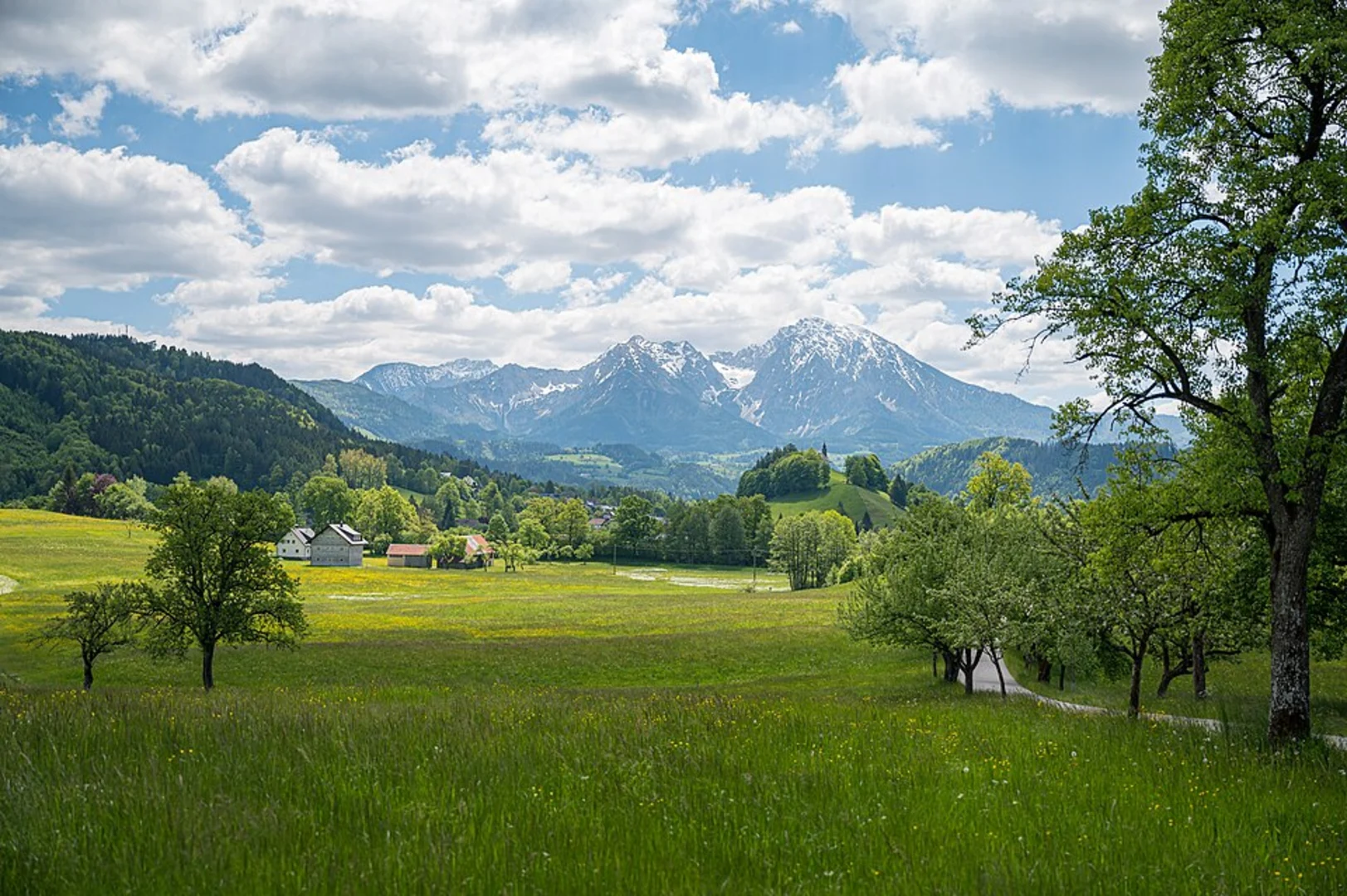
Continuing on, the trail winds through a dense forest of beech and oak trees. Keep an eye out for local wildlife, including deer and various bird species. The forest floor is often carpeted with wildflowers in the spring and summer, adding a splash of color to your hike.
Historical Significance The Gleichberg region is steeped in history. The area was once a strategic military site, and remnants of ancient fortifications can still be seen along the trail. These fortifications date back to the early medieval period and offer a fascinating glimpse into the past.
Reaching the Summit As you approach the 2.5 km (1.55 miles) mark, the trail becomes steeper and rockier. This final push to the summit is the most challenging part of the hike, but the effort is well worth it. Upon reaching the top, you'll be rewarded with panoramic views of the surrounding countryside. On a clear day, you can see for miles, taking in the rolling hills and picturesque villages that dot the landscape.
Descending and Finishing the Hike The descent is relatively straightforward, following a well-trodden path back down to the trail's endpoint. Make sure to watch your footing, especially if the ground is wet or slippery. The trail concludes near a small parking area, where you can either catch a ride back to Hildburghausen or continue exploring the region.
Tips for Hikers - Wear sturdy hiking boots, as the trail can be rocky and uneven in places. - Bring plenty of water and snacks, especially if you plan to take your time and enjoy the scenery. - Check the weather forecast before you go, as conditions can change rapidly in the hills. - Use HiiKER for navigation to ensure you stay on the correct path.
This trail offers a perfect blend of natural beauty, physical challenge, and historical intrigue, making it a must-visit for any hiking enthusiast.
What to expect?
Activity types
Comments and Reviews
User comments, reviews and discussions about the Wanderroute I im Gleichberggebiet Walk, Germany.
4.25
average rating out of 5
4 rating(s)

