Download
Preview
Add to list
More
10.4 km
~2 hrs 45 min
406 m
Loop
“Discover the scenic beauty and historical intrigue of the moderately challenging Wanderroute 2 in Germany's Gleichberge Hills.”
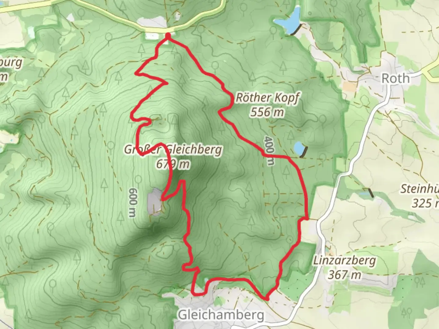
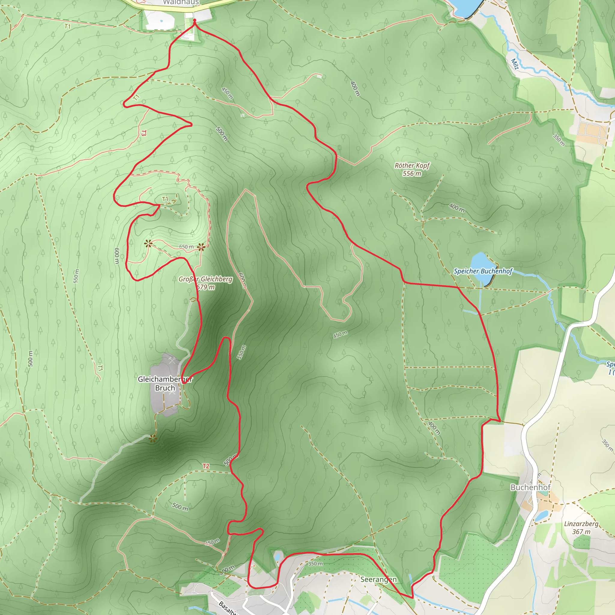
Starting near the town of Hildburghausen in Germany, this 10 km (approximately 6.2 miles) loop trail offers a moderate challenge with an elevation gain of around 400 meters (about 1,312 feet). The trailhead is conveniently accessible by car or public transport. If you're driving, you can park near the Gleichberge area. For those using public transport, take a train or bus to Hildburghausen and then a local bus or taxi to the trailhead.### Trail Navigation and TerrainThe Wanderroute 2 im Gleichbergebiet is well-marked, but it's always a good idea to have a reliable navigation tool like HiiKER to ensure you stay on track. The trail features a mix of forest paths, open meadows, and some rocky sections. Good hiking boots are recommended due to the varied terrain.### Key Landmarks and Points of Interest#### Gleichberge HillsOne of the most significant features of this trail is the Gleichberge Hills, which are ancient volcanic formations. The hills offer panoramic views of the surrounding Thuringian Forest and the Franconian countryside. The highest point, the Großer Gleichberg, stands at 679 meters (2,228 feet) and provides a fantastic vantage point for photography and bird-watching.#### Historical SignificanceThe Gleichberge area is rich in history. During your hike, you'll come across remnants of ancient Celtic settlements. These archaeological sites date back to the Iron Age and offer a glimpse into the region's early human activity. Informational plaques along the trail provide context and historical background, making this hike both a physical and educational experience.### Flora and FaunaThe trail meanders through dense forests of beech and oak, interspersed with open meadows that burst into color during the spring and summer months. Keep an eye out for local wildlife, including deer, foxes, and a variety of bird species. The area is also known for its diverse plant life, including rare orchids and medicinal herbs.### Elevation ProfileThe trail starts with a gentle ascent through the forest, gaining about 200 meters (656 feet) in the first 3 km (1.9 miles). The middle section is the most challenging, with a steeper climb to the summit of Großer Gleichberg. After reaching the peak, the trail descends gradually, offering a more relaxed hike back to the starting point.### Practical Information- Water and Food: There are no facilities along the trail, so bring enough water and snacks for the entire hike. - Weather: The weather can change rapidly, especially at higher elevations. Check the forecast before you go and dress in layers. - Safety: Mobile reception can be spotty in some areas, so inform someone of your plans before you set out.This trail offers a perfect blend of natural beauty, historical intrigue, and moderate physical challenge, making it a rewarding experience for hikers of all levels.
Comments and Reviews
User comments, reviews and discussions about the Wanderroute 2 im Gleichbergebiet, Germany.
4.67
average rating out of 5
3 rating(s)
