Download
Preview
Add to list
More
9.7 km
~2 hrs 4 min
82 m
Point-to-Point
“Discover the serene beauty and history of Doeberitzer Heide's diverse landscapes on this accessible hike.”
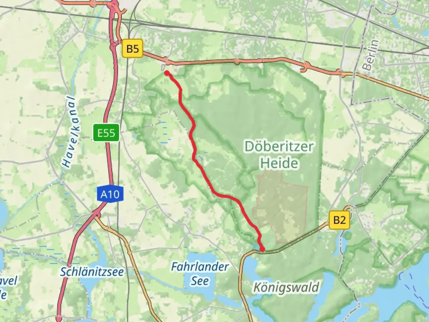
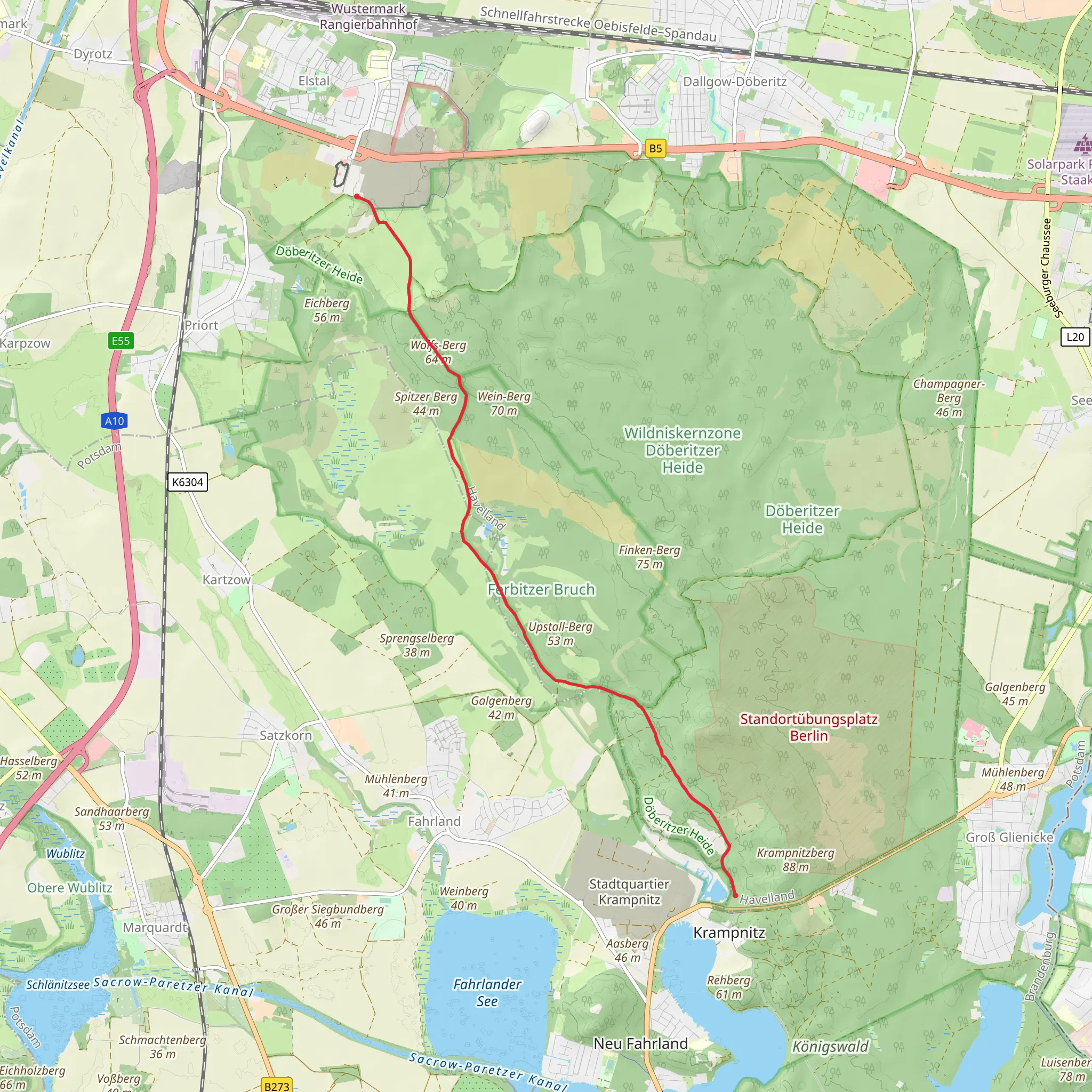
Embark on a journey through the picturesque landscapes of the Doeberitzer Heide, a serene natural reserve located near Havelland, Germany. This 10 km (approximately 6.2 miles) point-to-point trail offers a unique hiking experience with no significant elevation gain, making it accessible for hikers of varying skill levels. The trail is estimated to have a medium difficulty rating, primarily due to its length and the need for navigation through diverse terrains.
Getting There
To reach the trailhead, you can travel by car or public transport. If driving, head towards the town of Dallgow-Döberitz, which is conveniently located near the trail's starting point. For those using public transport, take a train to Dallgow-Döberitz station, which is well-connected to Berlin. From the station, a short taxi ride or a local bus can take you to the trailhead.
Trail Highlights
As you set out on the trail, you'll be greeted by the expansive beauty of the Doeberitzer Heide. This area is renowned for its diverse ecosystems, including heathlands, forests, and grasslands. The trail meanders through these varied landscapes, offering hikers a chance to immerse themselves in the tranquility of nature.
#### Flora and Fauna
The Doeberitzer Heide is a haven for wildlife enthusiasts. Keep an eye out for the European bison, which roam freely in the reserve. Birdwatchers will delight in spotting species such as the European nightjar and the woodlark. The heathland is also home to a variety of plant species, including heather and juniper, which add vibrant colors to the landscape, especially during the blooming season.
#### Historical Significance
The region holds historical significance, having been used as a military training ground in the past. Remnants of this history can still be seen in certain areas, adding an intriguing layer to your hike. The transformation of this land into a nature reserve is a testament to successful conservation efforts, allowing nature to reclaim and flourish in this once-utilitarian space.
Navigation and Safety
While the trail is well-marked, it's advisable to use the HiiKER app for navigation to ensure you stay on course. The app provides detailed maps and real-time updates, which can be particularly useful in areas where the trail may not be immediately visible. As with any hike, it's important to carry sufficient water, snacks, and a basic first-aid kit. Weather conditions can change, so dressing in layers and wearing sturdy hiking boots is recommended.
Final Stretch
As you approach the end of the trail, you'll find yourself near the Wolfs-Berg, a modest elevation that offers panoramic views of the surrounding landscape. This is a perfect spot to pause and reflect on the natural beauty you've encountered along the way. The trail concludes near the village of Seeburg, where you can find local amenities and transportation options to return to your starting point or continue exploring the region.
Comments and Reviews
User comments, reviews and discussions about the Wolfs-Berg via Doeberitzer Heide, Germany.
4.0
average rating out of 5
1 rating(s)
