11.6 km
~2 hrs 24 min
53 m
“Discover a tranquil hike through lush landscapes, rich history, and vibrant wildlife in Havelland, Germany.”
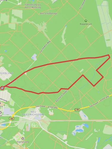
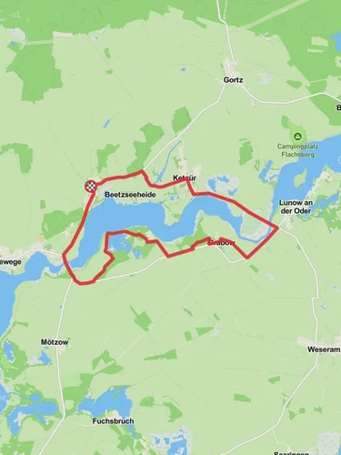
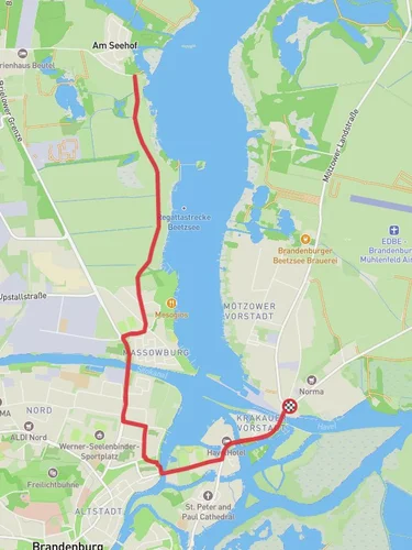
Nestled in the picturesque region of Havelland, Germany, the trail from Hohennauen to Ferchesar via Hohennauener See offers a serene and leisurely hiking experience. Spanning approximately 12 kilometers (about 7.5 miles) with virtually no elevation gain, this point-to-point trail is ideal for hikers seeking a gentle walk through nature.
### Getting There
To reach the trailhead near Havelland, you can opt for public transport or drive. If you're using public transport, the nearest major city is Berlin. From Berlin, take a regional train to Rathenow, which is the closest train station to Hohennauen. From Rathenow, local buses or a short taxi ride will bring you to the starting point. If driving, head west from Berlin on the A10 and then take the B5 towards Nauen, following signs to Hohennauen.
### Trail Highlights
The journey begins in the quaint village of Hohennauen, a charming locale that sets the tone for the tranquil hike ahead. As you set off, the trail meanders along the shores of Hohennauener See, a stunning lake that offers breathtaking views and opportunities for birdwatching. The lake is a haven for various bird species, including swans, herons, and ducks, making it a delightful spot for nature enthusiasts.
### Nature and Wildlife
The trail is enveloped by lush greenery and offers a rich tapestry of flora and fauna. As you walk, you'll be surrounded by dense woodlands and open meadows, providing a diverse habitat for wildlife. Keep an eye out for deer and foxes that occasionally make an appearance, and listen for the melodic calls of songbirds that inhabit the area.
### Historical Significance
Havelland is steeped in history, and as you traverse the trail, you'll be walking through a region that has witnessed centuries of change. The area was once part of the historic Brandenburg region, known for its medieval towns and castles. While the trail itself is primarily a natural escape, the surrounding villages and landscapes carry echoes of the past, offering a glimpse into the rich cultural heritage of the area.
### Navigation and Safety
The trail is well-marked and easy to follow, making it suitable for hikers of all levels. For navigation, consider using HiiKER, which provides detailed maps and real-time updates to ensure you stay on track. As the trail is relatively flat, it poses minimal challenges, but it's always wise to carry water, snacks, and a basic first-aid kit.
### Ending the Hike
The trail concludes in the village of Ferchesar, where you can relax and enjoy the local hospitality. Ferchesar offers a few quaint cafes and restaurants where you can unwind and reflect on your hike. From here, you can easily arrange transportation back to your starting point or continue exploring the beautiful Havelland region.
Reviews
User comments, reviews and discussions about the Hohennauen to Ferchesar via Hohennauener See, Germany.
0.0
average rating out of 5
0 rating(s)


