Download
Preview
Add to list
More
12.1 km
~2 hrs 42 min
176 m
Loop
“A scenic 12 km loop near Hamburg blends lush nature, WWII history, and moderate hiking challenges.”
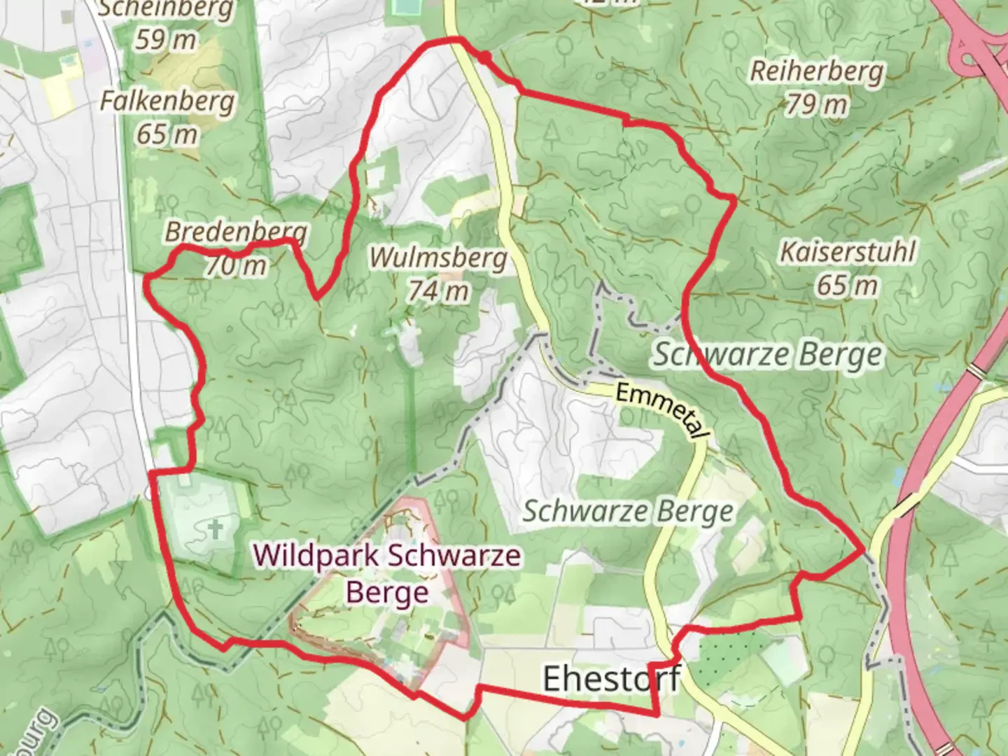
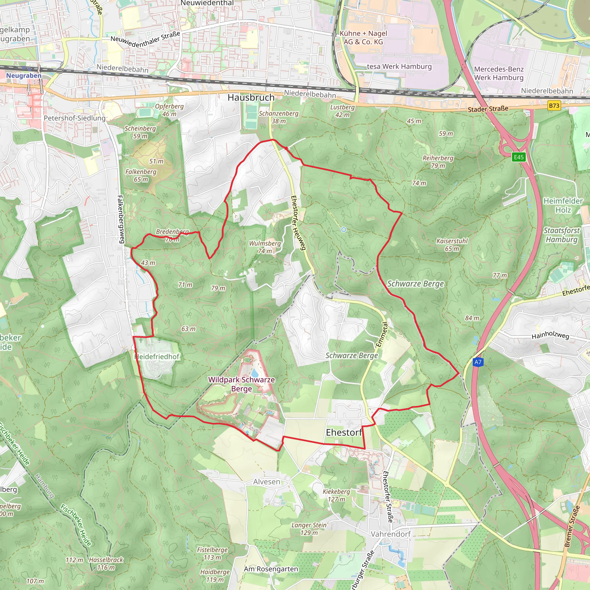
Starting near Hamburg, Germany, this 12 km (7.5 miles) loop trail offers a delightful mix of natural beauty and historical intrigue. With an elevation gain of around 100 meters (328 feet), it is rated as a medium difficulty hike, making it accessible for most hikers with a moderate level of fitness.### Getting There To reach the trailhead, you can either drive or use public transport. If driving, set your GPS to the nearest known address: Altonaer Volkspark, Hamburg. There is ample parking available near the park. For those using public transport, take the S-Bahn to Stellingen station. From there, it's a short bus ride on line 22 to the Altonaer Volkspark stop, which is a convenient starting point for the hike.### Trail Navigation For navigation, it is highly recommended to use the HiiKER app, which provides detailed maps and real-time updates. This will ensure you stay on the correct path and can easily find points of interest along the way.### Trail Highlights The trail begins at the Altonaer Volkspark, a large urban park that offers a serene escape from the bustling city. As you start your hike, you'll pass through lush green meadows and dense woodlands, providing a rich tapestry of flora and fauna. Keep an eye out for native bird species such as the European robin and the great spotted woodpecker.### Historical Significance Approximately 3 km (1.9 miles) into the hike, you'll come across the remnants of an old bunker from World War II. This site serves as a poignant reminder of the region's historical significance. Take a moment to reflect on the past before continuing your journey.### Midway Point Around the 6 km (3.7 miles) mark, you'll reach the highest point of the trail, offering panoramic views of the surrounding landscape. This is an excellent spot for a break and some photography. The elevation gain here is about 50 meters (164 feet) from the starting point, making it a gentle but noticeable climb.### Flora and Fauna As you descend, the trail meanders through a series of small ponds and wetlands. These areas are teeming with wildlife, including frogs, dragonflies, and occasionally, deer. The diverse plant life includes oak, beech, and birch trees, as well as a variety of wildflowers depending on the season.### Final Stretch The last 3 km (1.9 miles) of the trail loop back towards the Altonaer Volkspark. This section is relatively flat and easy, allowing you to enjoy the final moments of your hike at a leisurely pace. You'll pass by several picnic areas and playgrounds, making it a great spot for families to relax and unwind.### Practical Tips - Wear sturdy hiking boots, as some sections of the trail can be muddy, especially after rain. - Bring plenty of water and snacks, as there are limited facilities along the route. - Check the weather forecast before heading out, and dress accordingly. - Use the HiiKER app for real-time navigation and updates.This trail offers a perfect blend of natural beauty, historical landmarks, and moderate physical challenge, making it a rewarding experience for hikers of all levels.
Comments and Reviews
User comments, reviews and discussions about the Wanderweg 21 and 22, Germany.
4.5
average rating out of 5
2 rating(s)
