Download
Preview
Add to list
More
12.4 km
~2 hrs 34 min
59 m
Loop
“This 12 km trail near Hamburg combines scenic beauty, historical landmarks, and moderate hiking challenges.”
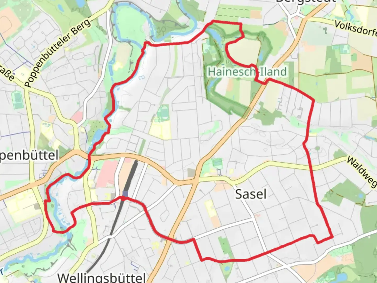
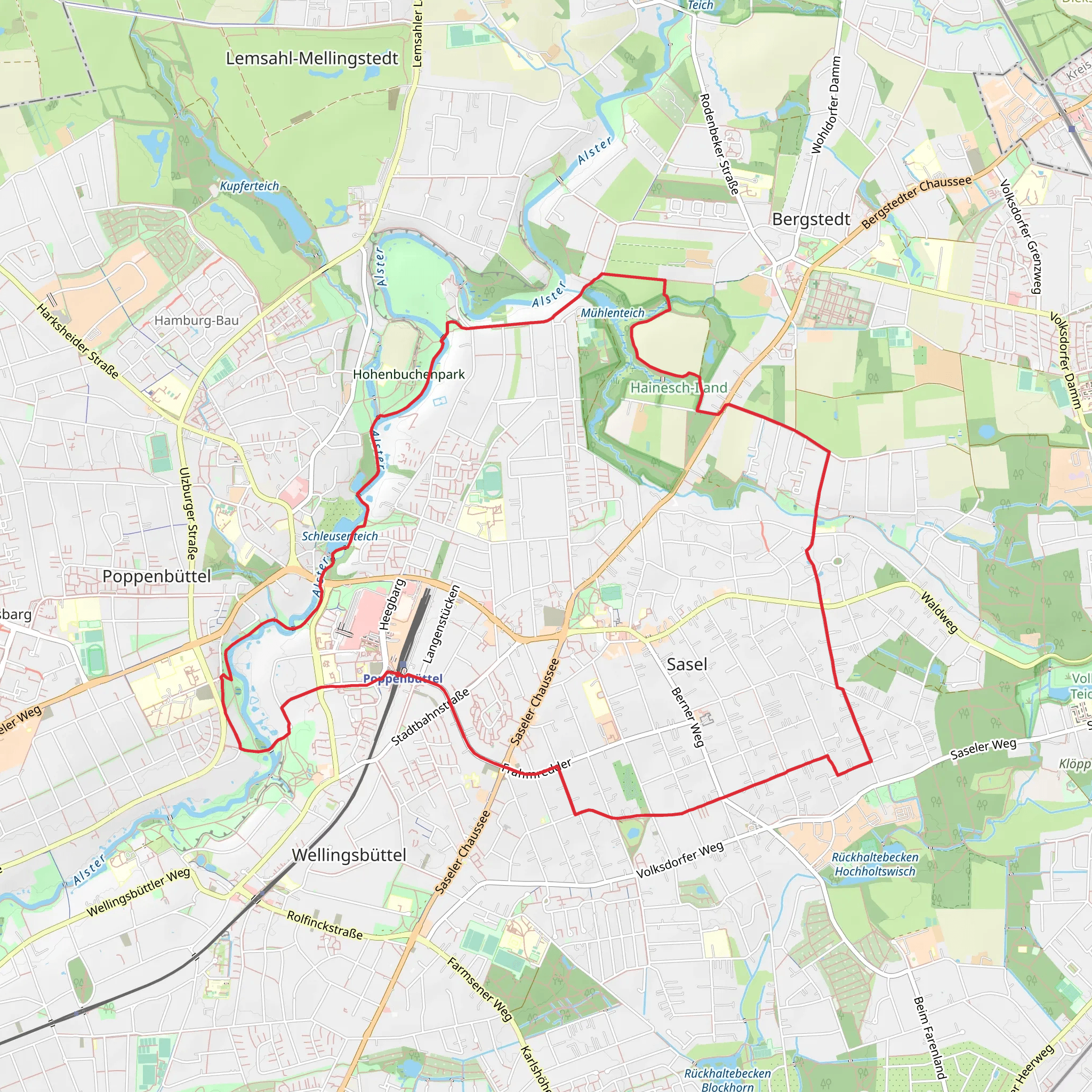
Starting near Hamburg, Germany, this 12 km (7.5 miles) loop trail offers a delightful mix of natural beauty and historical significance. With an elevation gain of approximately 0 meters (0 feet), it is accessible for hikers of varying skill levels, though it is rated as medium difficulty due to its length and terrain.### Getting There To reach the trailhead, you can take public transport from Hamburg city center. The nearest significant landmark is the Poppenbüttel S-Bahn station. From there, it's a short walk to the starting point of the trail. If you're driving, there are parking facilities available near the station.### Trail Overview The trail begins near the serene Muehlenteich, a picturesque pond that sets the tone for the rest of your hike. As you start, you'll be greeted by lush greenery and the gentle sounds of water, making it an ideal spot for a moment of tranquility before you embark on the journey.### Alsterwanderweg Section The first part of the trail follows the Alsterwanderweg, a well-known path that runs alongside the Alster River. This section is particularly scenic, with the river providing a constant companion. Keep an eye out for various species of waterfowl and other wildlife that inhabit the area. The path is well-marked and relatively flat, making it easy to navigate.### Historical Significance As you continue, you'll come across several historical landmarks. One notable site is the Hainesch-Iland nature reserve, which has a rich history dating back to the 19th century. Originally used for agriculture, it has since been transformed into a protected area, preserving its natural beauty and biodiversity. The reserve is home to a variety of plant species, some of which are rare and protected.### Furtstieg Section The trail then transitions to the Furtstieg, a more wooded area that offers a different kind of beauty. This section is slightly more challenging due to its uneven terrain, but it is well worth the effort. The dense forest provides ample shade, making it a pleasant walk even on warmer days. Here, you might encounter deer and other woodland creatures, so keep your camera ready.### Navigation and Safety For navigation, it is highly recommended to use the HiiKER app, which provides detailed maps and real-time updates. The trail is generally well-marked, but having a reliable navigation tool can enhance your experience and ensure you stay on track.### Points of Interest - Muehlenteich Pond: A serene starting point with opportunities for bird-watching. - Alster River: Offers scenic views and a chance to see various waterfowl. - Hainesch-Iland Nature Reserve: Rich in history and biodiversity, perfect for nature enthusiasts. - Furtstieg Forest: A shaded, wooded area that adds a bit of challenge to the hike.### Final Stretch As you near the end of the loop, you'll find yourself back near the Muehlenteich, completing the circuit. This is a great spot to relax and reflect on the journey, perhaps even enjoying a picnic by the water.This trail offers a perfect blend of natural beauty, historical significance, and moderate physical challenge, making it a rewarding experience for any hiker.
What to expect?
Activity types
Comments and Reviews
User comments, reviews and discussions about the Muehlenteich and Hainesch-Iland via Alsterwanderweg and Furtstieg, Germany.
average rating out of 5
0 rating(s)
