Download
Preview
Add to list
More
368.2 km
~17 days
896 m
Multi-Day
“Embark on the Marskramerpad, a Dutch odyssey steeped in history, nature, and cultural tapestry.”
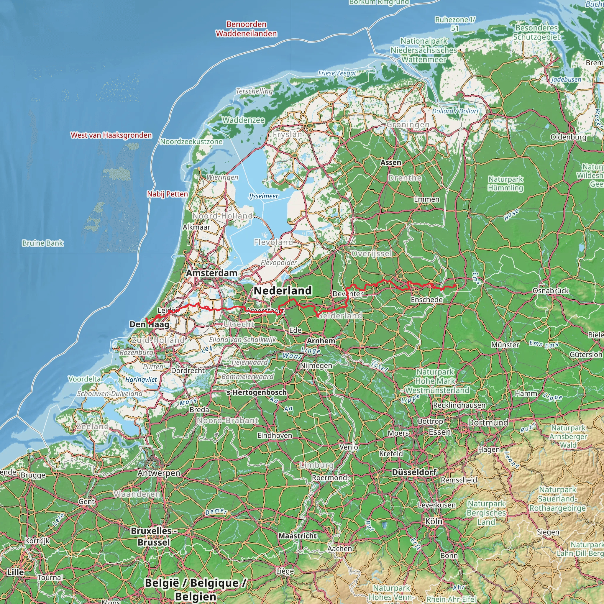
The Marskramerpad, also known as the Tinker's Path, is a long-distance walking trail that spans approximately 368 kilometers (about 229 miles) with an elevation gain of around 800 meters (roughly 2625 feet). This historic route takes you from the eastern border of the Netherlands near Grafschaft Bentheim in Germany, across the breadth of the country, to the North Sea coast at The Hague.
Getting to the Trailhead To start your journey on the Marskramerpad, you can reach the trailhead near Grafschaft Bentheim by taking a train to Bad Bentheim station and then a short bus or taxi ride to the trail's starting point. If you're driving, you can park your car in the vicinity of the trailhead and begin your hike.
Trail Experience As you embark on the Marskramerpad, you'll traverse a variety of landscapes including forests, heathlands, and picturesque Dutch towns. The trail is well-marked with the characteristic white-red signage, making navigation straightforward. For additional navigation support, the HiiKER app provides detailed maps and waypoints to ensure you stay on track.
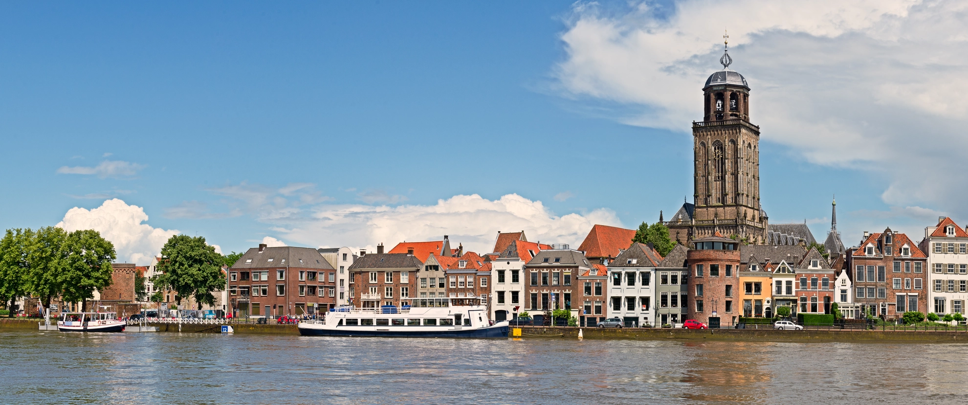
Historical Significance The Marskramerpad has a rich history, once used by peddlers (marskramers) who traveled the country selling their wares. As you walk, you'll encounter historical landmarks that hark back to this era, including ancient trade routes, traditional Dutch windmills, and historic cities such as Deventer and Amersfoort, which were once bustling hubs for merchants.
Landmarks and Nature One of the highlights of the trail is the passage through the Veluwe, a region known for its expansive heathlands and dense forests. Wildlife is abundant here, and you may spot deer, wild boar, and a variety of bird species. The trail also takes you through the Utrecht Hill Ridge, offering gentle climbs and scenic vistas.
Cultural Highlights The Marskramerpad not only offers natural beauty but also cultural experiences. You'll pass through charming villages and towns where you can sample local cuisine and learn about Dutch culture. The city of Amersfoort, for example, is known for its well-preserved medieval city center.
Preparation and Planning Given the trail's length, it's advisable to plan your hike in stages, with options for overnight stays in guesthouses or campsites along the route. The trail can be hiked year-round, but the best time to go is from spring to autumn when the weather is milder and the days are longer.
Safety and Equipment While the Marskramerpad is rated as medium difficulty, it's important to be well-prepared. Ensure you have suitable footwear, clothing for variable weather, and enough food and water. It's also wise to carry a first-aid kit and a charged mobile phone with the HiiKER app downloaded for trail maps and emergency contact.
Remember, the Marskramerpad is not just a hike; it's a journey through the heart of the Netherlands, rich in history and natural beauty. Whether you're a seasoned hiker or a casual walker, this trail offers something for everyone.
Comments and Reviews
User comments, reviews and discussions about the Marskramerpad, Germany.
4.38
average rating out of 5
8 rating(s)

