Download
Preview
Add to list
More
8.4 km
~2 hrs 8 min
285 m
Loop
“Experience the Swabian Alps' beauty with an 8 km loop featuring lush forests, meadows, and panoramic views!”
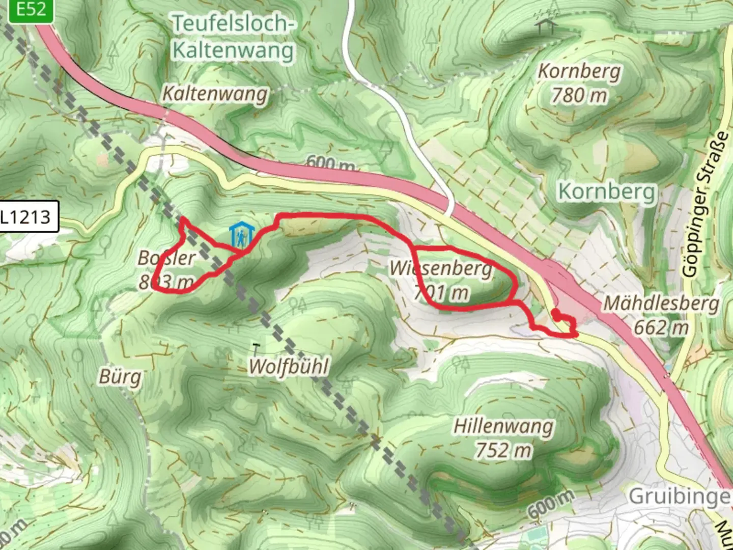
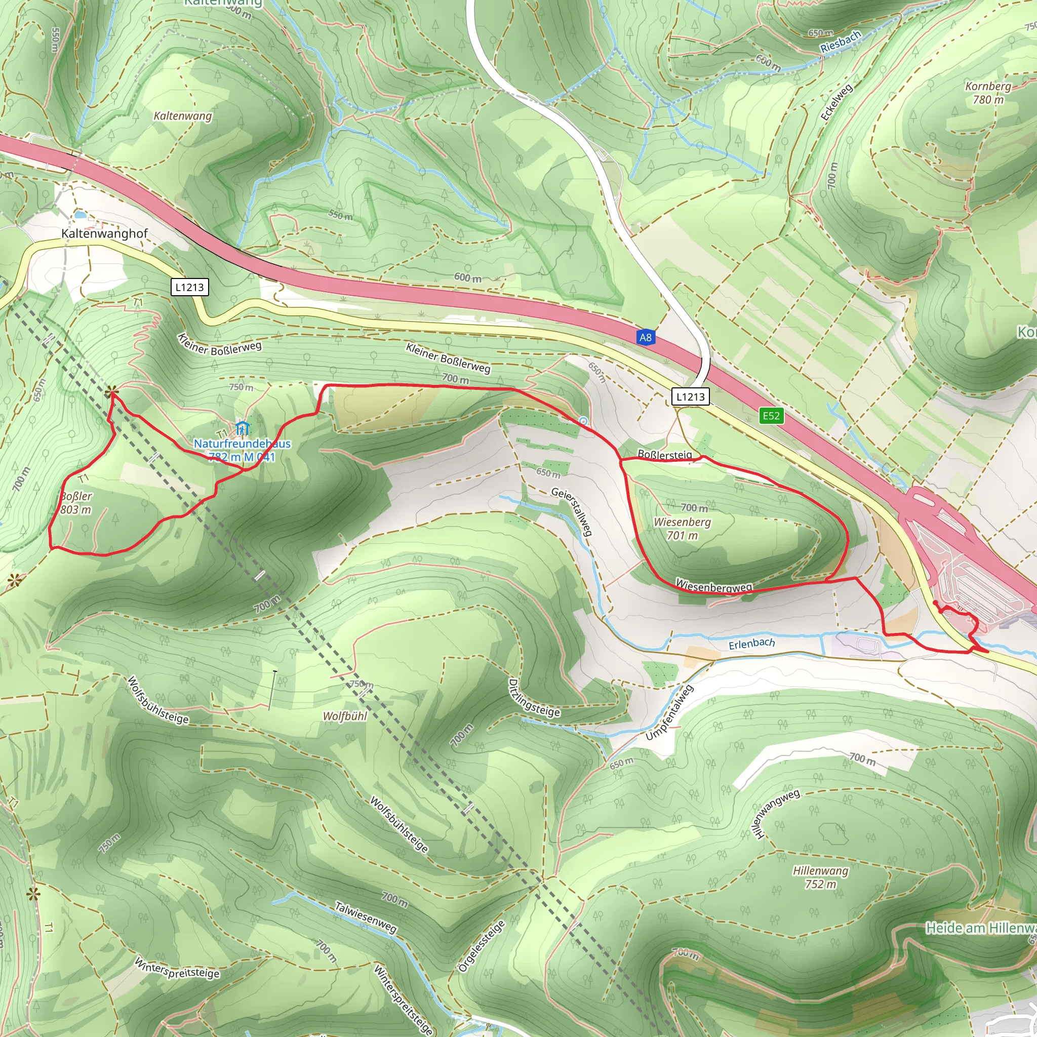
Starting near Göppingen, Germany, the Boßler via Wiesenbergweg trail is a delightful 8 km (5 miles) loop that offers a moderate challenge with an elevation gain of around 200 meters (656 feet). This trail is perfect for those looking to experience the beauty of the Swabian Alps while enjoying a mix of forested paths and open meadows.
Getting There To reach the trailhead, you can drive to Göppingen, where parking is available near the starting point. If you prefer public transport, Göppingen is well-connected by train from major cities like Stuttgart. From the Göppingen train station, local buses can take you closer to the trailhead, or you can opt for a short taxi ride.
Trail Overview The trail begins near Göppingen and quickly immerses you in the serene beauty of the Swabian Alps. The initial section is relatively flat, allowing you to warm up as you walk through lush forests. After approximately 2 km (1.2 miles), the trail starts to ascend gradually, offering glimpses of the surrounding landscape through the trees.
Key Landmarks and Points of Interest - **Wiesenbergweg**: As you continue, you'll reach the Wiesenbergweg, a scenic path that meanders through open meadows. This section is particularly beautiful in spring and summer when wildflowers are in full bloom. - **Boßler Summit**: Around the 4 km (2.5 miles) mark, you'll begin the ascent to the Boßler summit. The climb is steady but manageable, and the panoramic views from the top are well worth the effort. On a clear day, you can see as far as the Black Forest and the Alps. - **Historical Significance**: The Boßler area has a rich history, with evidence of ancient settlements dating back to the Roman era. Keep an eye out for informational plaques along the trail that provide insights into the region's past.
Flora and Fauna The trail is home to a diverse range of flora and fauna. In the forested sections, you might spot deer, foxes, and a variety of bird species. The meadows are a haven for butterflies and bees, especially during the warmer months. The area is also known for its unique plant species, including several types of orchids.
Navigation and Safety While the trail is well-marked, it's always a good idea to have a reliable navigation tool. The HiiKER app is an excellent resource for this trail, providing detailed maps and real-time updates. Make sure to wear sturdy hiking boots, as some sections can be rocky and uneven. Carry enough water and snacks, especially if you plan to take your time and enjoy the scenery.
Final Stretch The descent from the Boßler summit is gradual, taking you back through a mix of forest and meadow. The final 2 km (1.2 miles) loop back to the starting point, offering a gentle cooldown as you reflect on the stunning landscapes you've just explored.
This trail is a fantastic way to experience the natural beauty and historical richness of the Swabian Alps, making it a must-visit for any hiking enthusiast.
What to expect?
Activity types
Comments and Reviews
User comments, reviews and discussions about the Boßler via Wiesenbergweg, Germany.
4.5
average rating out of 5
2 rating(s)
