56.8 km
~2 day
1534 m
"A wonderous hike from the heart of Gemeindeverwaltungsverband Heuberg"
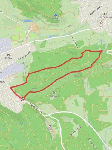
The Donauberglandweg is a 35 mi trail that starts in Gosheim, Germany and ends in St. Maurus im Feld, Germany. The trail is considered to be easy to hike and has a total elevation gain of 7298 ft. Normally the trail takes 1 day to complete but can be finished in less than a day. Either you are not allowed to bring your dog on the Donauberglandweg or it is generally not advised. The warmest months are June, July, and August and the coldest months are December, January, and February. The wettest months are June, July, and August and the driest months are December, January, and February.Photo Credit: Olga ErnstAndreas PraefckeZottieWolfgang StaudtDe.Update


Reviews
User comments, reviews and discussions about the Donauberglandweg, Germany.
4.0
average rating out of 5
5 rating(s)
Loading reviews...