Westliche Karwendelspitze to Untere Dammkarscharte and Karwendelbahn Talstation Walk
Download
Preview
Add to list
More
7.7 km
~1 hrs 53 min
207 m
Point-to-Point
“Embark on a captivating 8km journey through the Bavarian Alps, rich with panoramic views and historical intrigue.”
Starting near the picturesque town of Garmisch-Partenkirchen, Germany, this trail offers a captivating journey through the Bavarian Alps. The trailhead is easily accessible by both public transport and car. If you're taking public transport, you can catch a train to Garmisch-Partenkirchen station and then a bus to the Karwendelbahn Talstation. For those driving, there is ample parking available at the Karwendelbahn Talstation.
Trail Overview
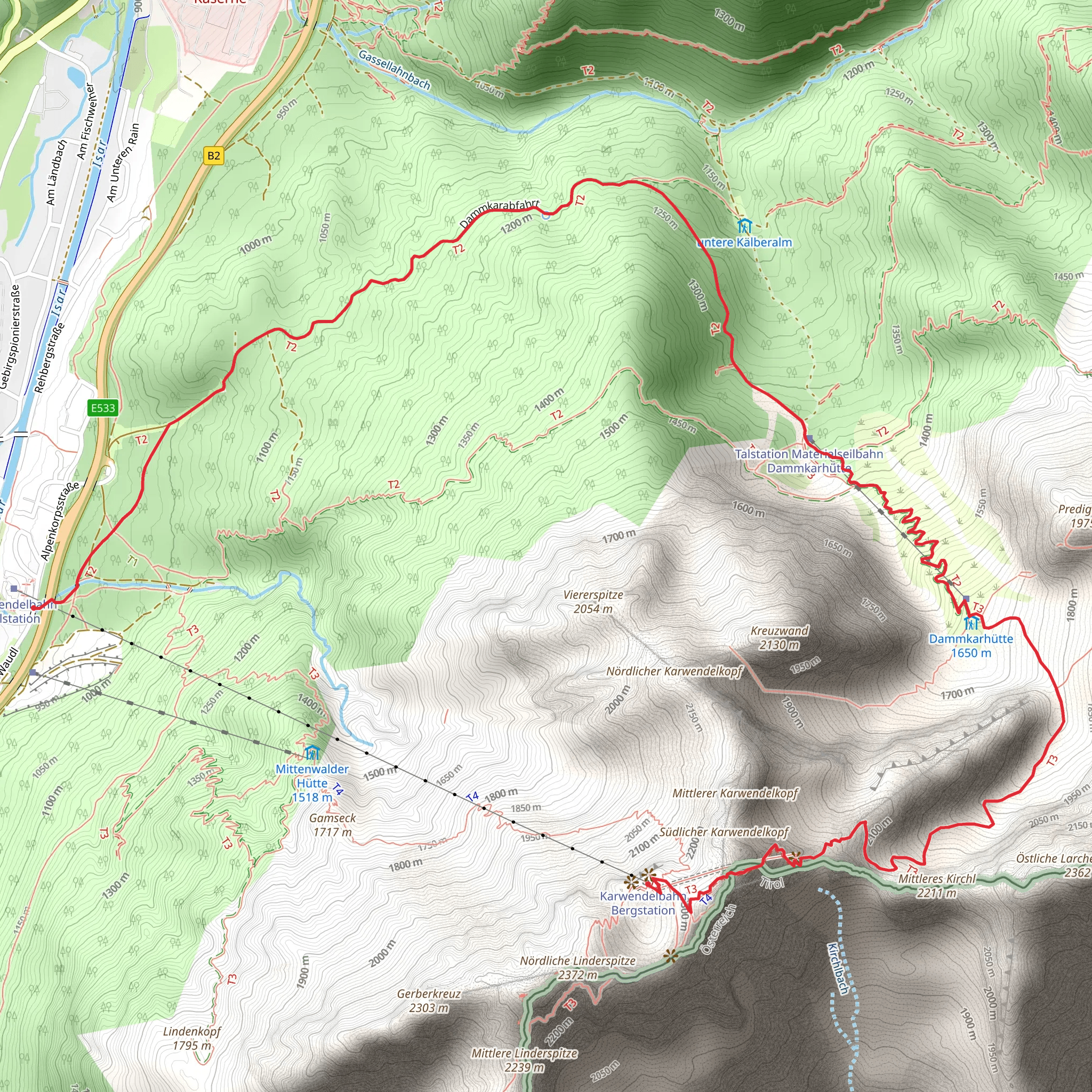
The trail spans approximately 8 kilometers (5 miles) with an elevation gain of around 200 meters (656 feet). This point-to-point hike is rated as medium difficulty, making it suitable for hikers with a moderate level of fitness. The trail begins at the Westliche Karwendelspitze, a prominent peak in the Karwendel range, and ends at the Karwendelbahn Talstation.
Key Landmarks and Sections
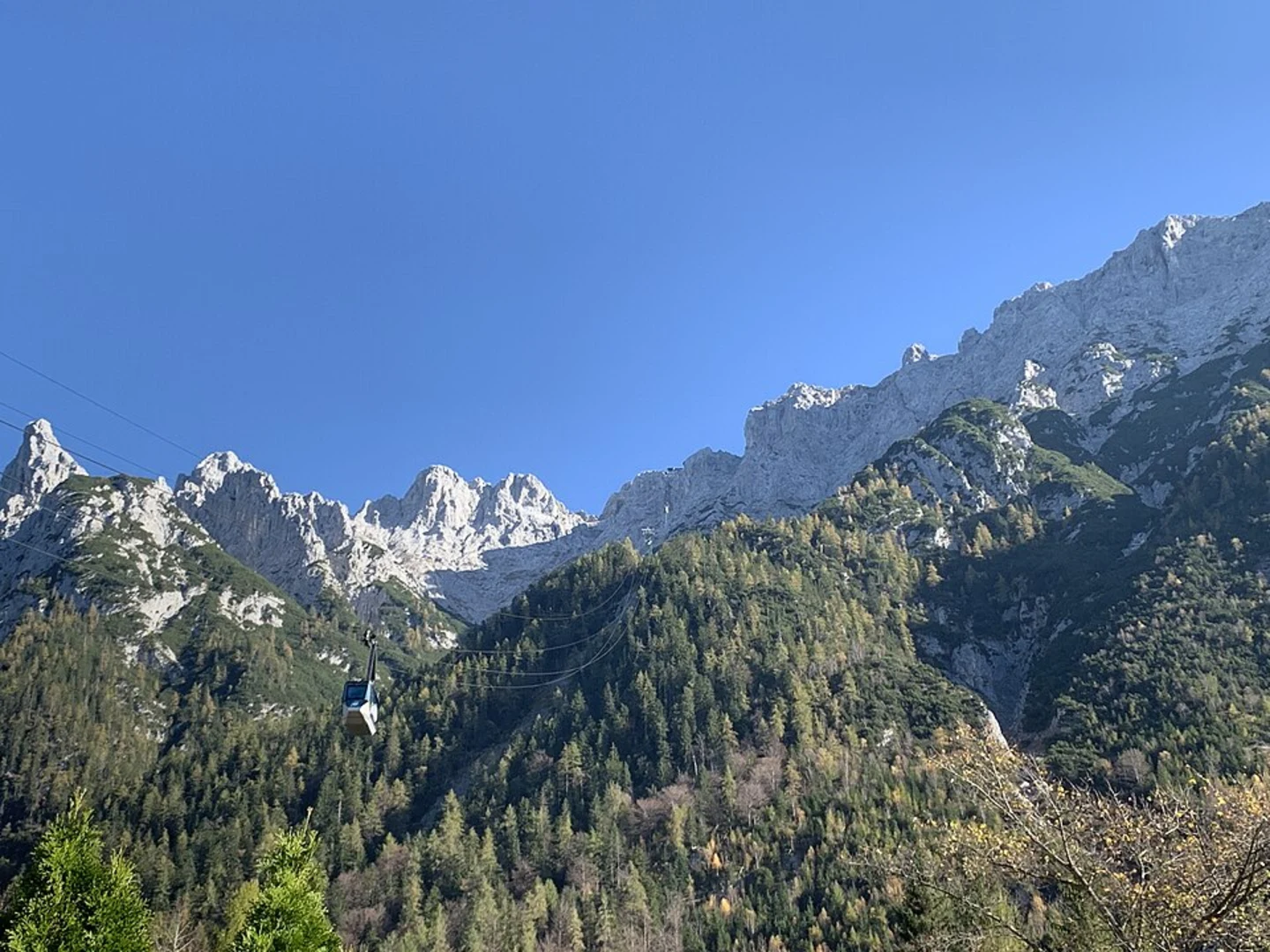
Westliche Karwendelspitze: Starting at an elevation of 2,385 meters (7,825 feet), the Westliche Karwendelspitze offers breathtaking panoramic views of the surrounding alpine landscape. This peak is a significant landmark in the Karwendel range and provides a stunning backdrop for the beginning of your hike.
Untere Dammkarscharte: As you descend from the Westliche Karwendelspitze, you'll reach the Untere Dammkarscharte, a mountain pass that sits at an elevation of approximately 2,100 meters (6,890 feet). This section of the trail is characterized by rocky terrain and steep inclines, so be sure to watch your footing. The pass offers a unique vantage point to observe the rugged beauty of the Karwendel range.
Flora and Fauna: The trail traverses diverse alpine ecosystems, home to a variety of flora and fauna. Keep an eye out for Edelweiss, a rare and protected flower that blooms in the high altitudes. You might also spot marmots, chamois, and golden eagles soaring above.
Historical Significance: The Karwendel range has a rich history, with evidence of human activity dating back to prehistoric times. During World War II, the area was used for military training, and remnants of old bunkers and fortifications can still be found along the trail. These historical landmarks offer a glimpse into the region's past and add an intriguing element to your hike.
Navigation and Safety
Given the trail's moderate difficulty, it's advisable to use a reliable navigation tool like HiiKER to ensure you stay on the correct path. The trail is well-marked, but weather conditions can change rapidly in the mountains, so always be prepared with appropriate gear, including a map, compass, and GPS device.
Final Descent to Karwendelbahn Talstation
The final section of the trail involves a descent to the Karwendelbahn Talstation. This part of the hike is less strenuous, allowing you to enjoy the serene alpine meadows and forests. The Karwendelbahn Talstation marks the end of your journey, where you can take a cable car back to the starting point or explore the nearby attractions in Garmisch-Partenkirchen.
This hike offers a perfect blend of natural beauty, historical intrigue, and moderate physical challenge, making it a must-do for any avid hiker exploring the Bavarian Alps.
What to expect?
Activity types
Comments and Reviews
User comments, reviews and discussions about the Westliche Karwendelspitze to Untere Dammkarscharte and Karwendelbahn Talstation Walk, Germany.
4.0
average rating out of 5
1 rating(s)
