Download
Preview
Add to list
More
10.6 km
~3 hrs 45 min
979 m
Loop
“Embark on the stunning Kreuzeck via Jägersteig trail for a captivating 11 km adventure in Bavaria's Alps.”
Starting your adventure near the picturesque town of Garmisch-Partenkirchen, Germany, the Kreuzeck via Jägersteig trail offers a captivating loop of around 11 km (6.8 miles) with an elevation gain of approximately 900 meters (2,950 feet). This medium-difficulty hike is perfect for those looking to experience the stunning Bavarian Alps.
Getting There To reach the trailhead, you can either drive or use public transport. If you're driving, head towards Garmisch-Partenkirchen and look for parking near the Kreuzeckbahn cable car station. For those using public transport, take a train to Garmisch-Partenkirchen station and then a bus or taxi to the Kreuzeckbahn cable car station.
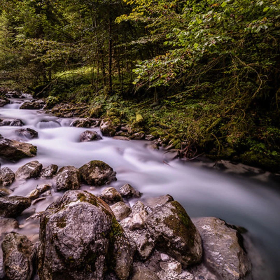
Trail Overview The trail begins near the Kreuzeckbahn cable car station, a well-known landmark in the area. From here, you'll embark on a loop that takes you through dense forests, open meadows, and rocky paths, offering a diverse range of landscapes.
Key Sections and Landmarks - **Initial Ascent**: The first part of the trail involves a steady climb through a forested area. This section is about 3 km (1.9 miles) long and gains around 300 meters (985 feet) in elevation. Keep an eye out for local wildlife such as deer and various bird species. - **Jägersteig Path**: After the initial ascent, you'll reach the Jägersteig path, a narrower and more rugged section. This part of the trail is approximately 2 km (1.2 miles) long and offers stunning views of the surrounding mountains. The elevation gain here is around 200 meters (655 feet).
- Kreuzeck Summit: The trail then leads you to the Kreuzeck summit, where you'll find a small hut and a cross marking the peak. This is a great spot to take a break and enjoy panoramic views of the Bavarian Alps. The summit is roughly 5 km (3.1 miles) from the start, with an elevation gain of about 400 meters (1,310 feet).
- Descent and Return: The descent takes you through open meadows and back into the forest, completing the loop. This section is about 6 km (3.7 miles) long and gradually brings you back to the starting point.
Historical Significance Garmisch-Partenkirchen and its surrounding areas have a rich history. The town itself was a significant location during the 1936 Winter Olympics. The trail also passes near several World War II bunkers and fortifications, remnants of Germany's turbulent past.
Navigation and Safety For navigation, it's highly recommended to use the HiiKER app, which provides detailed maps and real-time updates. The trail is well-marked, but having a reliable navigation tool ensures you stay on track.
Flora and Fauna The trail offers a rich tapestry of flora and fauna. In the spring and summer, you'll find a variety of wildflowers, including alpine roses and edelweiss. The forested sections are home to deer, foxes, and a variety of bird species, making it a great hike for nature enthusiasts.
Final Tips - **Weather**: Always check the weather forecast before heading out. The weather in the Alps can change rapidly. - **Gear**: Wear sturdy hiking boots and bring layers, as temperatures can vary with elevation. - **Hydration and Snacks**: Carry enough water and snacks, especially if you plan to take your time and enjoy the scenery.
This trail offers a perfect blend of natural beauty, historical significance, and physical challenge, making it a must-do for any hiking enthusiast visiting the Bavarian Alps.

What to expect?
Activity types
Comments and Reviews
User comments, reviews and discussions about the Kreuzeck via Jägersteig, Germany.
4.17
average rating out of 5
6 rating(s)