Download
Preview
Add to list
More
7.9 km
~1 hrs 43 min
77 m
Loop
“Discover the scenic and historical 8 km loop near Fürth, perfect for nature lovers and history buffs alike.”
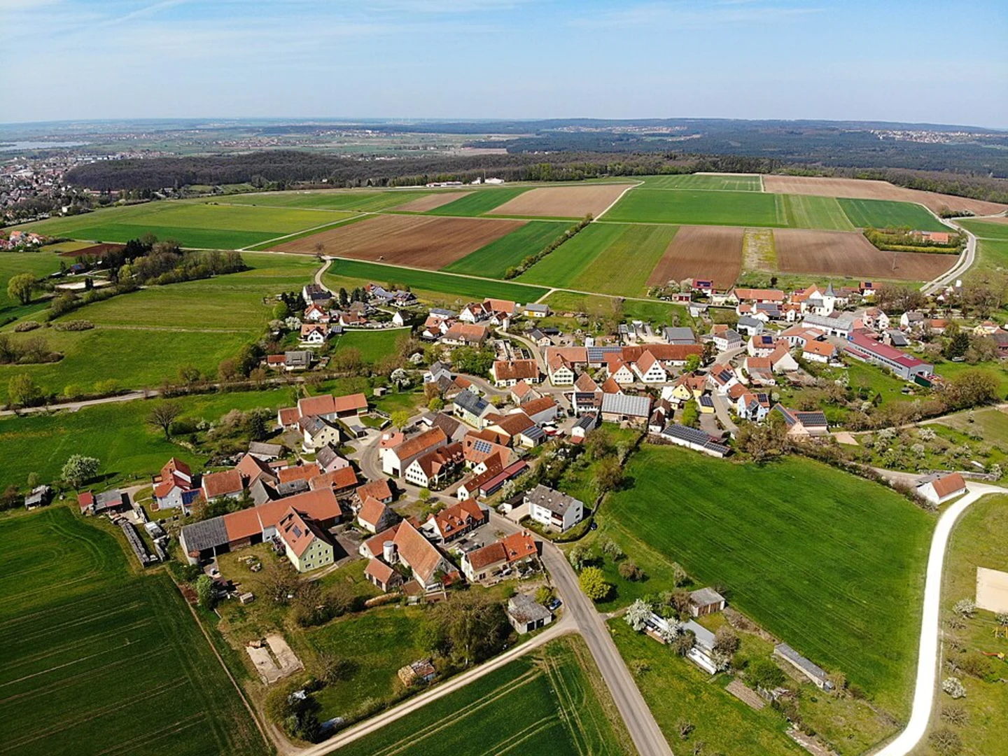
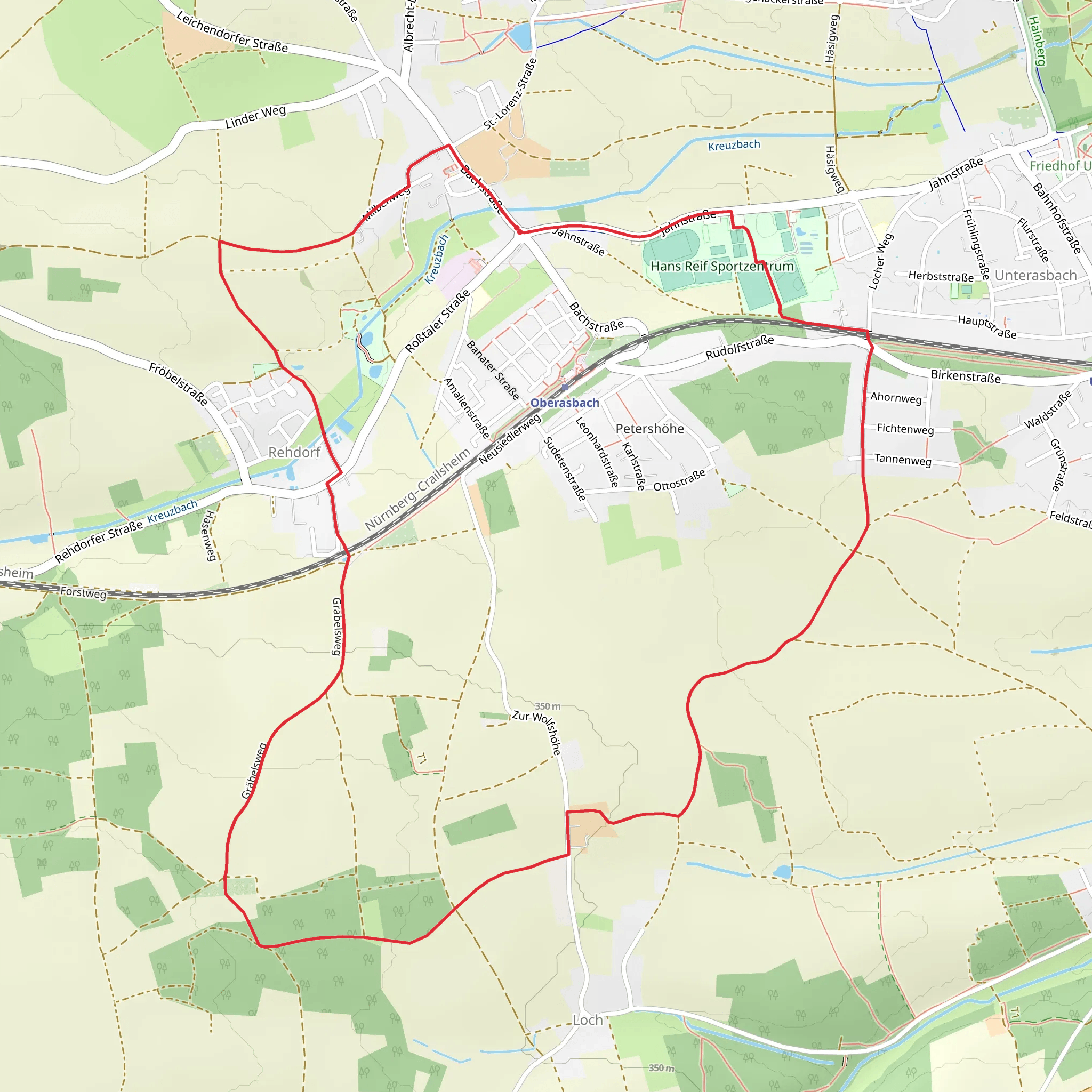
Starting near the charming district of Fürth in Germany, this 8 km (approximately 5 miles) loop trail offers a delightful mix of natural beauty and cultural history. With an elevation gain of around 0 meters, it is accessible for hikers of varying skill levels, though it is rated as medium difficulty due to its length and terrain.### Getting There To reach the trailhead, you can either drive or use public transport. If driving, set your GPS to the vicinity of Oberasbach, near Fürth. For those using public transport, take a train or bus to Fürth and then a local bus to Oberasbach. The nearest significant landmark to the trailhead is the Oberasbach Town Hall, which is well-connected by local transit options.### Trail Navigation For navigation, it is highly recommended to use the HiiKER app, which provides detailed maps and real-time updates to ensure you stay on track.### Trail Highlights As you embark on this loop, you'll traverse a variety of landscapes, from serene woodlands to open fields. The trail is well-marked, but always keep an eye out for the distinctive trail markers to stay on course.#### Nature and Wildlife The trail meanders through lush forests and open meadows, offering a chance to spot local wildlife such as deer, foxes, and a variety of bird species. In spring and summer, the meadows are adorned with wildflowers, making it a picturesque hike.#### Historical Significance The region around Fürth has a rich history dating back to the Middle Ages. As you hike, you'll come across several historical markers and plaques that provide insights into the area's past. One notable landmark is the old mill near the halfway point of the trail, which dates back several centuries and offers a glimpse into the region's agricultural history.### Points of Interest - Oberasbach Town Hall: The starting point of your hike, this building is a fine example of local architecture and serves as a central hub for the community. - Old Mill: Located approximately 4 km (2.5 miles) into the hike, this historical site is perfect for a short rest and some photos. - Woodland Paths: Around 6 km (3.7 miles) into the trail, you'll enter a dense forest area, providing a cool and shaded environment, ideal for a summer hike.### Preparation Tips - Footwear: Given the varied terrain, sturdy hiking boots are recommended. - Water and Snacks: There are no facilities along the trail, so bring enough water and snacks to last the entire hike. - Weather: Check the weather forecast before heading out, as the trail can become muddy after rain.### Safety Considerations - Trail Markers: Always follow the trail markers and use the HiiKER app for navigation. - Wildlife: While wildlife encounters are rare, it's always good to be aware of your surroundings and respect local fauna.This loop trail around Oberasbach offers a perfect blend of natural beauty and historical intrigue, making it a rewarding experience for any hiker.
What to expect?
Activity types
Comments and Reviews
User comments, reviews and discussions about the Rundweg um Oberasbach, Germany.
4.5
average rating out of 5
2 rating(s)

