Download
Preview
Add to list
More
11.5 km
~3 hrs 17 min
592 m
Loop
“Explore serene forests, historic sites, panoramic views, and diverse ecosystems on this moderately challenging 12 km loop trail.”
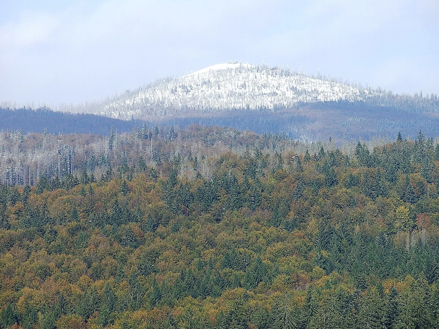
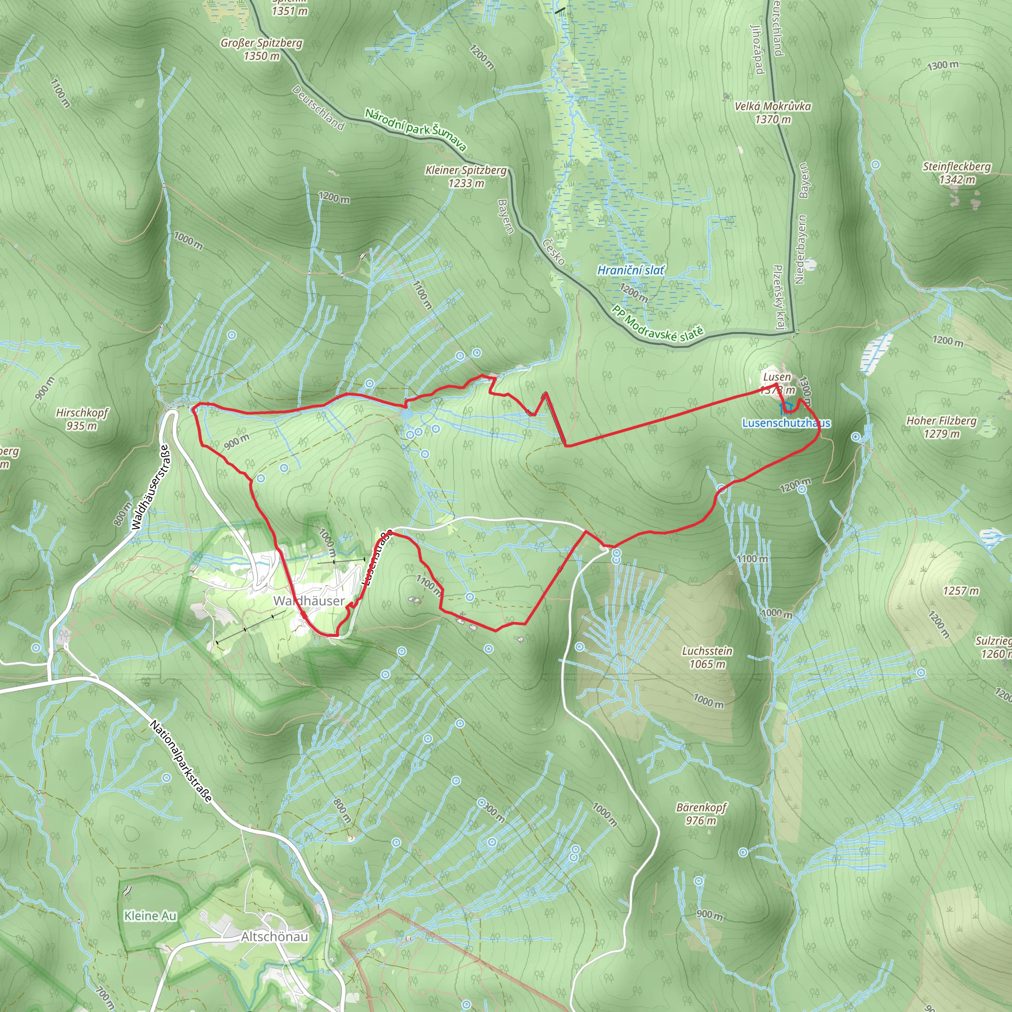
Starting near Freyung-Grafenau in Germany, this 12 km (7.5 miles) loop trail offers a medium difficulty hike with an elevation gain of approximately 500 meters (1,640 feet). The trailhead is easily accessible by car, with parking available nearby. For those using public transport, the nearest significant landmark is the Freyung train station, from where you can take a local bus to the trailhead.### Initial Ascent and Martinsklause Reservoir The hike begins with a gentle ascent through dense forest, providing a serene start to your journey. After about 2 km (1.2 miles), you'll reach the Martinsklause reservoir. This historic site was originally constructed in the 19th century to support the timber industry. The reservoir is a great spot for a short break, offering picturesque views and a chance to learn about the region's industrial past.### Climbing Towards Lusen Continuing from Martinsklause, the trail becomes steeper as you head towards the Lusen summit. This section covers roughly 4 km (2.5 miles) and includes an elevation gain of about 300 meters (984 feet). The path is well-marked but can be rocky, so sturdy hiking boots are recommended. Along the way, you'll pass through mixed forests and might spot local wildlife such as deer and various bird species.### Lusen Summit Reaching the Lusen summit, at an elevation of 1,373 meters (4,505 feet), you'll be rewarded with panoramic views of the Bavarian Forest and beyond. The summit is marked by a large cross and offers a 360-degree view, making it an ideal spot for photography. On clear days, you can see as far as the Alps. This is a good place to rest and enjoy a packed lunch while taking in the scenery.### Descent via Ranne and Luchs The descent begins by heading towards the Ranne and Luchs areas. This part of the trail is less steep but still requires careful footing, especially if the ground is wet. The trail meanders through lush meadows and dense forests, covering about 6 km (3.7 miles) back to the trailhead. Along the way, you'll encounter several interpretive signs that provide information about the local flora and fauna, enhancing your understanding of the ecosystem.### Navigation and Safety For navigation, it's highly recommended to use the HiiKER app, which provides detailed maps and real-time updates. The trail is well-marked, but having a reliable navigation tool can help ensure you stay on track. Always carry sufficient water, snacks, and a first-aid kit. Weather in this region can be unpredictable, so check the forecast and dress in layers.### Getting There If driving, set your GPS to Freyung-Grafenau and follow the signs to the trailhead parking area. For public transport users, take a train to Freyung station and then a local bus to the trailhead. The bus schedules are frequent, but it's advisable to check the latest timings on the local transport website.This trail offers a blend of natural beauty, historical significance, and moderate physical challenge, making it a rewarding experience for hikers of all levels.
What to expect?
Activity types
Comments and Reviews
User comments, reviews and discussions about the Martinsklause and Lusen via Ranne and Luchs, Germany.
4.4
average rating out of 5
5 rating(s)

