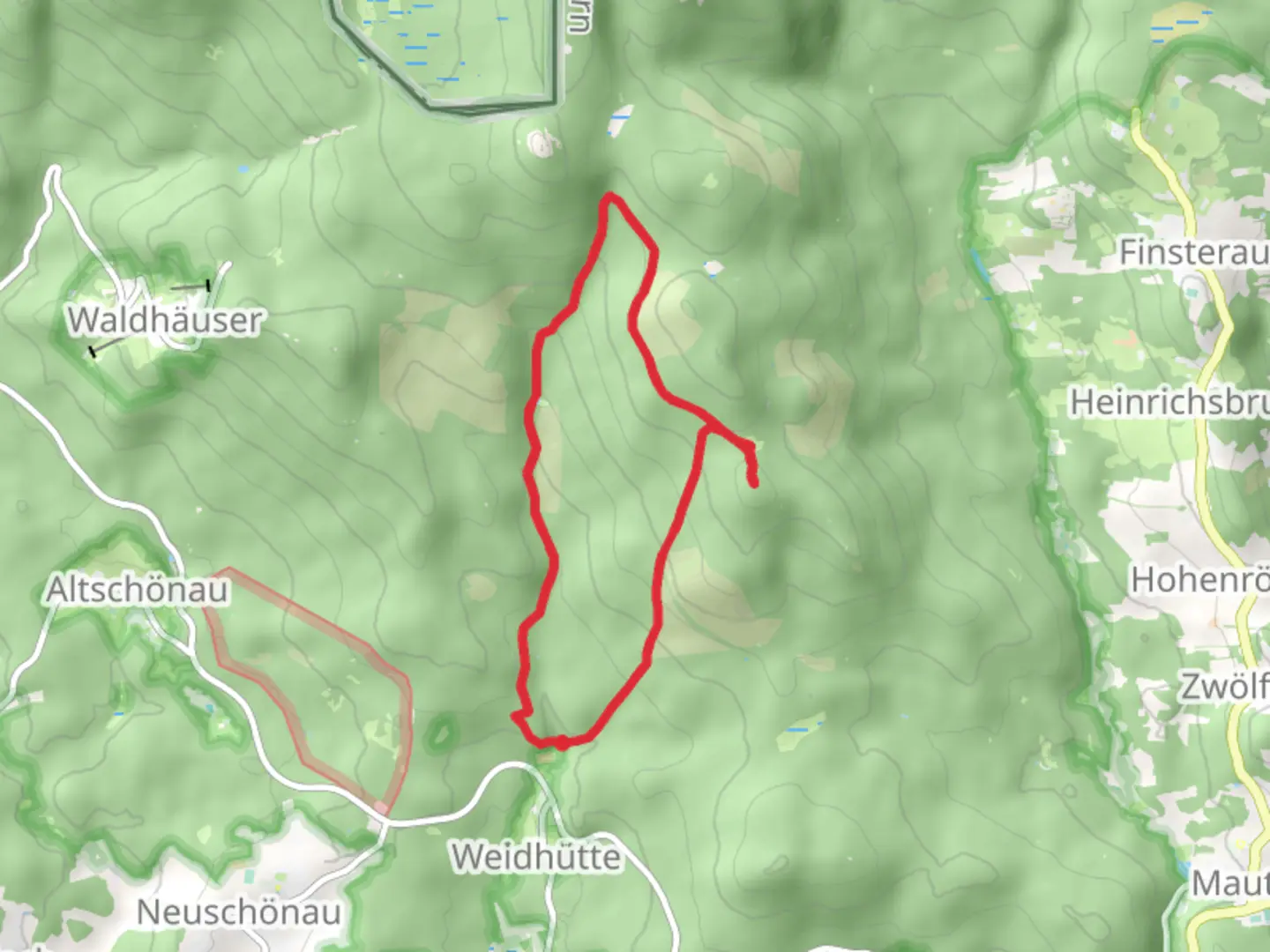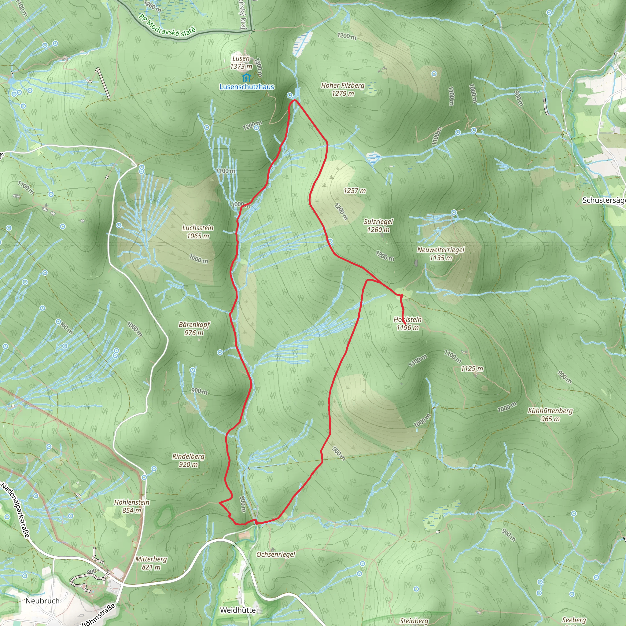
Hohlstein via Sagwasserstraße and Alte Tummelplatzstraße
Download
Preview
Add to list
More
11.8 km
~3 hrs 10 min
489 m
Loop
“Explore the Bavarian Forest on a 12 km loop with historical landmarks and diverse wildlife.”
Starting near Freyung-Grafenau in Germany, this 12 km (approximately 7.5 miles) loop trail offers a moderate challenge with an elevation gain of around 400 meters (about 1,312 feet). The trailhead is conveniently accessible by car or public transport. If you're driving, you can park near the town of Freyung. For those using public transport, the nearest significant landmark is the Freyung train station, from where you can take a local bus or taxi to the trailhead.### Trail OverviewThe trail begins on Sagwasserstraße, a scenic route that quickly immerses you in the lush Bavarian Forest. The initial stretch is relatively gentle, allowing you to warm up as you traverse through dense woodlands. Keep an eye out for local wildlife such as deer and various bird species that are commonly spotted in this area.### Key Landmarks and Points of Interest#### Sagwasserstraße to Alte TummelplatzstraßeAfter approximately 3 km (1.9 miles) on Sagwasserstraße, you'll transition onto Alte Tummelplatzstraße. This section of the trail is known for its historical significance, as it was once a route used by hunters and foresters. The path here becomes slightly steeper, contributing to the overall elevation gain. You'll pass by ancient stone markers and remnants of old forestry operations, offering a glimpse into the region's past.#### Hohlstein SummitAround the 6 km (3.7 miles) mark, you'll reach the Hohlstein summit. This is the highest point of the trail and offers panoramic views of the surrounding Bavarian Forest. The summit is an excellent spot for a break, allowing you to take in the breathtaking scenery. On clear days, you can see as far as the Czech border.### Flora and FaunaThe trail is rich in biodiversity. The lower sections are dominated by mixed forests of beech, oak, and spruce. As you ascend, you'll notice a shift to more coniferous trees. The forest floor is often carpeted with ferns and mosses, adding to the trail's enchanting atmosphere. Wildlife enthusiasts should keep their cameras ready for sightings of red foxes, wild boars, and a variety of bird species, including woodpeckers and owls.### Navigation and SafetyGiven the moderate difficulty of the trail, it's advisable to use a reliable navigation tool like HiiKER to ensure you stay on course. The trail is well-marked, but having a digital map can be invaluable, especially in areas where the path may be less distinct.### Return LoopThe descent begins after the Hohlstein summit, looping back towards Freyung-Grafenau. This section is less steep but can be slippery, especially after rain, so good hiking boots with proper grip are recommended. The trail meanders through more open areas, offering different perspectives of the landscape you traversed earlier.### Practical Information- Distance: 12 km (7.5 miles) - Elevation Gain: 400 meters (1,312 feet) - Difficulty: Medium - Trail Type: Loop - Nearest Town: Freyung-GrafenauWhether you're a seasoned hiker or someone looking to explore the natural beauty and historical richness of the Bavarian Forest, this trail offers a rewarding experience.
What to expect?
Activity types
Comments and Reviews
User comments, reviews and discussions about the Hohlstein via Sagwasserstraße and Alte Tummelplatzstraße, Germany.
4.33
average rating out of 5
6 rating(s)
