Download
Preview
Add to list
More
8.1 km
~2 hrs 18 min
406 m
Loop
“Embark on an 8 km loop near Freyung-Grafenau for stunning rock formations, diverse wildlife, and historical intrigue.”
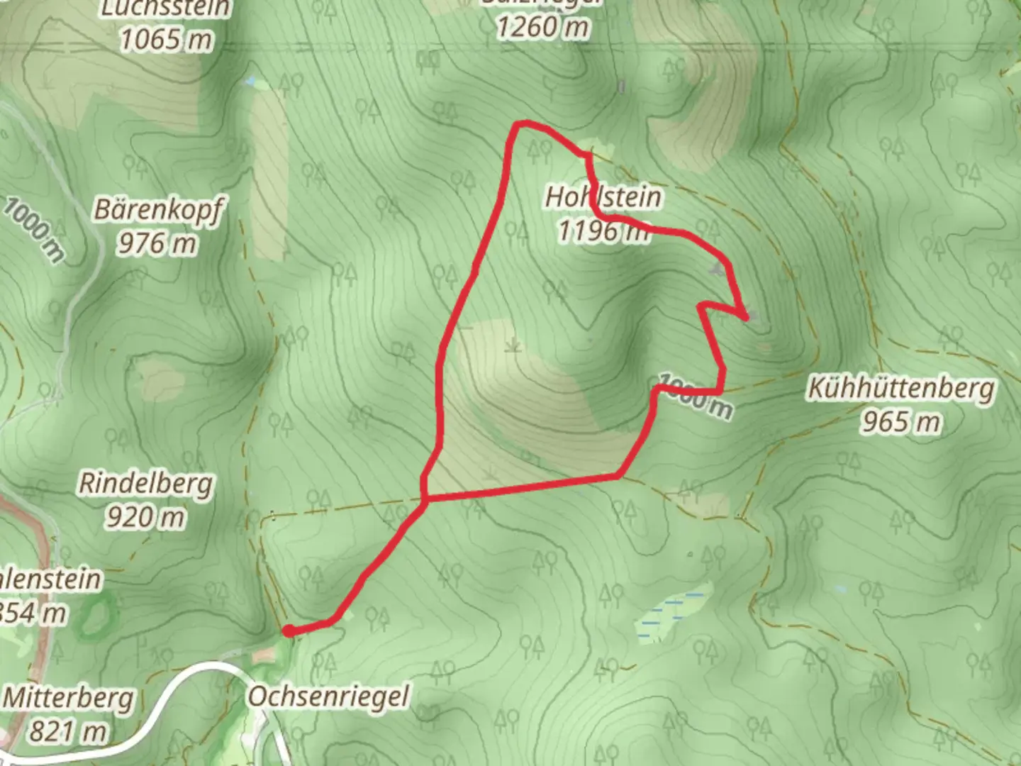
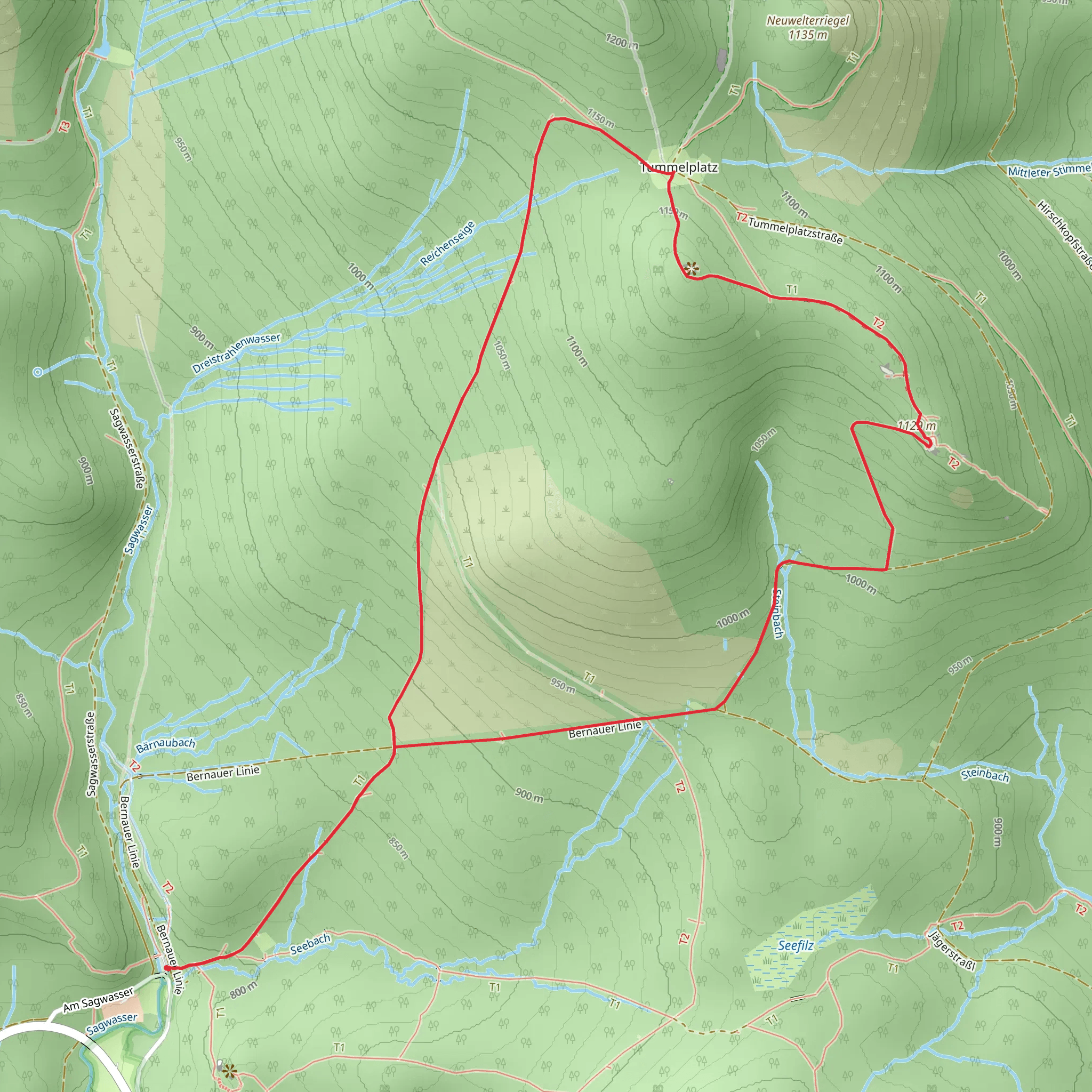
Starting your adventure near Freyung-Grafenau, Germany, the Großalmeyerschloß and Kleinalmeyerschloß Loop via Arnika is a captivating 8 km (5 miles) loop trail with an elevation gain of approximately 400 meters (1,312 feet). This medium-difficulty hike offers a blend of natural beauty, historical landmarks, and diverse wildlife, making it a rewarding experience for outdoor enthusiasts.
Getting There To reach the trailhead, you can either drive or use public transportation. If driving, set your GPS to Freyung-Grafenau, and look for parking near the trailhead. For those using public transport, take a train to Freyung station and then a local bus towards Grafenau. The nearest significant landmark to the trailhead is the Freyung Castle, a historical site worth visiting before or after your hike.
Trail Overview The trail begins with a gentle ascent through a dense forest, where you'll be surrounded by towering trees and the soothing sounds of nature. As you progress, the path becomes steeper, leading you to the first significant landmark, Großalmeyerschloß. This ancient rock formation offers stunning views of the surrounding landscape and is an excellent spot for a short break.
Key Landmarks and Nature Continuing along the loop, you'll encounter a variety of flora and fauna. The area is home to several species of birds, deer, and small mammals. Keep an eye out for the vibrant Arnika flowers, especially in the spring and summer months. These bright yellow blooms add a splash of color to the trail and are a highlight for many hikers.
At approximately the halfway point, you'll reach Kleinalmeyerschloß, another impressive rock formation. This site is not only a natural wonder but also holds historical significance. It is believed to have been a lookout point during medieval times, offering strategic views of the surrounding valleys.
Elevation and Terrain The trail features a mix of terrains, including rocky paths, forested areas, and open meadows. The elevation gain of 400 meters (1,312 feet) is spread out over the 8 km (5 miles), making it a manageable climb for most hikers. However, be prepared for some steep sections, particularly as you approach the rock formations.
Navigation and Safety For navigation, it's highly recommended to use the HiiKER app, which provides detailed maps and real-time updates. The trail is well-marked, but having a reliable navigation tool will ensure you stay on track and can fully enjoy your hike without any worries.
Wildlife and Conservation The region is part of a protected area, so it's essential to follow Leave No Trace principles. This means packing out all your trash, staying on designated trails, and respecting wildlife. The diverse ecosystem here is fragile, and your efforts help preserve it for future generations.
Final Stretch As you make your way back to the trailhead, the path descends gradually, offering a relaxing end to your hike. The final stretch takes you through more forested areas, where you might spot some of the local wildlife if you're quiet and observant.
This loop trail near Freyung-Grafenau is a perfect blend of natural beauty, historical intrigue, and moderate physical challenge. Whether you're a seasoned hiker or a nature lover looking for a day out, this trail offers something for everyone.
What to expect?
Activity types
Comments and Reviews
User comments, reviews and discussions about the Großalmeyerschloß and Kleinalmeyerschloß Loop via Arnika, Germany.
4.0
average rating out of 5
1 rating(s)
