Download
Preview
Add to list
More
8.3 km
~2 hrs 0 min
205 m
Loop
“Explore the Fuchs Loop for stunning views, historical ruins, and abundant wildlife in a medium-difficulty hike.”
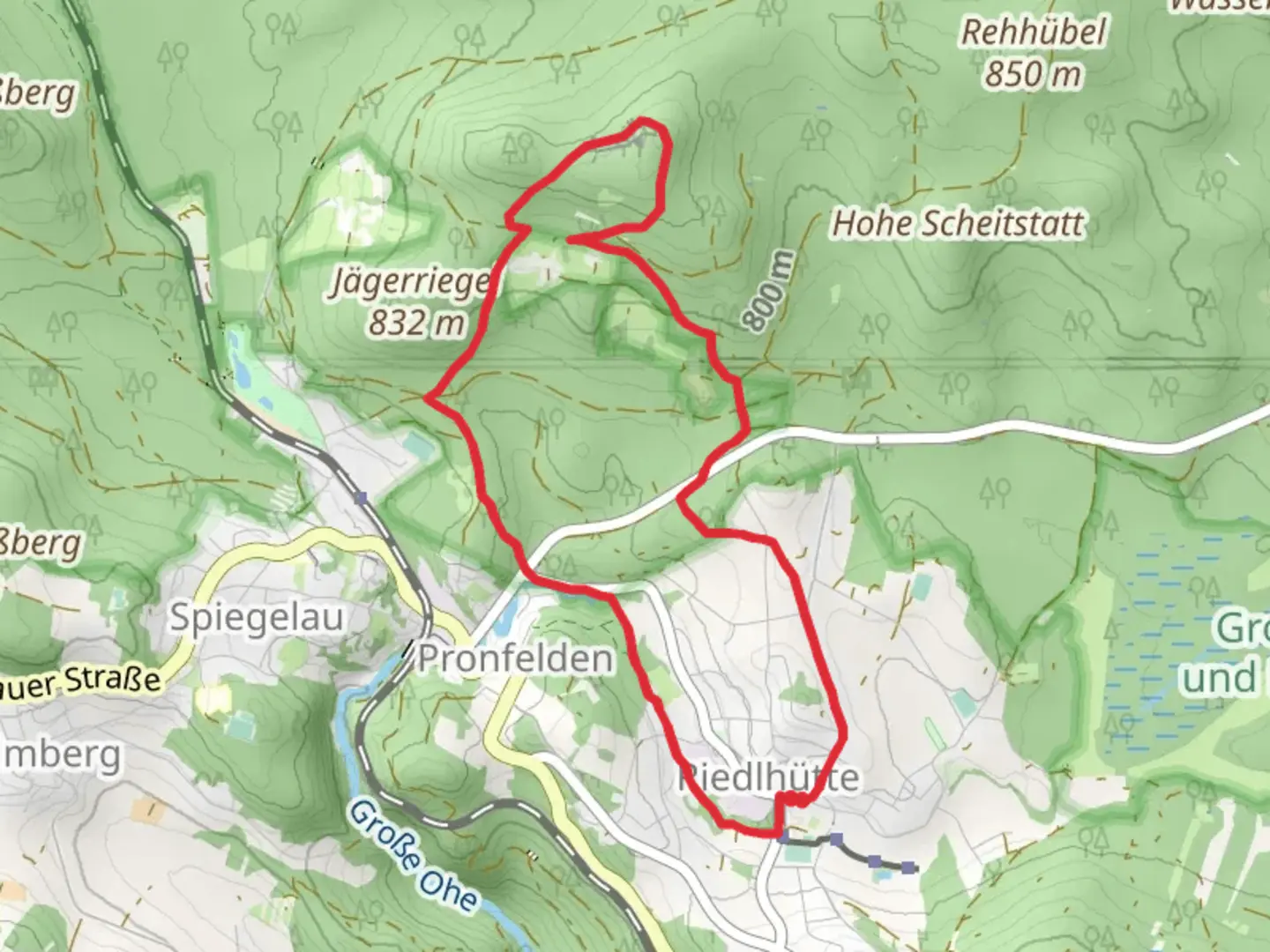
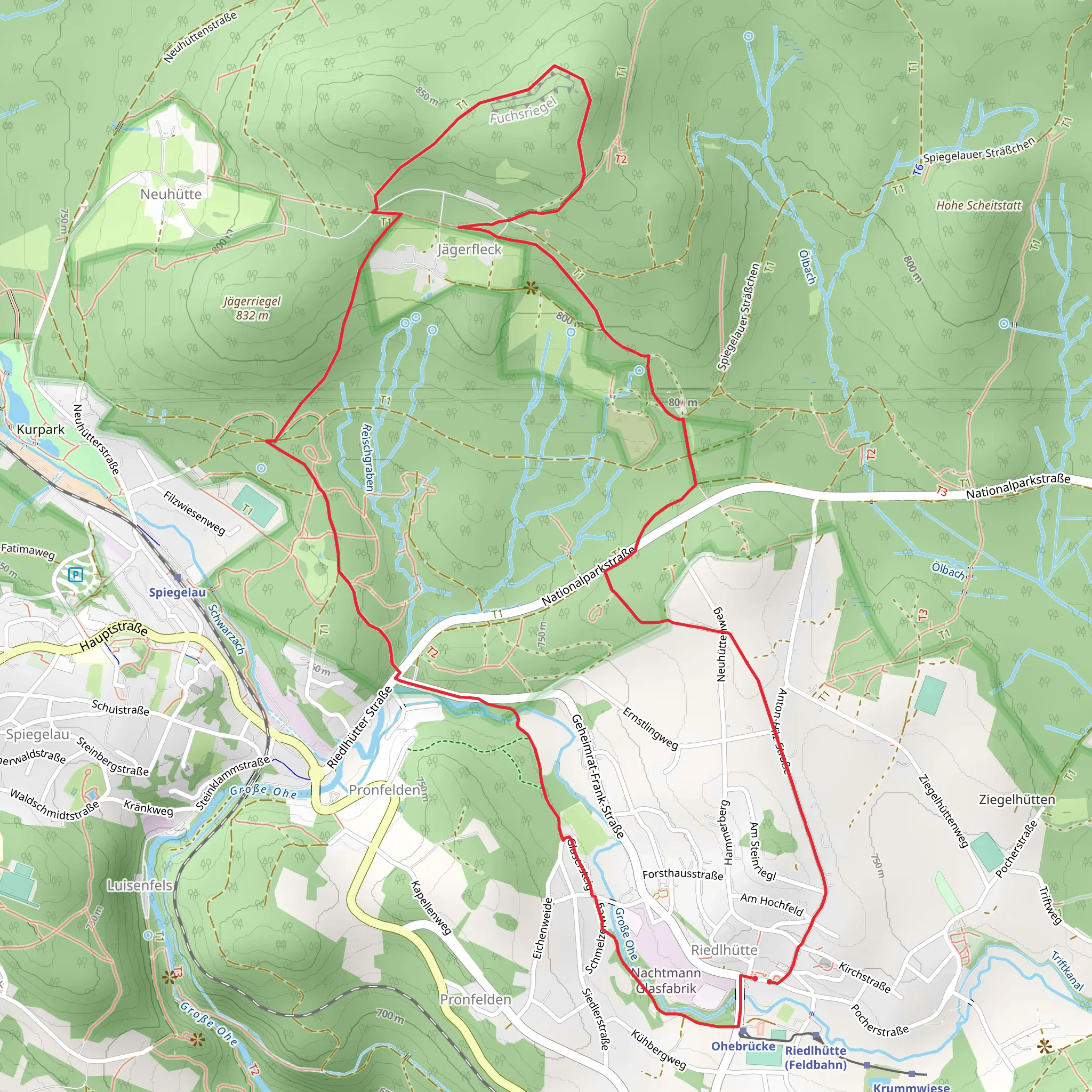
Starting your hike near Freyung-Grafenau, Germany, the Fuchs Loop is an 8 km (approximately 5 miles) trail with an elevation gain of around 200 meters (656 feet). This medium-difficulty loop trail offers a delightful mix of natural beauty, historical landmarks, and opportunities to spot local wildlife.### Getting There To reach the trailhead, you can either drive or use public transport. If driving, set your GPS to Freyung-Grafenau, and look for parking near the town center. For those using public transport, take a train to Freyung station and then a local bus to Grafenau. The trailhead is conveniently located near the town, making it easily accessible.### Trail Overview The Fuchs Loop begins with a gentle ascent through a mixed forest, where you'll be surrounded by towering pines and deciduous trees. The first kilometer (0.6 miles) is relatively easy, allowing you to warm up and enjoy the serene environment. As you continue, the trail becomes steeper, gaining about 100 meters (328 feet) in elevation over the next 2 kilometers (1.2 miles).### Historical Significance Around the 3 km (1.8 miles) mark, you'll come across the ruins of an old watchtower, a remnant from the medieval period when this region was a strategic point for local rulers. Take a moment to explore the ruins and imagine the historical significance of this site.### Nature and Wildlife As you proceed, the trail levels out and meanders through a lush meadow. This area is a haven for birdwatchers, with species such as the European robin and the black woodpecker frequently spotted. Keep an eye out for deer and other small mammals that inhabit the forest edges.### Scenic Views At approximately 5 km (3.1 miles), you'll reach a scenic overlook offering panoramic views of the Bavarian Forest. This is an excellent spot for a break and some photography. The elevation gain here is about 50 meters (164 feet), making it a moderate climb but well worth the effort for the stunning vistas.### Navigational Tips The trail is well-marked, but it's always a good idea to have a reliable navigation tool. Use HiiKER to download the trail map and keep track of your progress. This will ensure you stay on the right path and can easily find your way back to the trailhead.### Final Stretch The last 3 km (1.8 miles) of the loop take you through a dense forest, gradually descending back to the starting point. This section is relatively easy, allowing you to cool down and reflect on the hike. The total elevation loss is about 100 meters (328 feet), making the descent gentle and enjoyable.### Practical Information Wear sturdy hiking boots, as the trail can be uneven in places. Bring water and snacks, especially if you plan to take breaks at the scenic overlook or the historical ruins. The trail is open year-round, but the best times to hike are in the spring and fall when the weather is mild and the foliage is at its most vibrant.By following these guidelines and being prepared, you'll have a memorable and enjoyable hike on the Fuchs Loop.
Comments and Reviews
User comments, reviews and discussions about the Fuchs Loop, Germany.
4.5
average rating out of 5
2 rating(s)
