Download
Preview
Add to list
More
13.0 km
~3 hrs 36 min
602 m
Loop
“Explore the Absbachhöhe Loop for a captivating 13 km hike blending natural beauty, history, and diverse wildlife.”
Starting near Freudenstadt, Germany, the Absbachhöhe, Glaswaldsee, Lettstädter Hohe, and Holzwälder Höhe Loop is a captivating 13 km (8 miles) loop trail with an elevation gain of approximately 600 meters (1,969 feet). This medium-difficulty trail offers a blend of natural beauty, historical significance, and diverse wildlife, making it a rewarding experience for hikers.
Getting There Freudenstadt is well-connected by public transport and car. If you're traveling by train, Freudenstadt Hauptbahnhof is the nearest major station. From there, local buses can take you closer to the trailhead. For those driving, ample parking is available near the trailhead, which is conveniently located near the town center.
Trail Overview The trail begins with a gentle ascent through dense forests, offering a serene start to your hike. As you climb towards Absbachhöhe, you'll gain about 200 meters (656 feet) in elevation over the first 3 km (1.9 miles). The forest is home to a variety of wildlife, including deer and numerous bird species, so keep your eyes peeled.
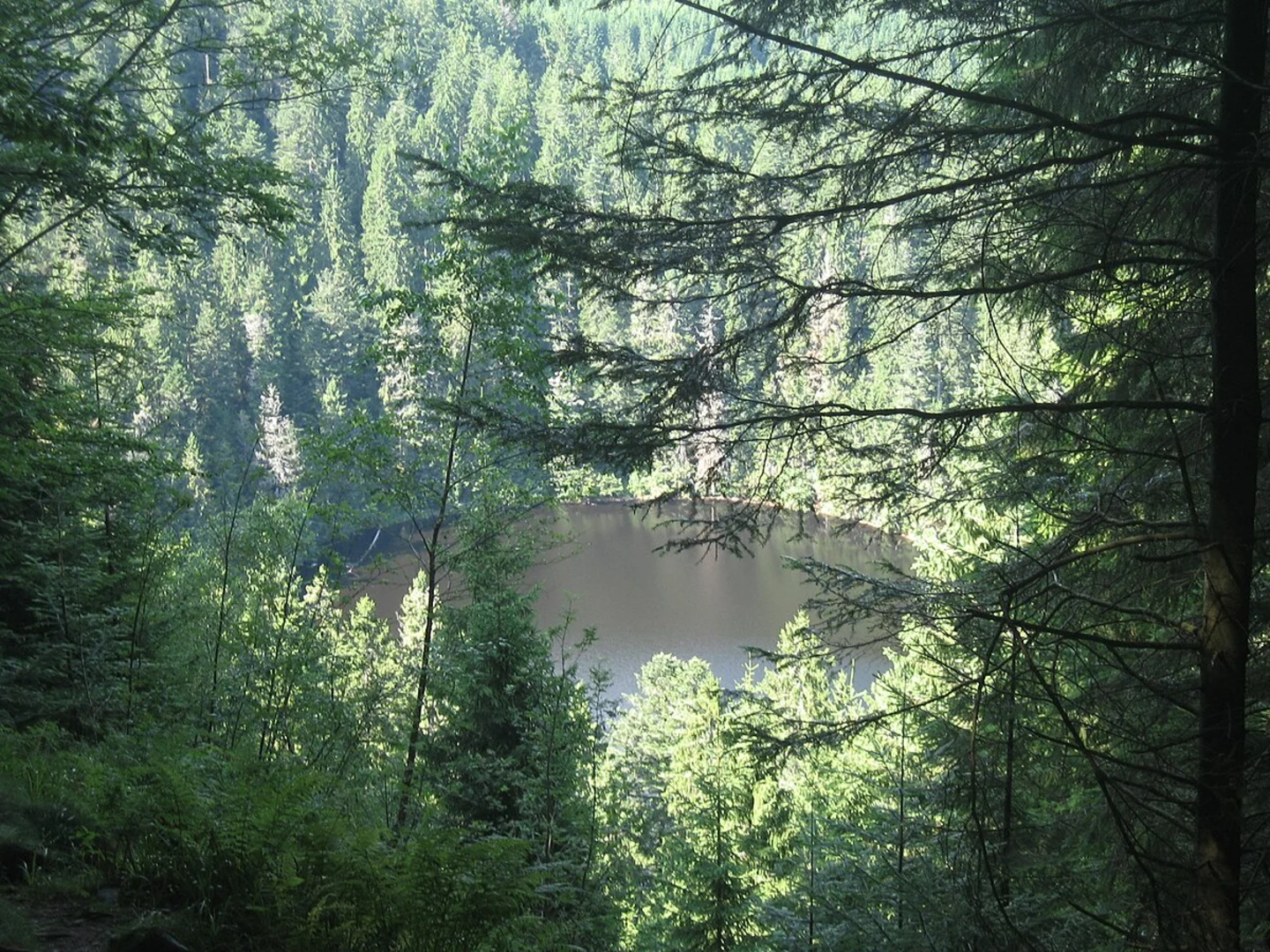
Glaswaldsee Around the 5 km (3.1 miles) mark, you'll reach Glaswaldsee, a picturesque lake surrounded by lush greenery. This is an excellent spot for a short break, allowing you to take in the tranquil scenery. The lake itself has historical significance, having been formed during the last Ice Age. The area around Glaswaldsee is also known for its unique flora, including rare orchids and mosses.
Lettstädter Hohe Continuing on, the trail ascends towards Lettstädter Hohe, adding another 150 meters (492 feet) in elevation over the next 2 km (1.2 miles). This section of the trail offers panoramic views of the Black Forest, making it a highlight of the hike. The summit provides a perfect vantage point to appreciate the vast expanse of forested hills and valleys.
Holzwälder Höhe The final significant ascent takes you to Holzwälder Höhe, where you'll gain the remaining 250 meters (820 feet) in elevation over 3 km (1.9 miles). This part of the trail is more rugged, with rocky outcrops and steep sections. However, the effort is well worth it, as the summit offers breathtaking views and a sense of accomplishment.
Descent and Return The descent begins after Holzwälder Höhe, leading you back through dense forests and meadows. This 3 km (1.9 miles) stretch is relatively gentle, allowing you to enjoy the natural surroundings at a leisurely pace. The trail eventually loops back to the starting point near Freudenstadt.
Navigation and Safety Given the trail's moderate difficulty and varying terrain, it's advisable to use a reliable navigation tool like HiiKER to stay on track. The trail is well-marked, but having a digital map can provide additional peace of mind. Always carry sufficient water, snacks, and a first-aid kit. Weather in the Black Forest can be unpredictable, so dress in layers and be prepared for sudden changes.
Historical Significance The region around Freudenstadt has a rich history, dating back to its founding in the early 17th century. The town itself was designed by Heinrich Schickhardt, a renowned architect, and has a unique layout centered around the largest market square in Germany. As you hike, you'll pass through areas that have been inhabited for centuries, adding a layer of historical depth to your journey.
This trail offers a perfect blend of natural beauty, challenging terrain, and historical intrigue, making it a must-visit for any hiking enthusiast.
What to expect?
Activity types
Comments and Reviews
User comments, reviews and discussions about the Absbachhöhe, Glaswaldsee, Lettstädter Hohe and Holzwälder Höhe Loop, Germany.
4.0
average rating out of 5
1 rating(s)

