Download
Preview
Add to list
More
11.9 km
~3 hrs 41 min
786 m
Out and Back
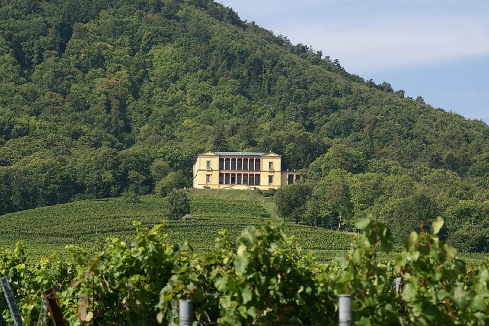
“An invigorating 12km hike through dense forests, historical ruins, and panoramic views, perfect for nature enthusiasts.”
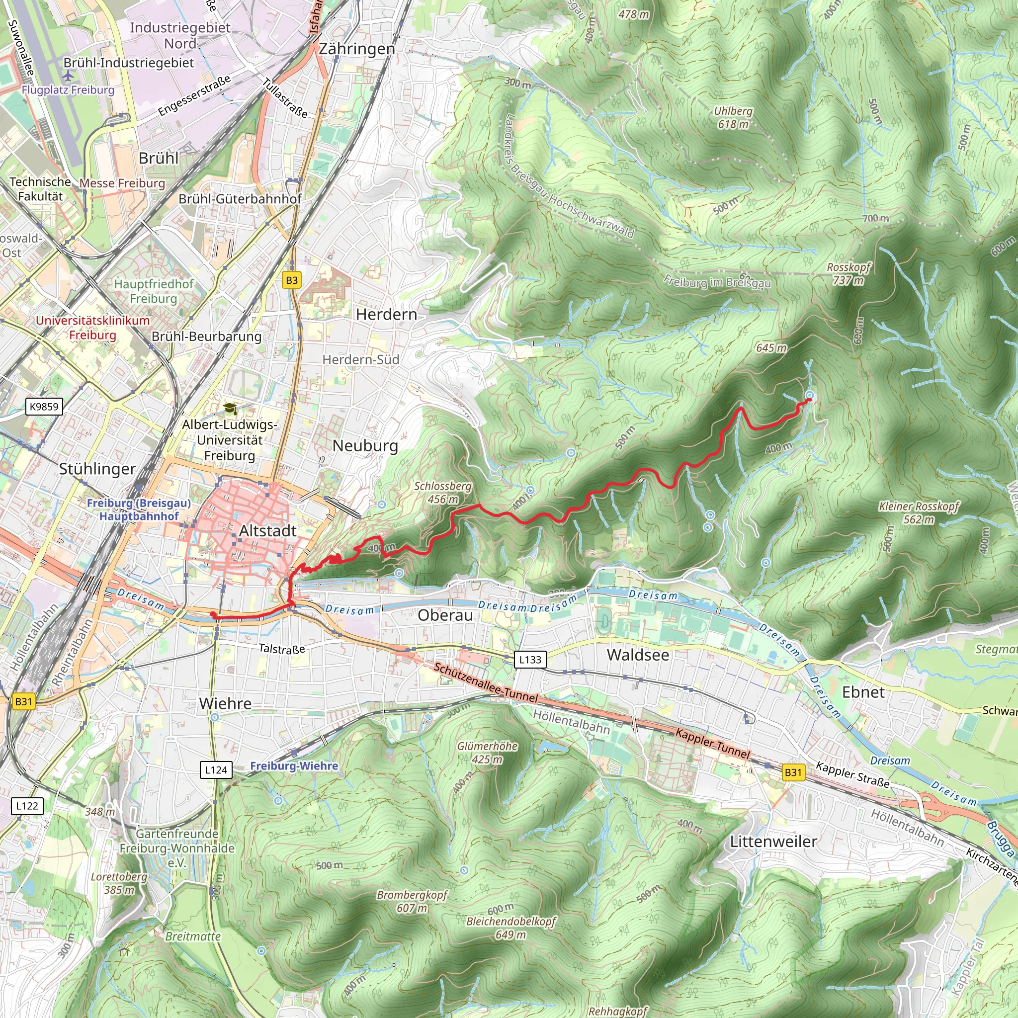
Starting near Freiburg im Breisgau, Germany, the St Ottilien Walk via Burghald is an invigorating out-and-back trail that stretches approximately 12 kilometers (7.5 miles) with an elevation gain of around 700 meters (2,300 feet). This medium-difficulty hike offers a blend of natural beauty, historical landmarks, and diverse wildlife, making it a rewarding experience for both seasoned hikers and enthusiastic beginners.
Getting There To reach the trailhead, you can either drive or use public transportation. If you're driving, head towards the village of St. Ottilien, which is easily accessible from Freiburg im Breisgau. For those using public transport, take a train to Freiburg Hauptbahnhof (Freiburg Central Station) and then a local bus towards St. Ottilien. The nearest significant landmark to the trailhead is the St. Ottilien Chapel, a serene and picturesque starting point for your hike.
Trail Overview The trail begins near the St. Ottilien Chapel, a small yet charming chapel that dates back to the 14th century. As you start your ascent, you'll be greeted by dense forests of beech and oak trees, providing ample shade and a cool environment, especially during the warmer months. The first 2 kilometers (1.2 miles) are relatively gentle, with an elevation gain of about 100 meters (328 feet), making it a good warm-up for the more challenging sections ahead.
Key Landmarks and Sections #### Burghald Ruins Around the 4-kilometer (2.5-mile) mark, you'll come across the Burghald ruins. These remnants of a medieval castle offer a glimpse into the region's rich history. The castle, originally built in the 12th century, was a strategic fortification during various historical conflicts. Take a moment to explore the ruins and enjoy the panoramic views of the surrounding valleys.
#### Wildlife and Flora As you continue your hike, keep an eye out for the local wildlife. The area is home to a variety of bird species, including woodpeckers and owls. If you're lucky, you might even spot a deer or a fox. The trail is also adorned with wildflowers, especially in the spring and summer months, adding a splash of color to your journey.
The Ascent The next section of the trail is the most challenging, with a steep ascent of about 400 meters (1,312 feet) over the next 3 kilometers (1.9 miles). This part of the hike requires a good level of fitness and sturdy hiking boots. The path can be rocky and uneven, so take your time and use trekking poles if necessary.
Reaching the Summit Upon reaching the summit, you'll be rewarded with breathtaking views of the Black Forest and the Rhine Valley. This is an excellent spot to take a break, have a snack, and soak in the natural beauty. The summit area is relatively open, providing unobstructed views and a sense of accomplishment.
Descent and Return The descent follows the same path back to the trailhead. While descending, be cautious of loose rocks and steep sections. The return journey offers a different perspective of the landscape, and you might notice details you missed on the way up.
Navigation For navigation, it's highly recommended to use the HiiKER app, which provides detailed maps and real-time updates to ensure you stay on track. The trail is well-marked, but having a reliable navigation tool can enhance your hiking experience and provide peace of mind.
This hike is a perfect blend of natural beauty, historical intrigue, and physical challenge, making it a must-do for anyone visiting the Freiburg im Breisgau area.
What to expect?
Activity types
Comments and Reviews
User comments, reviews and discussions about the St Ottilien Walk via Burghald, Germany.
4.67
average rating out of 5
3 rating(s)

