Nordwestzentrum to Hohemark via Taunusklub Route and Elisabethpfad
Download
Preview
Add to list
More
13.2 km
~3 hrs 3 min
245 m
Point-to-Point
“Experience urban charm and natural beauty on this 13 km hike from Frankfurt's Nordwestzentrum to Hohemark.”
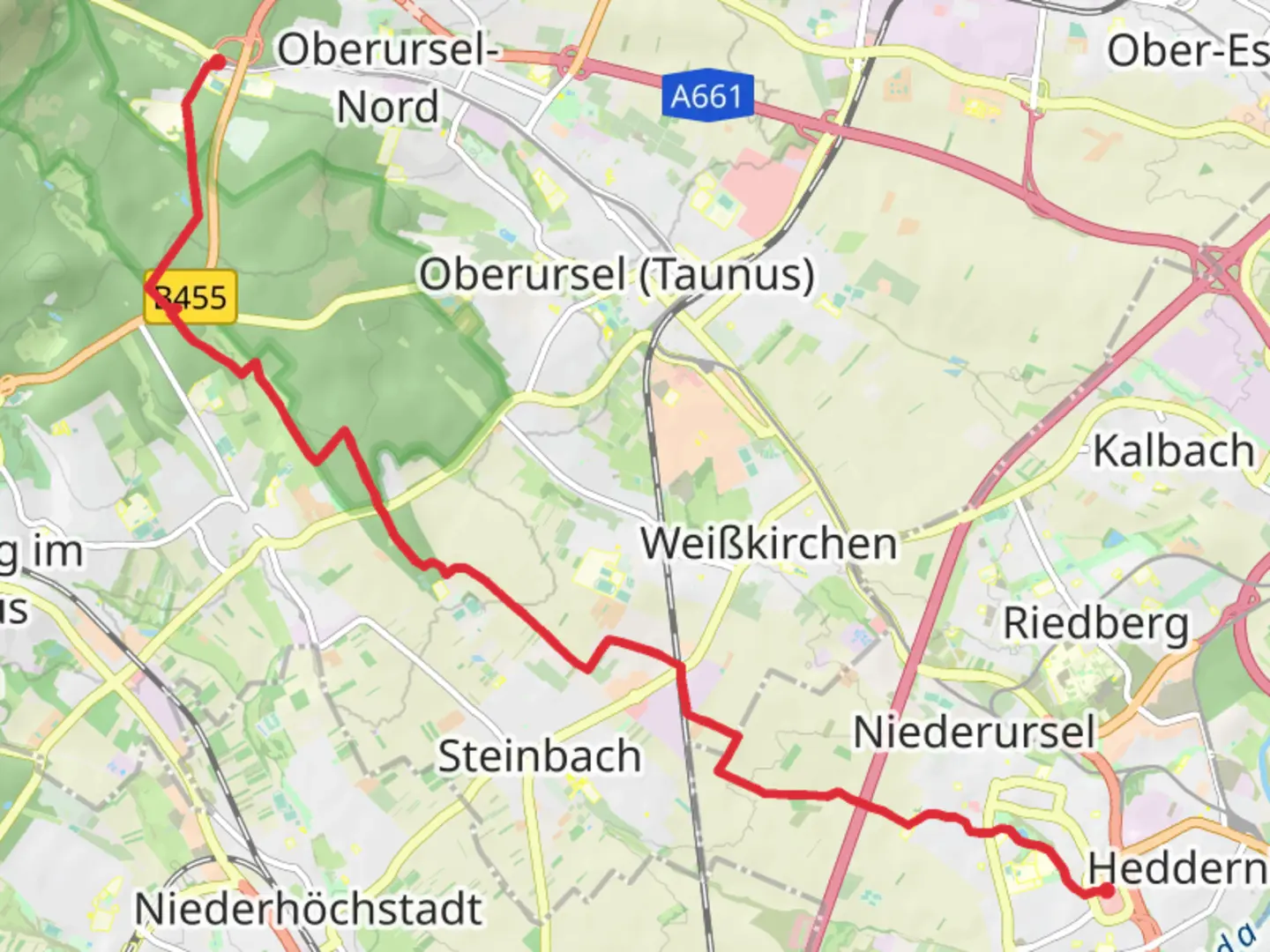
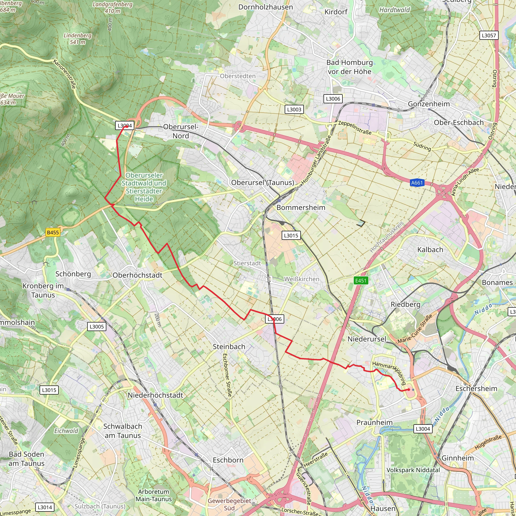
Starting near Frankfurt, Germany, this 13 km (approximately 8 miles) point-to-point trail from Nordwestzentrum to Hohemark via the Taunusklub Route and Elisabethpfad offers a moderate hiking experience with an elevation gain of around 200 meters (656 feet).
Getting There To reach the trailhead, you can take public transport from Frankfurt. The Nordwestzentrum is well-connected by the U1 subway line, which takes you directly to the starting point. If you prefer to drive, there are parking facilities available at Nordwestzentrum.
Trail Overview The trail begins at Nordwestzentrum, a bustling shopping center in Frankfurt. As you leave the urban environment, you will quickly find yourself immersed in the natural beauty of the Taunus region. The initial part of the hike is relatively flat, making it a good warm-up for the more challenging sections ahead.
Key Landmarks and Sections - **Rödelheim**: About 3 km (1.9 miles) into the hike, you will pass through Rödelheim, a district known for its historical significance and charming architecture. This area offers a glimpse into the local culture and history, with several old buildings and churches worth noting. - **Nidda River**: Shortly after Rödelheim, the trail follows the scenic banks of the Nidda River. This section is particularly picturesque, with lush greenery and the gentle flow of the river providing a serene backdrop. Keep an eye out for local wildlife, including various bird species and small mammals.
- Taunusklub Route: Around the 6 km (3.7 miles) mark, you will join the Taunusklub Route. This part of the trail begins to ascend more noticeably, offering panoramic views of the surrounding countryside. The elevation gain here is gradual but steady, so pace yourself accordingly.
- Elisabethpfad: At approximately 9 km (5.6 miles), the trail intersects with the Elisabethpfad, a historic pilgrimage route dedicated to Saint Elizabeth of Hungary. This section is rich in history and spirituality, with several small chapels and religious markers along the way.
Flora and Fauna The Taunus region is known for its diverse flora and fauna. As you hike, you will encounter a variety of plant species, including oak, beech, and pine trees. The underbrush is often filled with wildflowers, especially in the spring and summer months. Wildlife sightings may include deer, foxes, and a variety of bird species, making this trail a delight for nature enthusiasts.
Final Stretch to Hohemark The last 4 km (2.5 miles) of the hike involve a more significant elevation gain as you approach Hohemark. This section can be more challenging, but the effort is rewarded with stunning views of the Taunus mountains. Hohemark itself is a popular destination for hikers and offers several amenities, including rest areas and information boards about the local history and geography.
Navigation For navigation, it is highly recommended to use the HiiKER app, which provides detailed maps and real-time updates to ensure you stay on the correct path. The trail is well-marked, but having a reliable navigation tool can enhance your hiking experience and provide peace of mind.
This trail offers a blend of urban and natural landscapes, historical landmarks, and moderate physical challenges, making it a rewarding experience for hikers of all levels.
Comments and Reviews
User comments, reviews and discussions about the Nordwestzentrum to Hohemark via Taunusklub Route and Elisabethpfad, Germany.
4.0
average rating out of 5
2 rating(s)
