Download
Preview
Add to list
More
9.9 km
~2 hrs 1 min
33 m
Loop
“Explore a 10 km loop near Erlangen blending natural beauty, historical intrigue, and moderate hiking challenges.”
Starting near Erlangen, Germany, this 10 km (6.2 miles) loop trail offers a delightful mix of natural beauty and historical intrigue. With an elevation gain of approximately 0 meters, it is accessible to a wide range of hikers, though it is rated as medium difficulty due to its length and varied terrain.
Getting There
To reach the trailhead, you can either drive or use public transport. If driving, head towards Erlangen and look for parking near the Main-Donau-Kanal. For those using public transport, take a train to Erlangen Hauptbahnhof (Erlangen Central Station). From there, you can catch a local bus or taxi to the trailhead, which is conveniently located near the canal.
Trail Overview
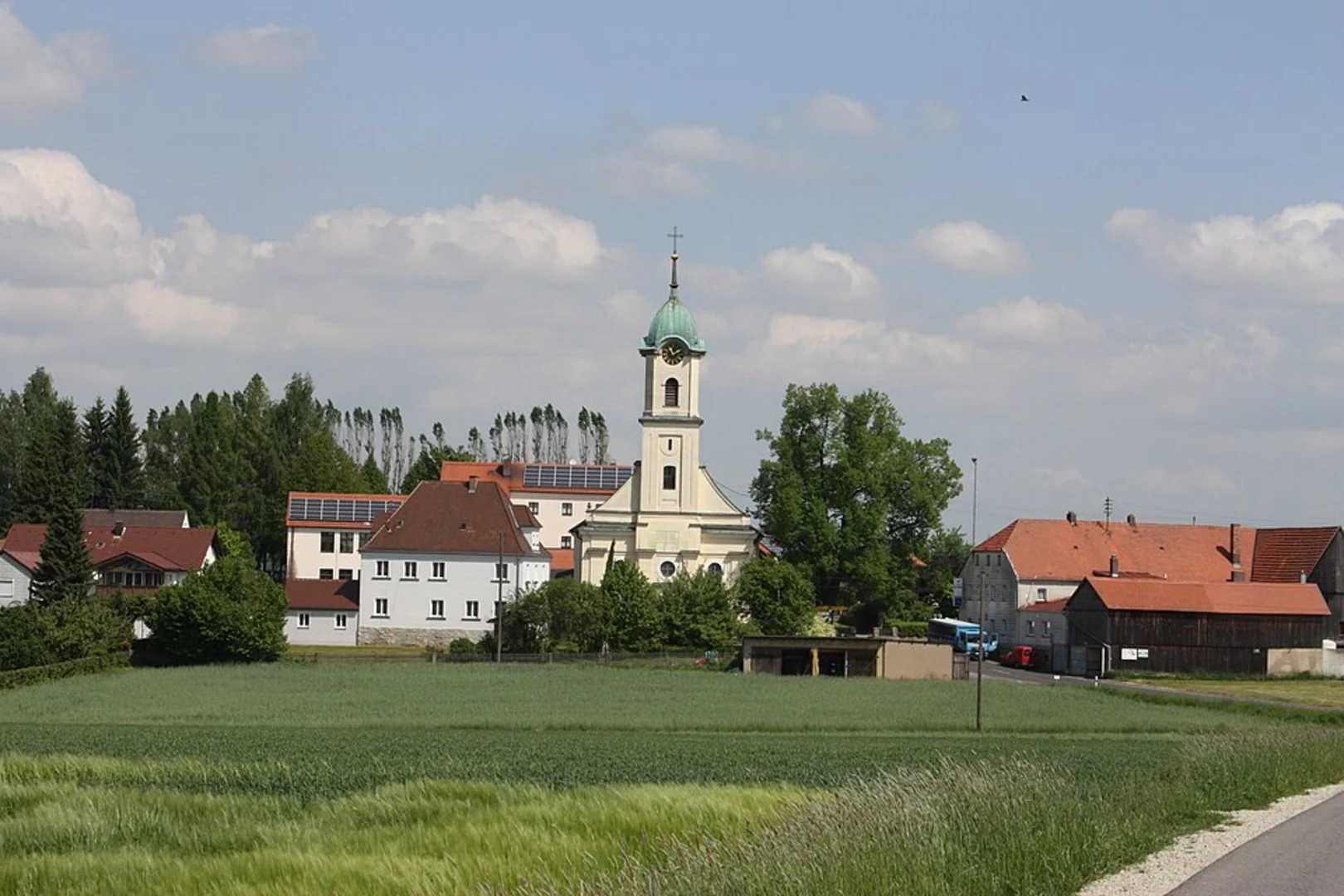
The trail begins near the Main-Donau-Kanal, a significant waterway that connects the Main and Danube rivers. This canal is not just a marvel of engineering but also a vital part of the region's history, facilitating trade and transportation for centuries.
Wurzelweg Section
The first part of the trail, known as Wurzelweg, takes you through a dense forest area. The path is well-marked but can be rooty and uneven in places, so sturdy hiking boots are recommended. As you walk, you'll be surrounded by tall trees and the sounds of local wildlife, including various bird species and small mammals. This section is approximately 3 km (1.9 miles) long.
Kohlweiherweg Section
After completing the Wurzelweg, you'll transition to the Kohlweiherweg section. This part of the trail is more open and features several small ponds and wetlands. The Kohlweiherweg is known for its rich biodiversity, including frogs, dragonflies, and a variety of plant species. This section is about 4 km (2.5 miles) long and offers several spots perfect for a short break or a picnic.
Main-Donau-Kanal Path
The final part of the loop brings you back along the Main-Donau-Kanal. This section is flat and easy to navigate, making it a relaxing end to your hike. You'll walk alongside the canal for approximately 3 km (1.9 miles), enjoying views of passing boats and the serene waterway. This part of the trail also offers historical markers and information boards that provide insights into the canal's construction and its role in the region's development.
Navigation and Safety
For navigation, it is highly recommended to use the HiiKER app, which provides detailed maps and real-time updates. The trail is well-marked, but having a reliable navigation tool can enhance your hiking experience and ensure you stay on track.
Points of Interest
- Historical Significance: The Main-Donau-Kanal is a key historical feature, having been completed in the 20th century to connect the North Sea to the Black Sea via the Rhine, Main, and Danube rivers.
- Natural Beauty: The Wurzelweg and Kohlweiherweg sections offer a diverse range of flora and fauna, making this trail a haven for nature enthusiasts.
- Rest Areas: There are several benches and picnic spots along the Kohlweiherweg section, perfect for taking a break and enjoying the surroundings.
Wildlife and Flora
The trail is home to a variety of wildlife, including deer, foxes, and numerous bird species. The flora is equally diverse, with everything from towering oaks and pines in the Wurzelweg section to aquatic plants and wildflowers near the Kohlweiherweg ponds.
This 10 km loop near Erlangen offers a balanced mix of natural beauty, historical significance, and moderate physical challenge, making it a rewarding hike for those looking to explore the region.

What to expect?
Activity types
Comments and Reviews
User comments, reviews and discussions about the Main Donau Kanal via Wurzelweg and Kohlweiherweg, Germany.
5.0
average rating out of 5
2 rating(s)