Download
Preview
Add to list
More
6.7 km
~1 hrs 32 min
115 m
Loop
“Immerse yourself in Erfurt’s enchanting Steigerwald trail, blending natural beauty, historical intrigue, and moderate challenge.”
Starting near the charming city of Erfurt in Germany, the Erfurter Steigerwald trail offers a delightful 7 km (4.35 miles) loop with an elevation gain of around 100 meters (328 feet). This medium-difficulty trail is perfect for those looking to immerse themselves in nature while also enjoying a bit of a workout.
Getting There
To reach the trailhead, you can either drive or use public transport. If you're driving, head towards the Steigerwaldstadion, a well-known landmark in Erfurt. There is ample parking available nearby. For those using public transport, take a tram or bus to the Steigerwaldstadion stop. From there, it's a short walk to the trailhead.
Trail Navigation
The trail is well-marked, but it's always a good idea to have a reliable navigation tool. HiiKER is an excellent app for this purpose, providing detailed maps and real-time updates to ensure you stay on track.
What to Expect
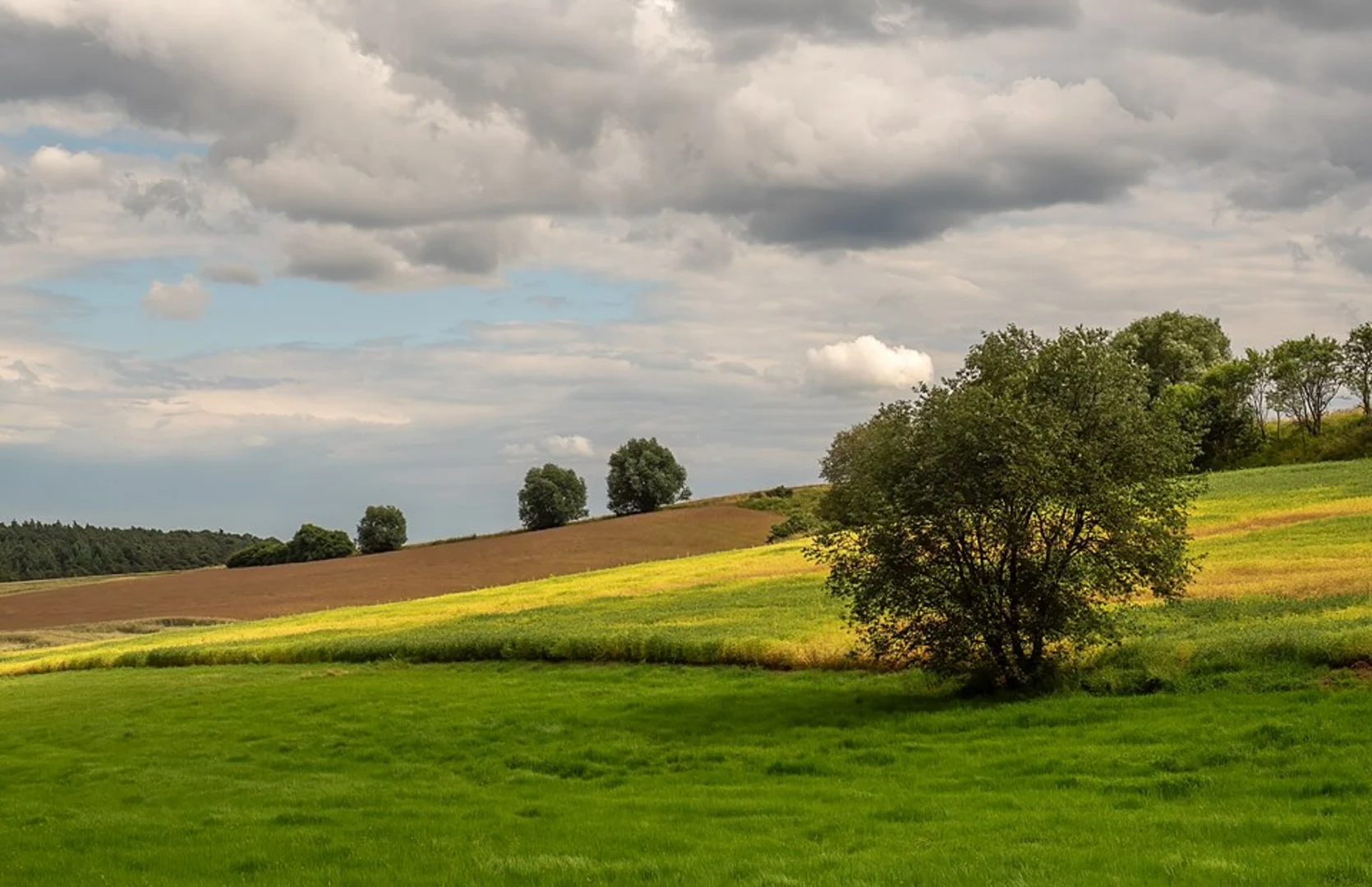
The trail begins with a gentle ascent through a mixed forest of beech, oak, and pine trees. The first kilometer (0.62 miles) is relatively easy, allowing you to warm up and enjoy the serene surroundings. As you continue, you'll encounter a series of small hills, each offering a bit more of a challenge but also rewarding you with beautiful views of the surrounding landscape.
Flora and Fauna
The Erfurter Steigerwald is home to a diverse range of plant and animal life. Keep an eye out for wildflowers such as wood anemones and bluebells in the spring. Birdwatchers will be delighted by the variety of species, including woodpeckers, nuthatches, and even the occasional hawk. Deer and foxes are also commonly spotted, so keep your camera ready.
Historical Significance
This region has a rich history dating back to medieval times. As you hike, you'll come across several historical landmarks, including old stone walls and remnants of ancient settlements. One particularly interesting site is the Bismarckturm, a tower built in honor of Otto von Bismarck. Located about 3 km (1.86 miles) into the hike, this tower offers panoramic views of the Thuringian Basin and is a great spot for a rest and some photos.
Midpoint and Elevation
Around the 4 km (2.48 miles) mark, you'll reach the highest point of the trail, approximately 100 meters (328 feet) above the starting elevation. This section offers some of the best views, so take a moment to enjoy the scenery. The descent is gradual, making for a pleasant and less strenuous return journey.
Final Stretch
The last 2 km (1.24 miles) of the trail are relatively flat and take you through a picturesque meadow before looping back into the forest. This section is particularly beautiful in the late afternoon when the sunlight filters through the trees, casting a golden glow on the path.
Practical Tips
- Wear sturdy hiking boots, as some sections can be muddy, especially after rain.
- Bring water and snacks, as there are no facilities along the trail.
- Check the weather forecast before you go; the trail can be slippery in wet conditions.
- Use HiiKER for navigation to ensure you stay on the correct path.
This trail offers a perfect blend of natural beauty, historical intrigue, and moderate physical challenge, making it a must-visit for any hiking enthusiast in the Erfurt area.

Comments and Reviews
User comments, reviews and discussions about the Erfurter Steigerwald, Germany.
4.0
average rating out of 5
1 rating(s)