Download
Preview
Add to list
More
6.1 km
~1 hrs 26 min
131 m
Loop
“Discover the Malmsheimer Weg and Hausener Weg Loop: a scenic 6 km trail rich in history and nature.”
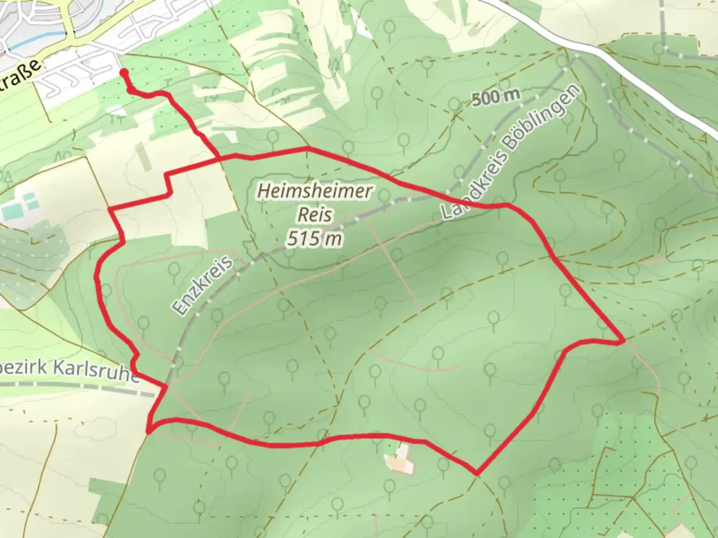
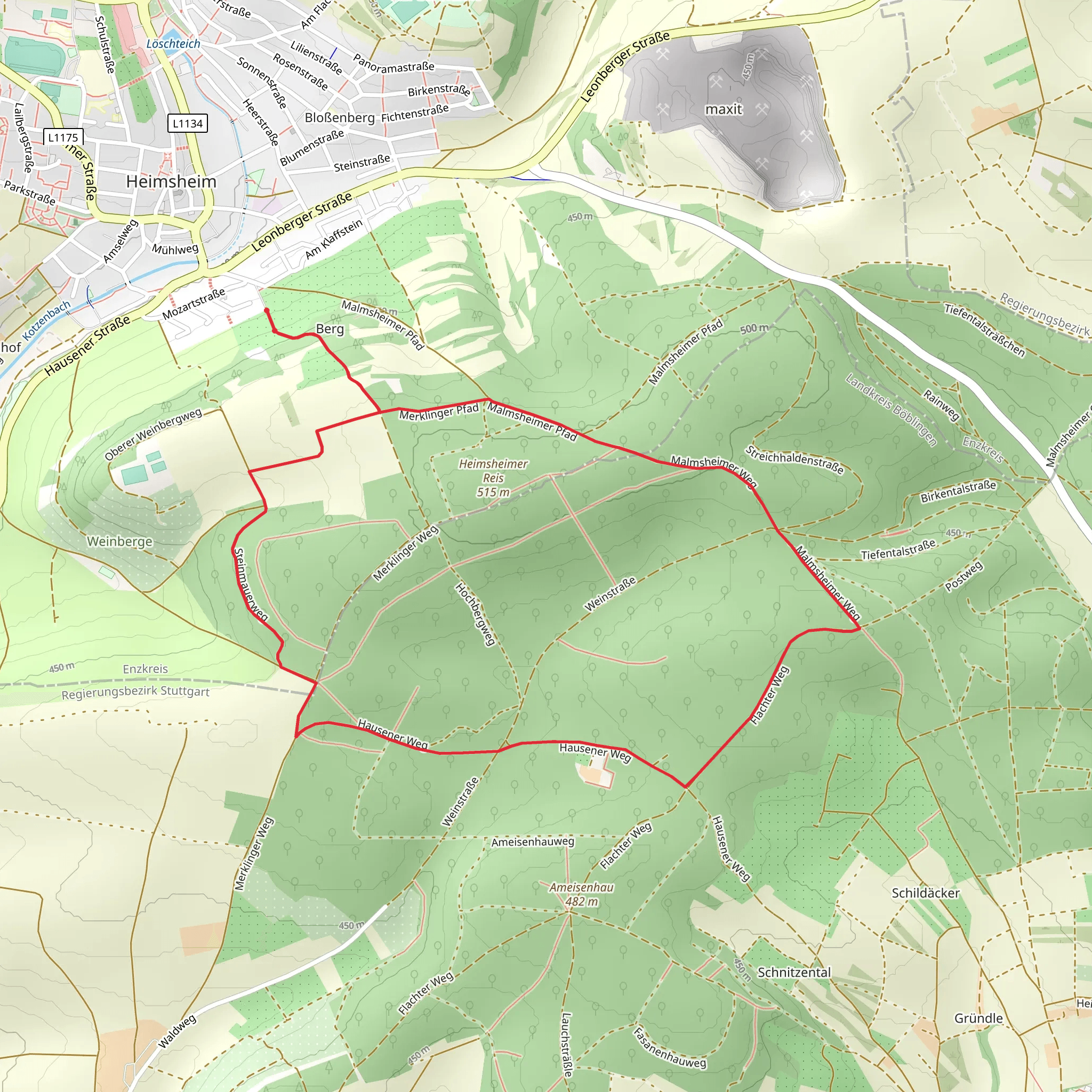
Starting near Enzkreis, Germany, the Malmsheimer Weg and Hausener Weg Loop is a delightful 6 km (3.7 miles) trail with an elevation gain of approximately 100 meters (328 feet). This loop trail is rated as medium difficulty, making it suitable for moderately experienced hikers.### Getting There To reach the trailhead, you can drive or use public transport. If driving, set your GPS to Enzkreis, Germany, and look for parking options near the trailhead. For those using public transport, take a train to the nearest station in Renningen, which is well-connected to major cities like Stuttgart. From Renningen, you can catch a local bus to Malmsheim, where the trail begins.### Trail Navigation For navigation, it's highly recommended to use HiiKER, which provides detailed maps and real-time updates. The trail is well-marked, but having a reliable navigation tool will enhance your hiking experience.### Trail Highlights The trail starts with a gentle ascent through a mixed forest, offering a serene environment filled with the sounds of chirping birds and rustling leaves. After about 1 km (0.6 miles), you'll reach a small clearing that provides a beautiful view of the surrounding countryside. This is a great spot to take a short break and enjoy the scenery.### Historical Significance As you continue, you'll come across several historical markers. The region has a rich history dating back to the Roman era, and you might spot remnants of ancient Roman roads and settlements. Around the 3 km (1.9 miles) mark, you'll find a small monument dedicated to local heroes from World War II, offering a poignant reminder of the area's past.### Flora and Fauna The trail is abundant with diverse flora and fauna. In the spring and summer months, you'll see a variety of wildflowers, including orchids and lilies. The forested areas are home to deer, foxes, and a variety of bird species, making it a paradise for nature enthusiasts.### Midpoint and Elevation Gain At the midpoint of the trail, around 3 km (1.9 miles) in, you'll experience the most significant elevation gain. The trail ascends steadily, offering a moderate challenge but rewarding you with panoramic views of the Enzkreis region. The elevation gain here is about 50 meters (164 feet), making it the steepest part of the hike.### Final Stretch The final stretch of the trail takes you through a picturesque valley, where you'll cross a small stream. This part of the trail is relatively flat and easy, allowing you to cool down and enjoy the tranquil surroundings. As you approach the end of the loop, you'll pass through a charming village with traditional German architecture, providing a perfect end to your hike.### Practical Tips - Wear sturdy hiking boots, as some sections can be rocky and uneven. - Bring enough water and snacks, especially if you plan to take breaks and enjoy the scenery. - Check the weather forecast before heading out, as the trail can be slippery after rain.Using HiiKER for navigation will ensure you stay on track and make the most of your hiking experience on the Malmsheimer Weg and Hausener Weg Loop.
What to expect?
Activity types
Comments and Reviews
User comments, reviews and discussions about the Malmsheimer Weg and Hausener Weg Loop, Germany.
4.75
average rating out of 5
4 rating(s)
