Download
Preview
Add to list
More
7.2 km
~1 hrs 47 min
204 m
Loop
“Experience natural beauty and historical landmarks on the 7 km Wartenberg and Borbach Loop trail in Germany.”
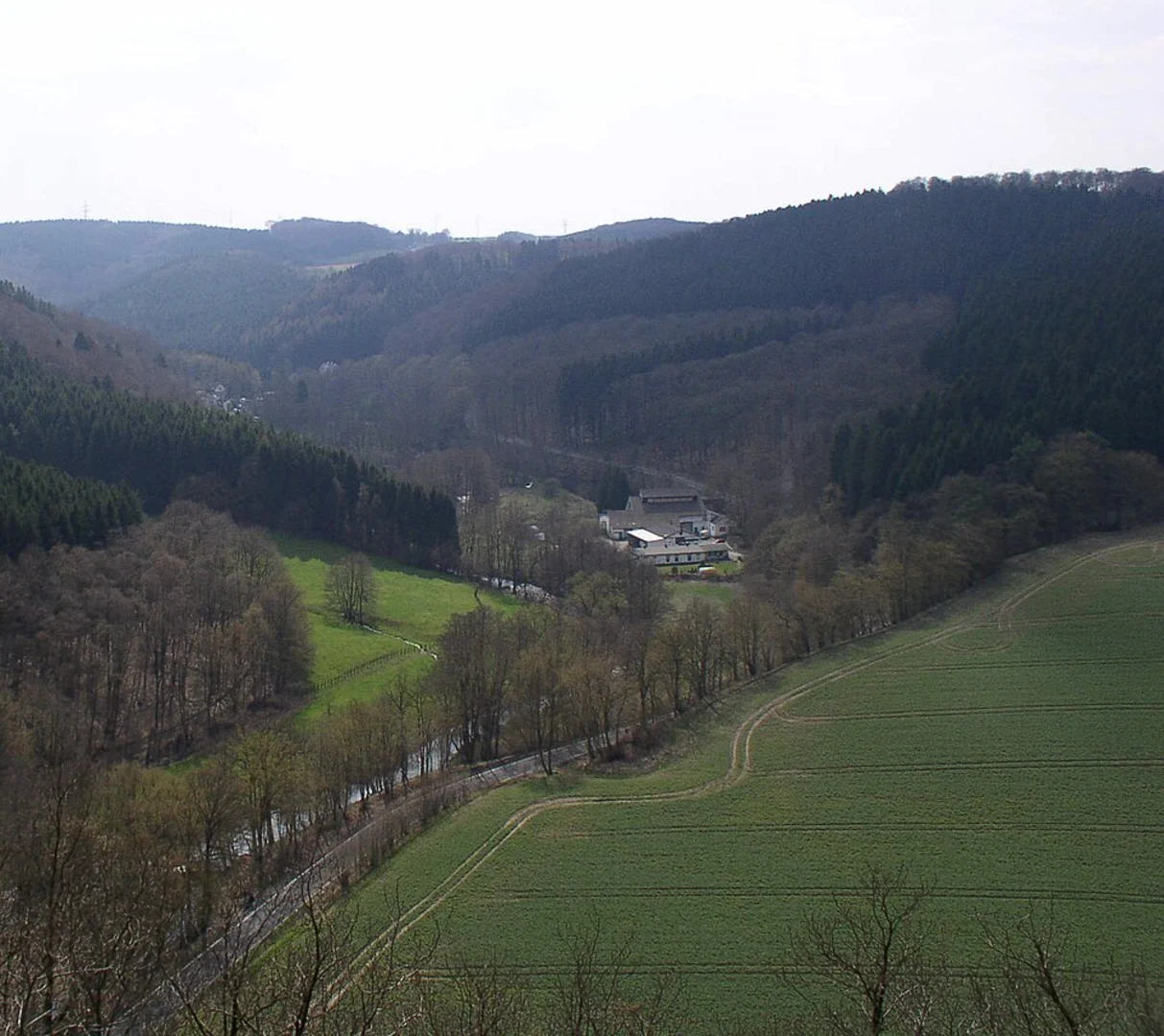
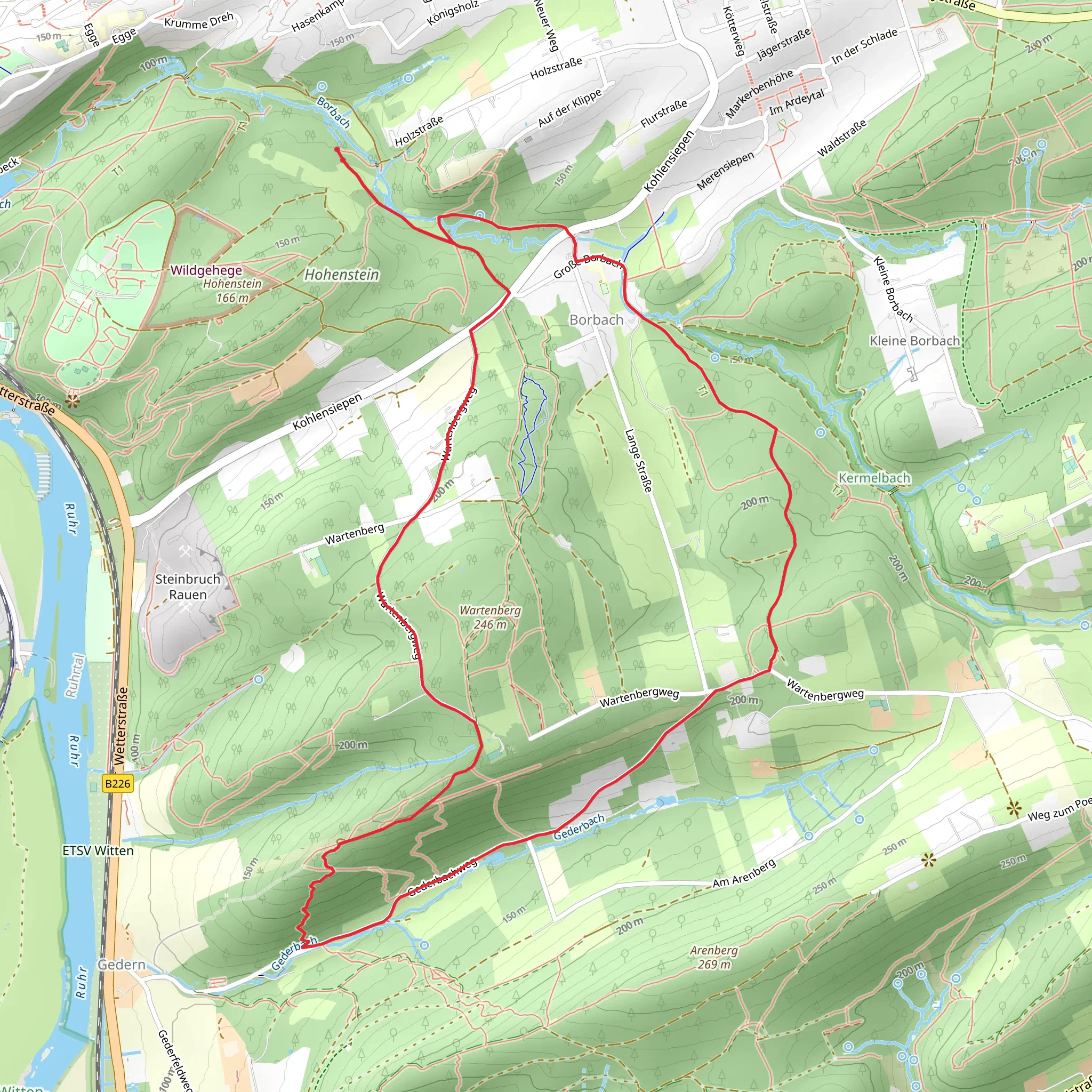
Starting near Ennepe-Ruhr-Kreis, Germany, the Wartenberg and Borbach Loop via Kohlensiepen Rundweg H1 is a delightful 7 km (4.35 miles) loop trail with an elevation gain of approximately 200 meters (656 feet). This medium-difficulty trail offers a mix of natural beauty, historical landmarks, and a chance to experience the local wildlife.### Getting There To reach the trailhead, you can either drive or use public transport. If driving, set your GPS to the nearest known address: Ennepe-Ruhr-Kreis, Germany. For those using public transport, the closest major transit hub is the city of Wuppertal. From Wuppertal, you can take a regional train to Schwelm station, followed by a local bus to the trailhead area.### Trail Overview The trail begins with a gentle ascent through a mixed forest, where you'll encounter a variety of deciduous and coniferous trees. Early in the hike, around the 1 km (0.62 miles) mark, you'll come across the Kohlensiepen stream, a serene spot perfect for a short break. The trail continues to climb gradually, offering glimpses of the surrounding Ennepe-Ruhr-Kreis region.### Historical Significance As you approach the 3 km (1.86 miles) point, you'll reach the Wartenberg area, known for its historical significance. This region was once a strategic lookout point during medieval times, and you can still see remnants of old fortifications. The elevation here is about 150 meters (492 feet) above sea level, providing panoramic views of the surrounding landscape.### Wildlife and Nature The trail then descends slightly into the Borbach valley, where the lush greenery and the sound of the Borbach stream create a tranquil atmosphere. This area is rich in wildlife; keep an eye out for deer, foxes, and a variety of bird species. The diverse flora includes wildflowers, ferns, and moss-covered rocks, making it a picturesque section of the hike.### Navigation and Safety Navigating the Wartenberg and Borbach Loop is straightforward, but it's always wise to have a reliable navigation tool. HiiKER is highly recommended for this purpose, as it provides detailed maps and real-time updates. The trail is well-marked, but occasional muddy patches and uneven terrain can be expected, especially after rain.### Final Stretch The final stretch of the trail takes you back through a dense forest, gradually descending towards the starting point. This section is relatively easy, allowing you to enjoy the peaceful surroundings and reflect on the hike. The loop concludes back at the trailhead, completing a rewarding 7 km journey through one of Germany's scenic and historically rich regions.
What to expect?
Activity types
Comments and Reviews
User comments, reviews and discussions about the Wartenberg and Borbach Loop via Kohlensiepen Rundweg H1, Germany.
4.0
average rating out of 5
1 rating(s)

