Download
Preview
Add to list
More
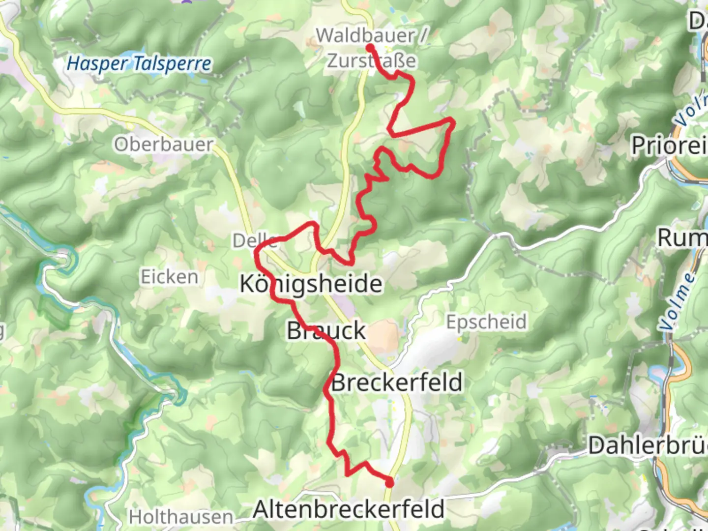
14.0 km
~3 hrs 17 min
297 m
Point-to-Point
“Explore 14 km of lush landscapes, historical landmarks, and diverse wildlife on this moderately challenging German trail.”
Starting near Ennepe-Ruhr-Kreis in Germany, this 14 km (approximately 8.7 miles) point-to-point trail offers a delightful mix of natural beauty and historical intrigue. With an elevation gain of around 200 meters (656 feet), the trail is rated as medium difficulty, making it accessible for most hikers with a moderate level of fitness.
Getting There
To reach the trailhead, you can either drive or use public transport. If you're driving, set your GPS to Ennepe-Ruhr-Kreis, and you'll find parking options near the starting point. For those using public transport, take a train or bus to the nearest station in Ennepe-Ruhr-Kreis. From there, local buses or a short taxi ride will get you to the trailhead.
Trail Overview
The trail begins in a lush, forested area, offering a serene start to your hike. As you progress, you'll encounter a variety of landscapes, including dense woodlands, open meadows, and gentle hills. The first few kilometers are relatively flat, allowing you to ease into the hike.
Significant Landmarks and Nature
Around the 3 km (1.9 miles) mark, you'll come across the picturesque Ennepe River. This is a great spot to take a short break and enjoy the tranquil surroundings. The river is home to various species of fish and birds, so keep your eyes peeled for wildlife.
Continuing on, you'll reach a small village known for its traditional German architecture. This village, located approximately 6 km (3.7 miles) into the hike, offers a glimpse into the region's history and culture. The half-timbered houses and cobblestone streets are particularly charming.
Historical Significance
The trail passes through areas that were historically significant during the industrial revolution. Ennepe-Ruhr-Kreis was once a hub for coal mining and steel production. You'll notice remnants of old mining equipment and informational plaques that provide context about the region's industrial past.
Wildlife and Flora
As you ascend towards Wengeberg, the trail becomes steeper, gaining most of its elevation in the last 4 km (2.5 miles). This section is rich in biodiversity. Look out for deer, foxes, and a variety of bird species. The flora is equally diverse, with oak, beech, and pine trees dominating the landscape.
Navigation
Given the varied terrain and multiple intersecting paths, it's advisable to use a reliable navigation tool like HiiKER to stay on track. The app provides detailed maps and real-time updates, ensuring you won't miss any key turns or landmarks.
Final Stretch
The final stretch towards Wengeberg offers panoramic views of the surrounding countryside. The elevation gain here is more pronounced, but the effort is well worth it. Upon reaching Wengeberg, you'll be rewarded with stunning vistas and a sense of accomplishment.
Practical Tips
- Wear sturdy hiking boots, as the trail can be uneven in places.
- Carry enough water and snacks, especially if you plan to take your time exploring the landmarks.
- Check the weather forecast before you go, as conditions can change rapidly.
- If you're hiking in the fall or winter, be prepared for muddy sections and dress in layers.
This trail offers a perfect blend of natural beauty, historical significance, and moderate physical challenge, making it a rewarding experience for any hiker.

What to expect?
Activity types
Comments and Reviews
User comments, reviews and discussions about the Waldbauer to Wengeberg Walk, Germany.
4.0
average rating out of 5
1 rating(s)