Download
Preview
Add to list
More
14.4 km
~3 hrs 35 min
428 m
Loop
“Embark on the Felsenweg and Pilgerweg Loop for 14 km of scenic beauty and historical intrigue!”
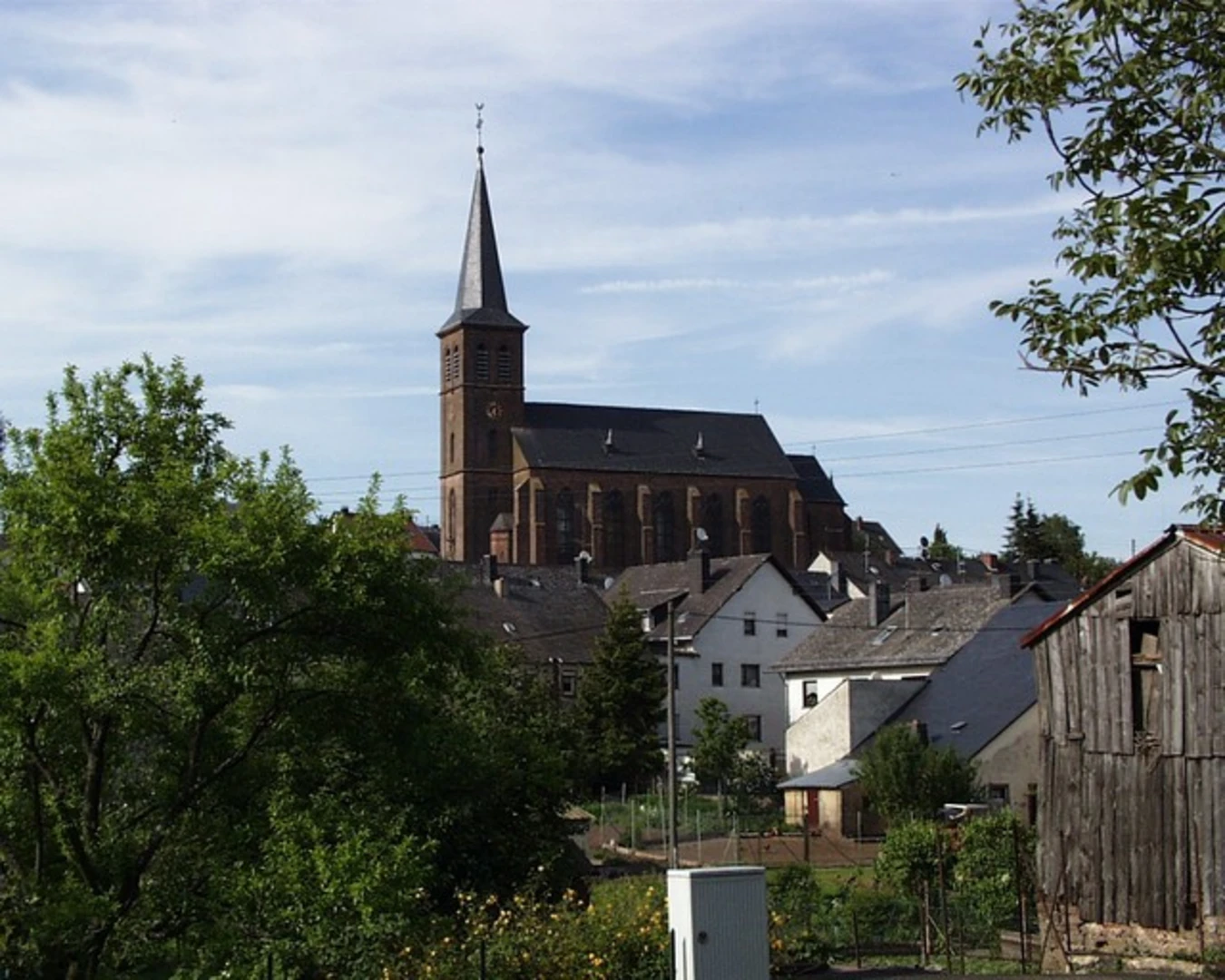
Starting your adventure near Eifelkreis Bitburg-Prüm, Germany, the Felsenweg and Pilgerweg Loop is a captivating 14 km (approximately 8.7 miles) journey with an elevation gain of around 400 meters (about 1,312 feet). This loop trail offers a medium difficulty rating, making it suitable for moderately experienced hikers.
Getting There
To reach the trailhead, you can drive or use public transport. If driving, set your GPS to the nearest known address: Bitburg, Germany. For those using public transport, take a train or bus to Bitburg and then a local bus or taxi to the trailhead.
Trail Overview
The trail begins with a gentle ascent, allowing you to ease into the hike. As you progress, the path becomes more rugged, winding through dense forests and open meadows. The first significant landmark you'll encounter is the Felsenweg, a rocky path that offers stunning views of the surrounding Eifel region. This section is approximately 5 km (3.1 miles) into the hike and involves an elevation gain of about 150 meters (492 feet).
Historical Significance
The Eifel region is rich in history, dating back to Roman times. Along the trail, you'll come across remnants of ancient Roman roads and possibly even some old fortifications. The Pilgerweg, or Pilgrim's Path, has historical significance as a route used by medieval pilgrims traveling to various religious sites in the region.
Flora and Fauna
The trail is a haven for nature enthusiasts. Expect to see a variety of flora, including oak, beech, and pine trees. In spring and summer, the meadows are adorned with wildflowers, making it a picturesque setting for photography. Wildlife is abundant; keep an eye out for deer, foxes, and a variety of bird species.
Key Sections
Felsenweg
Around the 7 km (4.3 miles) mark, you'll reach the Felsenweg section. This rocky path offers panoramic views and is a great spot for a short break. The elevation gain here is more pronounced, adding another 100 meters (328 feet) to your climb.
Pilgerweg
As you transition to the Pilgerweg, the trail becomes more serene, winding through quieter forested areas. This section is approximately 10 km (6.2 miles) into the hike and is relatively flat, making it a good opportunity to catch your breath.
Navigation
For navigation, it's highly recommended to use HiiKER. The app provides detailed maps and real-time updates, ensuring you stay on track throughout your hike.
Final Stretch
The last 4 km (2.5 miles) of the trail loop back towards the starting point. This section is mostly downhill, allowing for a leisurely end to your hike. The descent is gradual, with an elevation loss of about 150 meters (492 feet).
Practical Tips
- Wear sturdy hiking boots due to the rocky sections.
- Carry enough water and snacks, as there are limited facilities along the trail.
- Check the weather forecast before heading out, as conditions can change rapidly in the Eifel region.
This trail offers a blend of natural beauty, historical intrigue, and moderate physical challenge, making it a rewarding experience for those who embark on it.

What to expect?
Activity types
Comments and Reviews
User comments, reviews and discussions about the Felsenweg and Pilgerweg Loop, Germany.
4.5
average rating out of 5
4 rating(s)