Download
Preview
Add to list
More
7.9 km
~2 hrs 1 min
265 m
Loop
“The Kindinger Burgenweg Loop in Eichstätt, Germany, offers scenic beauty and historical ruins for moderately experienced hikers.”
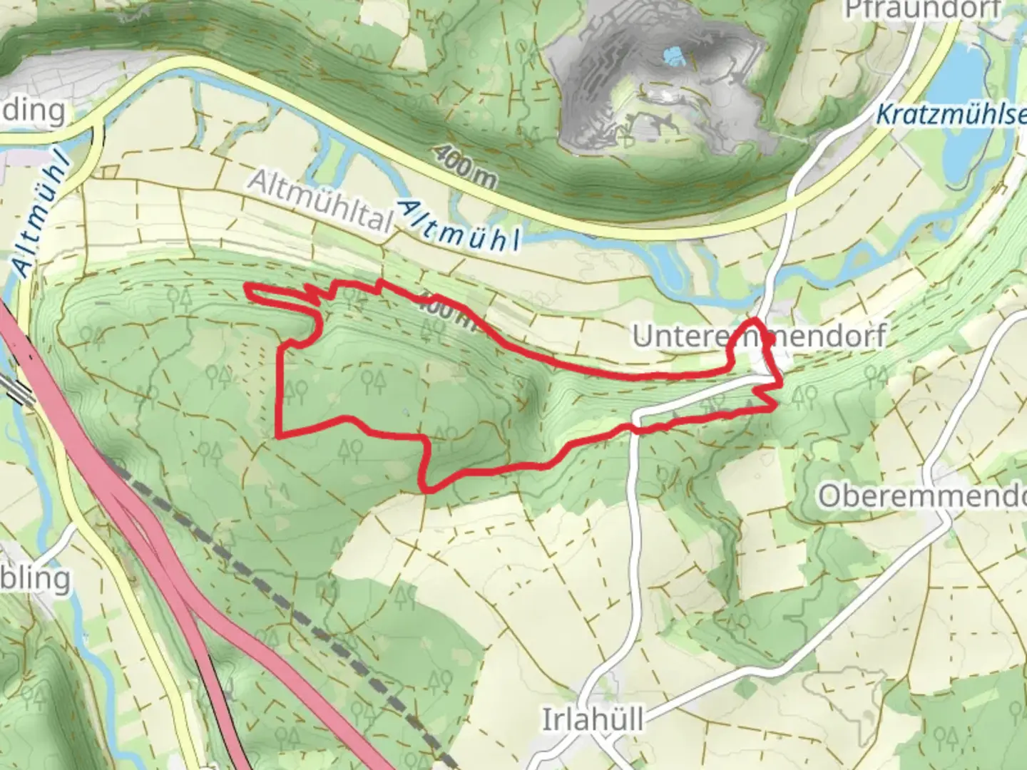
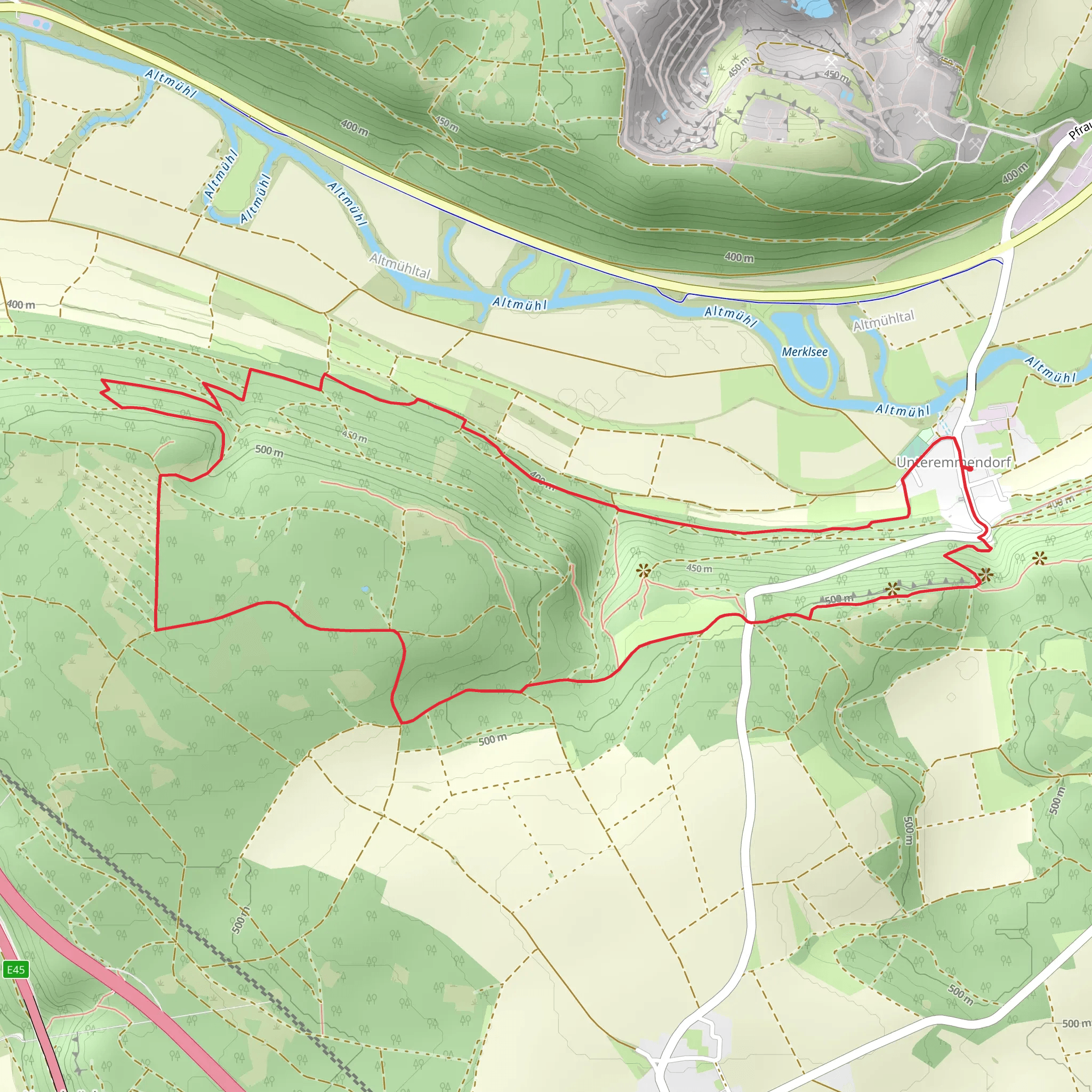
Starting near the picturesque town of Eichstätt in Germany, the Kindinger Burgenweg Loop is an 8 km (approximately 5 miles) trail with an elevation gain of around 200 meters (656 feet). This loop trail is rated as medium difficulty, making it suitable for moderately experienced hikers.### Getting There To reach the trailhead, you can either drive or use public transport. If driving, head towards Eichstätt, where ample parking is available near the starting point. For those using public transport, Eichstätt is well-connected by train and bus services. The nearest significant landmark to the trailhead is the Eichstätt Cathedral, a short walk from the start of the trail.### Trail Overview The Kindinger Burgenweg Loop offers a blend of natural beauty and historical intrigue. As you embark on this journey, you'll traverse through lush forests, open meadows, and rolling hills, providing a diverse hiking experience.### Historical Significance One of the highlights of this trail is its historical significance. The route takes you past several ancient castle ruins, including the Kinding Castle, which dates back to the medieval period. These ruins offer a glimpse into the region's rich history and are perfect spots for a brief rest and some exploration.### Landmarks and Points of Interest - Kinding Castle Ruins: Approximately 2 km (1.2 miles) into the hike, you'll encounter the remnants of Kinding Castle. The ruins are perched on a hill, offering panoramic views of the surrounding landscape. - Eichstätt Cathedral: Near the trailhead, this stunning cathedral is a must-see before or after your hike. Its baroque architecture is a testament to the region's historical and cultural heritage. - Altmühl River: As you continue along the trail, you'll come across the serene Altmühl River. This section of the hike is particularly scenic, with the river meandering through the valley.### Flora and Fauna The trail is rich in biodiversity. Keep an eye out for various bird species, including hawks and woodpeckers. The forested areas are home to deer and other small mammals. In spring and summer, the meadows are adorned with wildflowers, adding a splash of color to your hike.### Navigation To ensure you stay on track, it's advisable to use the HiiKER app, which provides detailed maps and real-time navigation. The trail is well-marked, but having a reliable navigation tool can enhance your hiking experience.### Elevation and Terrain The trail features a moderate elevation gain of 200 meters (656 feet), with some steep sections. The terrain varies from well-trodden paths to rocky inclines, so sturdy hiking boots are recommended. The highest point of the trail offers breathtaking views of the Altmühl Valley, making the climb well worth the effort.### Preparation and Safety Given the medium difficulty rating, it's important to be adequately prepared. Carry sufficient water, snacks, and a first-aid kit. Weather can be unpredictable, so check the forecast and dress in layers. Mobile reception is generally good, but it's always wise to inform someone of your hiking plans.The Kindinger Burgenweg Loop is a captivating trail that combines natural beauty with historical landmarks, offering a rewarding experience for those who venture along its path.
What to expect?
Activity types
Comments and Reviews
User comments, reviews and discussions about the Kindinger Burgenweg Loop, Germany.
average rating out of 5
0 rating(s)
