Download
Preview
Add to list
More
6.7 km
~1 hrs 41 min
212 m
Loop
“Embark on a medium-difficulty, 7 km journey through the lush Bavarian Forest, rich with history and panoramic views.”
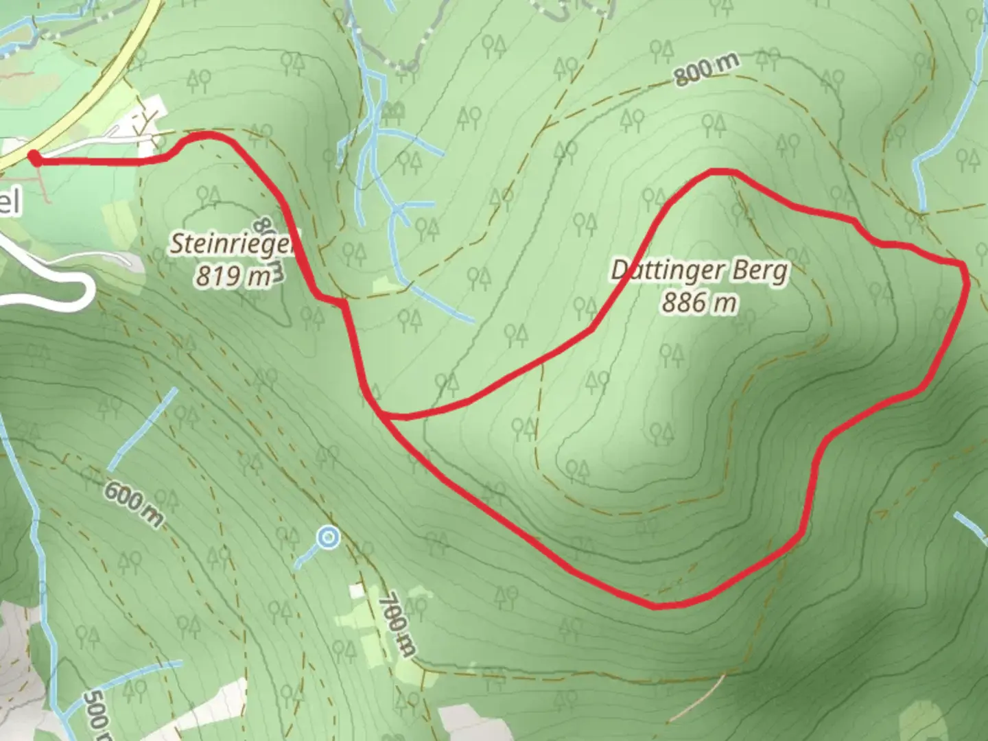
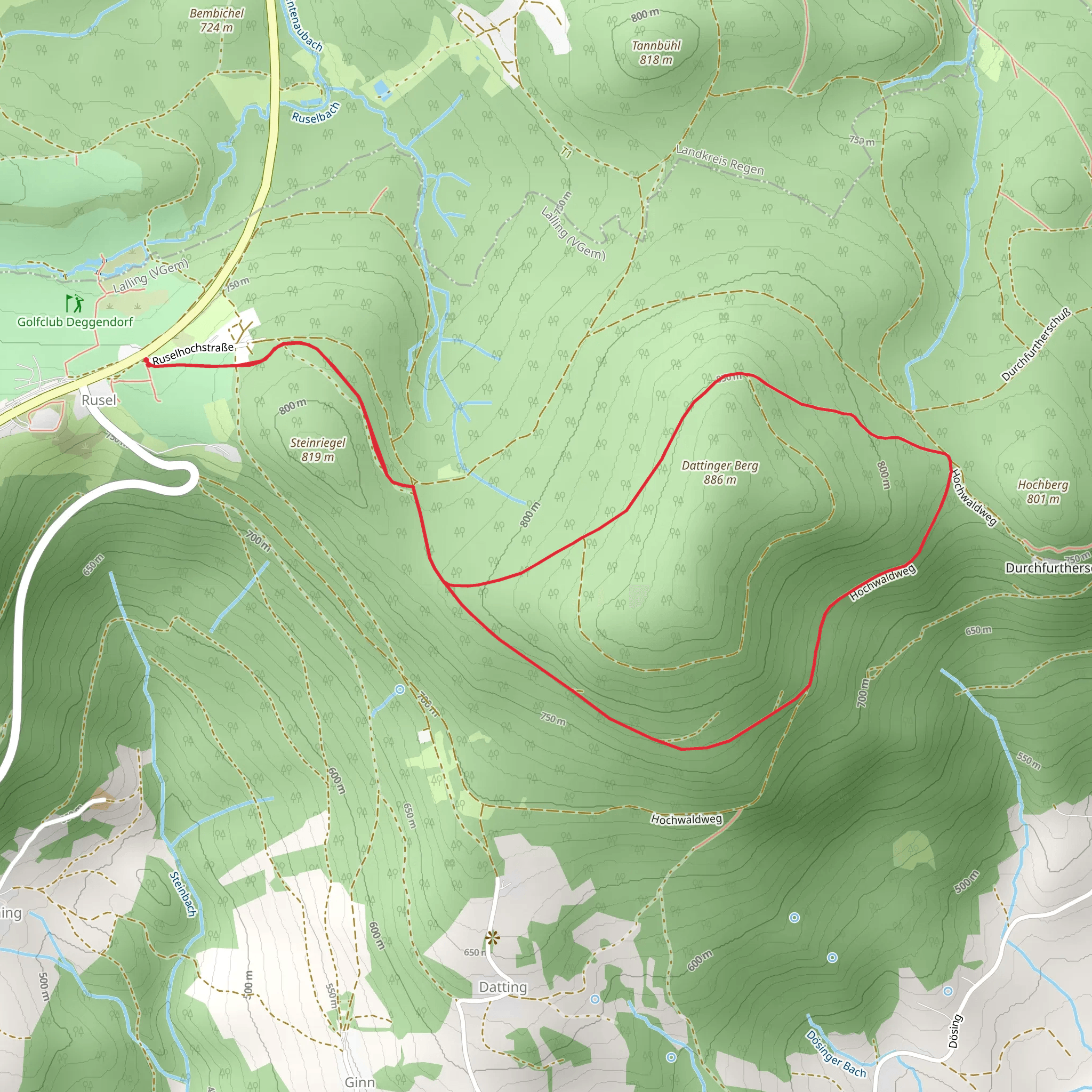
Starting near the charming town of Deggendorf, Germany, the Schauflinger Rundwanderweg Loop offers a delightful 7 km (4.3 miles) journey through the Bavarian Forest. With an elevation gain of approximately 200 meters (656 feet), this loop trail is rated as medium difficulty, making it suitable for moderately experienced hikers.### Getting There To reach the trailhead, you can either drive or use public transport. If you're driving, set your GPS to Deggendorf, and look for parking options near the town center. For those using public transport, Deggendorf is well-connected by train and bus services. From the Deggendorf train station, local buses can take you closer to the trailhead.### Trail Navigation For navigation, consider using the HiiKER app, which provides detailed maps and real-time updates to ensure you stay on track.### Trail Highlights As you embark on the Schauflinger Rundwanderweg Loop, you'll find yourself immersed in the lush greenery of the Bavarian Forest. The trail meanders through dense woodlands, open meadows, and offers occasional glimpses of the surrounding hills.#### Nature and Wildlife Keep an eye out for local wildlife, including deer, foxes, and a variety of bird species. The forest is rich with flora, featuring a mix of deciduous and coniferous trees, wildflowers, and ferns. During spring and summer, the trail is particularly vibrant with blooming flowers and the sounds of birdsong.#### Historical Significance The region around Deggendorf has a rich history dating back to medieval times. As you hike, you'll come across several historical markers and possibly remnants of old structures that hint at the area's past. Deggendorf itself is known for its historical architecture, including the Church of the Assumption and the Old Town Hall, which are worth exploring either before or after your hike.### Key Landmarks - Schaufling Village: Approximately 3 km (1.9 miles) into the hike, you'll pass through the quaint village of Schaufling. This is a great spot to take a short break and perhaps interact with some locals. - Panoramic Viewpoints: Around the 5 km (3.1 miles) mark, the trail ascends to a series of viewpoints offering panoramic views of the Bavarian Forest and the distant Alps on a clear day. These spots are perfect for photography and taking in the natural beauty of the region.### Trail Conditions The trail is well-marked and maintained, but be prepared for some uneven terrain and occasional muddy patches, especially after rain. Good hiking boots are recommended. There are a few steep sections, but they are manageable with a moderate level of fitness.### Safety and Preparation Ensure you carry enough water, especially during the warmer months, and pack some snacks or a light lunch. Weather in the Bavarian Forest can be unpredictable, so bring a rain jacket and dress in layers. Mobile reception can be spotty in some areas, making the HiiKER app even more valuable for navigation.By following these guidelines and being well-prepared, you'll have a rewarding and enjoyable experience on the Schauflinger Rundwanderweg Loop.
What to expect?
Activity types
Comments and Reviews
User comments, reviews and discussions about the Schauflinger Rundwanderweg Loop, Germany.
average rating out of 5
0 rating(s)
