Download
Preview
Add to list
More
11.9 km
~3 hrs 55 min
931 m
Point-to-Point
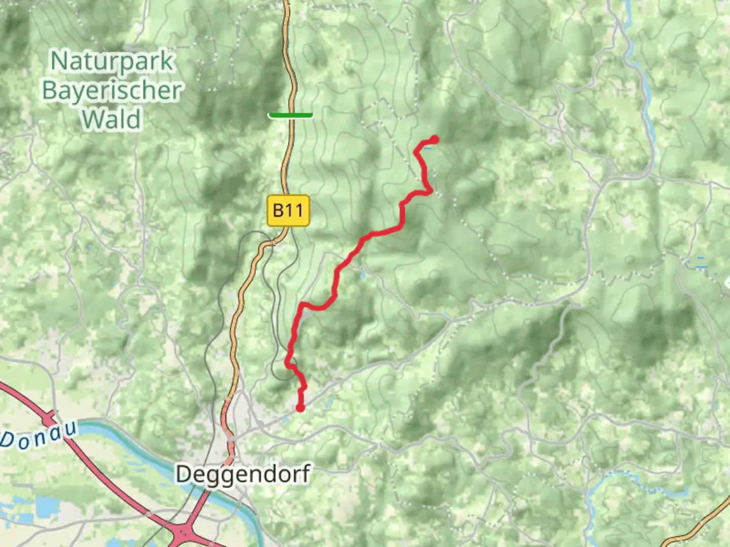
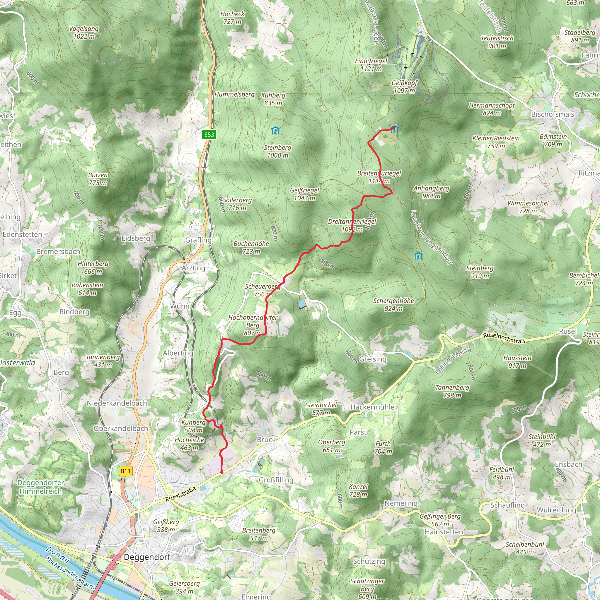
“Embark on a scenic 12-km trek through Bavarian Forest's natural beauty and historical treasures, starting in Deggendorf.”
Starting near the charming town of Deggendorf in Germany, this trail offers a delightful journey through the Bavarian Forest. The trailhead is easily accessible by both car and public transport. If you're driving, you can park near the Deggendorf train station, which is a convenient starting point. For those using public transport, the Deggendorf train station is well-connected with regular services from major cities like Munich and Regensburg.
Trail Overview
The Deggendorf to Landshuter Haus via Deggendorf Zielwanderweg is a point-to-point trail stretching approximately 12 kilometers (7.5 miles) with an elevation gain of around 900 meters (2,950 feet). This medium-difficulty hike is perfect for those looking to experience the natural beauty and historical richness of the Bavarian Forest.
Initial Ascent
The trail begins with a steady ascent through dense woodlands. The first 3 kilometers (1.9 miles) will take you through a mix of deciduous and coniferous trees, offering a serene and shaded environment. As you climb, you'll gain about 300 meters (985 feet) in elevation, so be prepared for a bit of a workout. The forest is home to a variety of wildlife, including deer, foxes, and numerous bird species, so keep your eyes peeled.
Mid-Trail Highlights
Around the 5-kilometer (3.1 miles) mark, you'll come across the first significant landmark: the Aussichtspunkt Geißkopf. This viewpoint offers stunning panoramic views of the surrounding valleys and hills. It's an excellent spot to take a break and enjoy the scenery. From here, the trail continues to climb, albeit more gradually, gaining another 200 meters (655 feet) in elevation over the next 2 kilometers (1.2 miles).
Historical Significance
As you approach the 8-kilometer (5 miles) point, you'll encounter remnants of historical significance. The area around Deggendorf has a rich history dating back to medieval times. You might come across old stone markers and ruins that hint at the region's past. This part of the trail is relatively flat, allowing you to catch your breath and take in the historical ambiance.
Final Stretch
The last 4 kilometers (2.5 miles) of the trail involve a mix of gentle ascents and descents, leading you through more open landscapes. You'll pass through meadows and small clearings, which are particularly beautiful in the spring and summer when wildflowers are in bloom. The final push to Landshuter Haus involves a steeper climb, gaining the last 200 meters (655 feet) in elevation.
Arrival at Landshuter Haus
Upon reaching Landshuter Haus, you'll be rewarded with breathtaking views and a sense of accomplishment. This mountain hut offers basic amenities and is a great place to rest and refuel. The surrounding area is perfect for exploring further or simply relaxing and enjoying the natural beauty.
Navigation and Safety
For navigation, it's highly recommended to use the HiiKER app, which provides detailed maps and real-time updates. The trail is well-marked, but having a reliable navigation tool will ensure you stay on track. Always check the weather forecast before heading out, as conditions can change rapidly in mountainous areas.
This trail offers a perfect blend of natural beauty, physical challenge, and historical intrigue, making it a must-do for any hiking enthusiast visiting the Bavarian Forest.
Comments and Reviews
User comments, reviews and discussions about the Deggendorf to Landshuter Haus via Deggendorf Zielwanderweg, Germany.
4.33
average rating out of 5
3 rating(s)
