Download
Preview
Add to list
More
13.3 km
~3 hrs 21 min
419 m
Loop
“The Runding to Reid am Haidstein Loop is a moderately challenging 13 km trail featuring stunning landscapes and historical landmarks.”
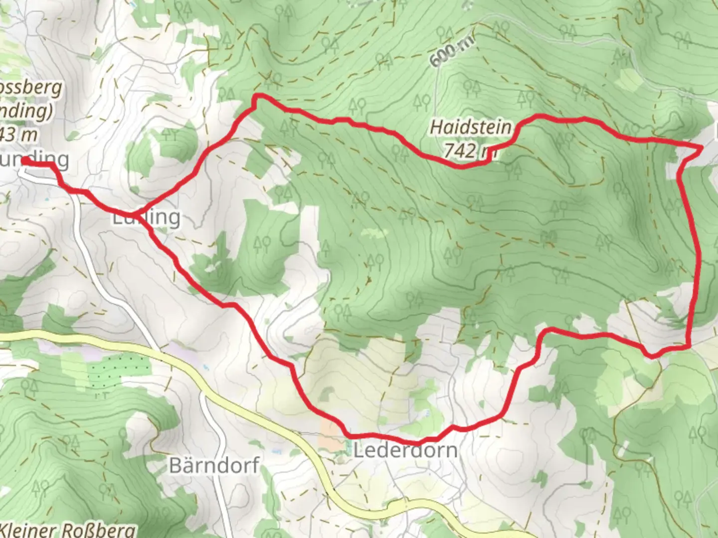
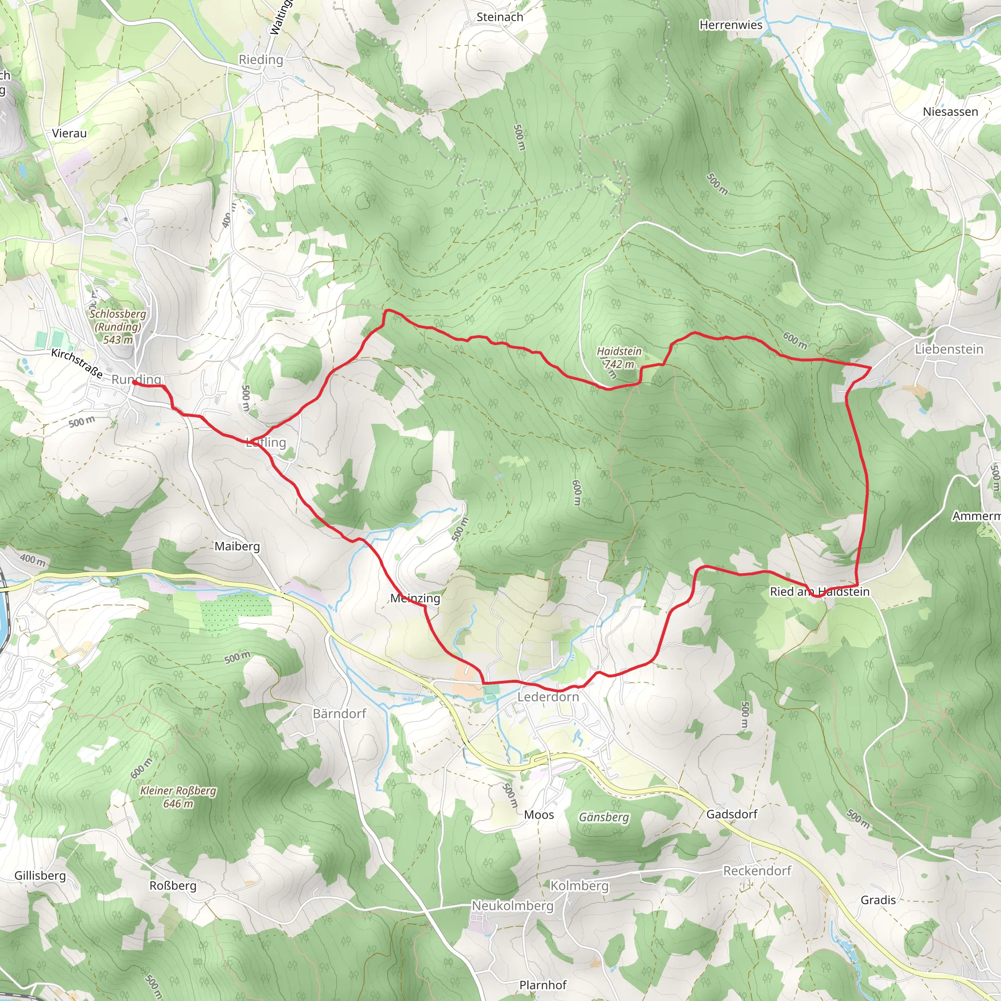
Starting near Cham, Germany, the Runding to Reid am Haidstein Loop via Kreuzweg is a captivating 13 km (8 miles) loop trail with an elevation gain of approximately 400 meters (1,312 feet). This trail is rated as medium difficulty, making it suitable for moderately experienced hikers.### Getting There To reach the trailhead, you can either drive or use public transport. If driving, head towards Cham and look for parking near the village of Runding. For those using public transport, take a train to Cham and then a local bus to Runding. The nearest significant landmark to the trailhead is the Runding Castle ruins, which are well-signposted and easy to find.### Trail Overview The trail begins near the Runding Castle ruins, a historical site dating back to the 12th century. As you start your hike, you'll be greeted by a mix of forested paths and open meadows. The initial section is relatively flat, allowing you to ease into the hike.### Key Landmarks and Sections
Kreuzweg
Around the 3 km (1.9 miles) mark, you'll encounter the Kreuzweg, a series of 14 stations of the cross. This section is not only spiritually significant but also offers a moment of reflection amidst the natural beauty. The path here is well-marked and slightly uphill, contributing to the overall elevation gain.#### Reid am Haidstein Continuing on, you'll reach Reid am Haidstein at approximately 7 km (4.3 miles) into the hike. This area is known for its panoramic views of the Bavarian Forest and the surrounding valleys. The elevation here is around 600 meters (1,968 feet), making it one of the highest points on the trail. Take a moment to enjoy the scenery and perhaps have a snack before descending.### Flora and Fauna The trail is rich in biodiversity. Expect to see a variety of deciduous and coniferous trees, including oak, beech, and spruce. Wildlife is abundant; you might spot deer, foxes, and a variety of bird species. Keep an eye out for the rare black stork, which is known to inhabit this region.### Navigation and Safety The trail is well-marked, but it's always a good idea to have a reliable navigation tool. HiiKER is highly recommended for this purpose. The app provides detailed maps and real-time updates, ensuring you stay on the right path.### Final Stretch The last 3 km (1.9 miles) of the trail take you through a serene forested area, gradually descending back towards Runding. This section is less strenuous, allowing you to cool down and reflect on the hike. As you approach the end, you'll pass by the Runding Castle ruins once more, offering a perfect bookend to your journey.### Historical Significance The region around Cham and Runding is steeped in history. The Runding Castle ruins are a testament to the area's medieval past, having been a significant fortification in the 12th century. The Kreuzweg stations add a layer of religious and cultural history, making this trail not just a natural but also a historical journey.This trail offers a balanced mix of natural beauty, moderate physical challenge, and historical intrigue, making it a rewarding experience for any hiker.
What to expect?
Activity types
Comments and Reviews
User comments, reviews and discussions about the Runding to Reid am Haidstein Loop via Kreuzweg, Germany.
average rating out of 5
0 rating(s)
