Download
Preview
Add to list
More
10.3 km
~2 hrs 46 min
425 m
Loop
“Discover a scenic 10 km loop trail in Germany's Black Forest, blending natural beauty and historical intrigue.”
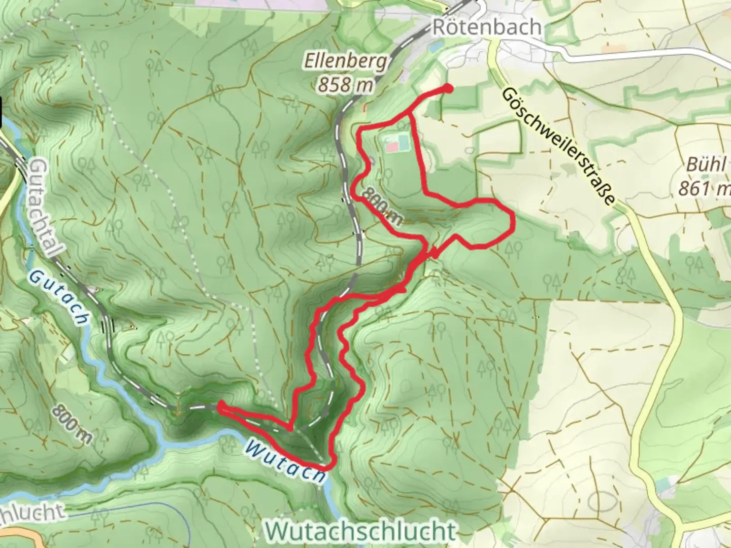
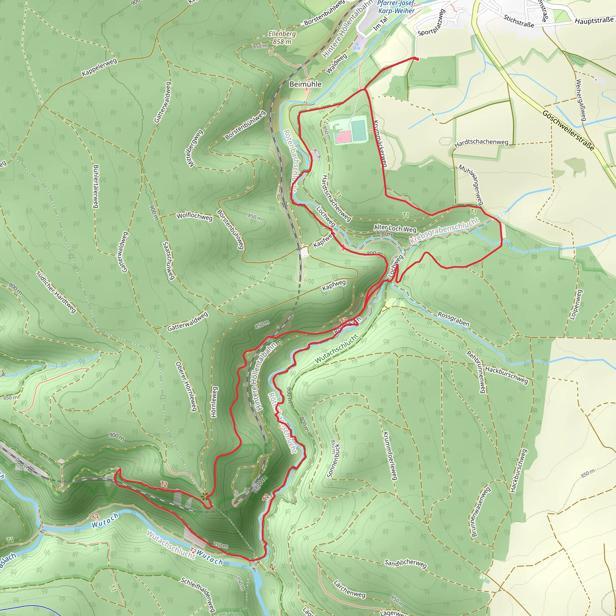
Starting near the picturesque region of Breisgau-Hochschwarzwald in Germany, this 10 km (6.2 miles) loop trail offers a delightful mix of natural beauty and moderate physical challenge. With an elevation gain of around 400 meters (1,312 feet), hikers can expect a rewarding experience that combines scenic vistas, lush forests, and a touch of historical intrigue.### Getting There To reach the trailhead, you can either drive or use public transport. If driving, set your GPS to the nearest known address: Hinterzarten, a charming village in the Black Forest region. For those using public transport, take a train to Hinterzarten Station. From there, it's a short walk to the trailhead.### Trail Overview The trail begins with a gentle ascent through dense, verdant forests typical of the Black Forest region. Early on, you'll encounter a mix of coniferous and deciduous trees, providing ample shade and a serene atmosphere. The first kilometer (0.6 miles) is relatively easy, allowing you to warm up before the more challenging sections.### Significant Landmarks Around the 2 km (1.2 miles) mark, you'll come across the first significant landmark: the Zweiseenblick, a viewpoint offering stunning vistas of the Titisee and Schluchsee lakes. This is an excellent spot for a short break and some photography.Continuing on, the trail becomes steeper as you approach the 4 km (2.5 miles) point. Here, you'll find the historic Rinken Tower, a relic from the early 20th century. The tower was originally built for forest fire observation and now serves as a fascinating historical marker. Climbing the tower offers panoramic views of the surrounding landscape, making the effort well worth it.### Flora and Fauna The trail is rich in biodiversity. Keep an eye out for native wildlife such as deer, foxes, and a variety of bird species. The flora is equally impressive, with seasonal wildflowers adding splashes of color to the green backdrop. In spring and summer, the forest floor is carpeted with blooming flowers, while autumn brings a riot of colors as the leaves change.### Navigation and Safety Given the moderate difficulty of the trail, it's advisable to use a reliable navigation tool like HiiKER to stay on track. The trail is well-marked, but having a digital map can provide extra assurance. Wear sturdy hiking boots, as some sections can be rocky and uneven. Carry enough water and snacks, especially if you plan to take your time exploring the landmarks.### Final Stretch The last 3 km (1.9 miles) of the trail offer a gentle descent back towards Hinterzarten. This section is less strenuous, allowing you to enjoy the tranquil surroundings and reflect on the journey. As you near the end, you'll pass through open meadows, offering a different but equally beautiful perspective of the Black Forest.### Historical Significance The region around Breisgau-Hochschwarzwald has a rich history dating back to Roman times. The Black Forest itself has been a source of myths and legends, adding an element of mystique to your hike. The Rinken Tower, in particular, stands as a testament to the area's historical importance in forest management and conservation.This loop trail offers a balanced mix of natural beauty, moderate physical challenge, and historical intrigue, making it a must-visit for any hiking enthusiast.
What to expect?
Activity types
Comments and Reviews
User comments, reviews and discussions about the Rettungssektor A and Genießerpfad Loop, Germany.
4.33
average rating out of 5
9 rating(s)
