Download
Preview
Add to list
More
5.7 km
~1 hrs 25 min
168 m
Loop
“The Mathisleweiher Loop offers a moderately challenging 6 km hike through the scenic and historic Black Forest.”
Starting near Breisgau-Hochschwarzwald in Germany, the Mathisleweiher Loop is a delightful 6 km (approximately 3.7 miles) trail with an elevation gain of around 100 meters (328 feet). This loop trail is rated as medium difficulty, making it suitable for moderately experienced hikers.
Getting There
To reach the trailhead, you can either drive or use public transport. If driving, set your GPS to the nearest known address: Hinterzarten, a charming village in the Black Forest region. From Hinterzarten, follow signs to the trailhead, which is well-marked and offers parking facilities. For those using public transport, take a train to Hinterzarten Station. From the station, it's a short walk to the trailhead, making it convenient for those without a car.
Trail Overview
The Mathisleweiher Loop begins with a gentle ascent through dense forest, offering a serene start to your hike. The initial 1 km (0.6 miles) takes you through a canopy of towering trees, where you might spot local wildlife such as deer and various bird species. The forest floor is often carpeted with ferns and wildflowers, adding to the trail's natural beauty.
Significant Landmarks
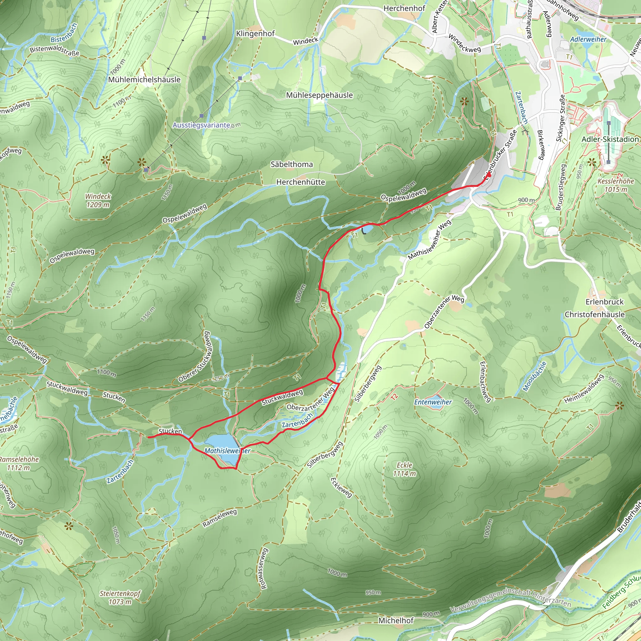
At around the 2 km (1.2 miles) mark, you'll reach Mathisleweiher, a picturesque pond that serves as the trail's namesake. This is an excellent spot for a short break, where you can enjoy the tranquil waters and perhaps catch a glimpse of ducks or other waterfowl. The pond is surrounded by lush greenery, making it a perfect photo opportunity.
Continuing on, the trail meanders through more forested areas and open meadows. Around the 4 km (2.5 miles) point, you'll encounter a slight elevation gain as you ascend a small hill. This section offers panoramic views of the surrounding Black Forest, a sight that is particularly stunning during the autumn months when the foliage turns vibrant shades of red and gold.
Historical Significance
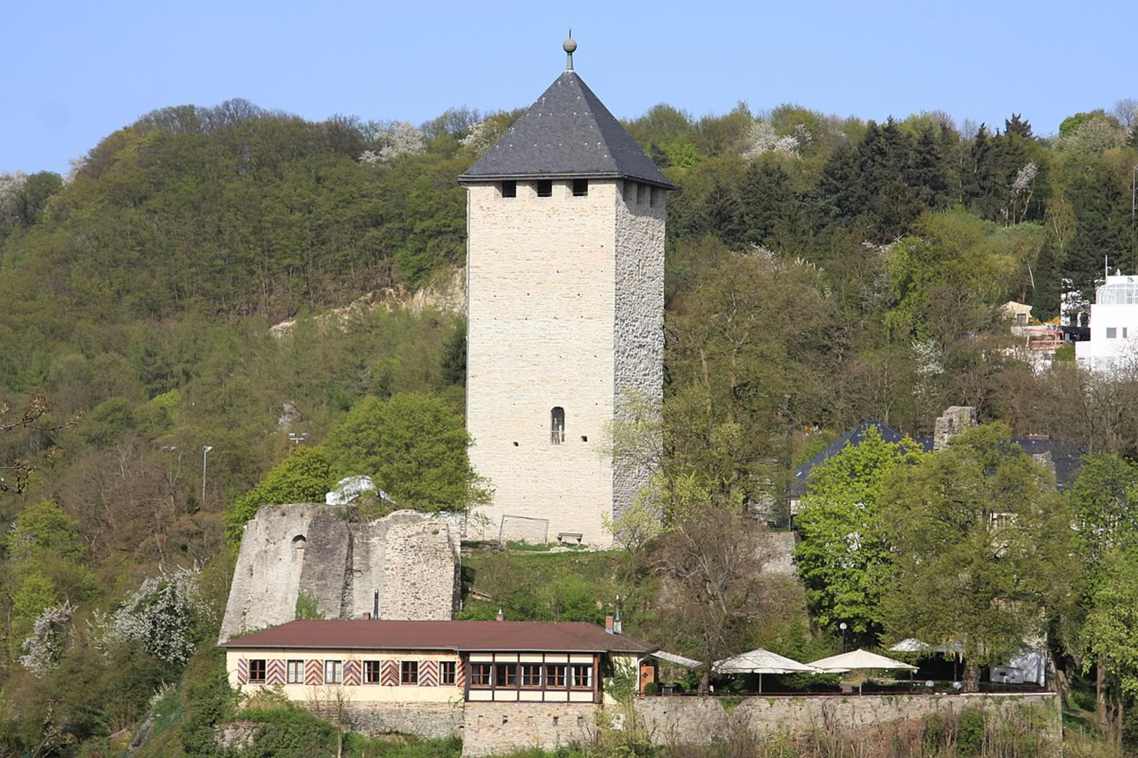
The region around Breisgau-Hochschwarzwald is steeped in history. The Black Forest itself has been inhabited since ancient times, and the area was a significant part of the Roman Empire. Hinterzarten, the village near the trailhead, has a history dating back to the 12th century. As you hike, you may come across old stone markers and remnants of historical structures, offering a glimpse into the past.
Navigation and Safety
For navigation, it's highly recommended to use HiiKER, which provides detailed maps and real-time updates. The trail is well-marked, but having a reliable navigation tool ensures you stay on track.
Flora and Fauna
The Mathisleweiher Loop is rich in biodiversity. In addition to deer and birds, you might encounter small mammals like squirrels and hares. The flora is equally diverse, with a mix of deciduous and coniferous trees, wildflowers, and moss-covered rocks. The trail is particularly beautiful in spring when the wildflowers are in full bloom.
Final Stretch
The last 2 km (1.2 miles) of the trail take you through a mix of forest and open areas, gradually descending back to the trailhead. This section is relatively easy, allowing you to cool down and reflect on the natural beauty you've experienced.
Whether you're a seasoned hiker or someone looking to explore the Black Forest, the Mathisleweiher Loop offers a rewarding experience with its mix of natural beauty, historical significance, and moderate challenge.
What to expect?
Activity types
Comments and Reviews
User comments, reviews and discussions about the Mathisleweiher Loop, Germany.
4.6
average rating out of 5
5 rating(s)

