Download
Preview
Add to list
More
7.2 km
~1 hrs 55 min
289 m
Loop
“The Eulenweg Loop in Bodenseekreis offers a picturesque, moderately challenging 7 km hike with historical landmarks and abundant wildlife.”
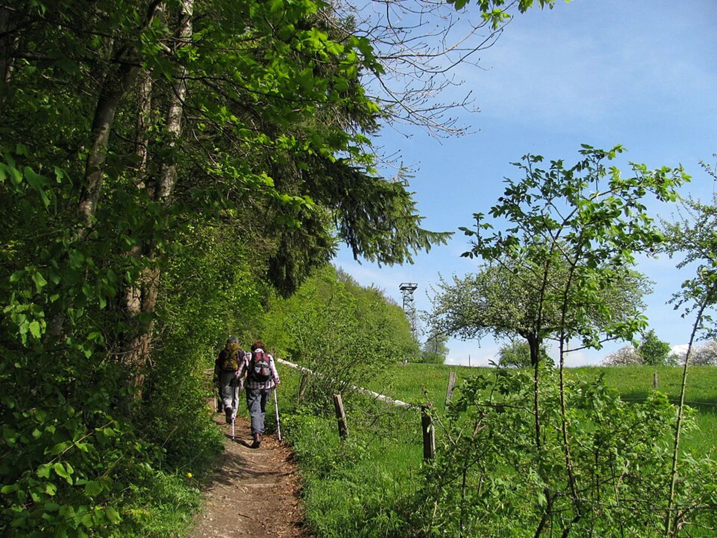
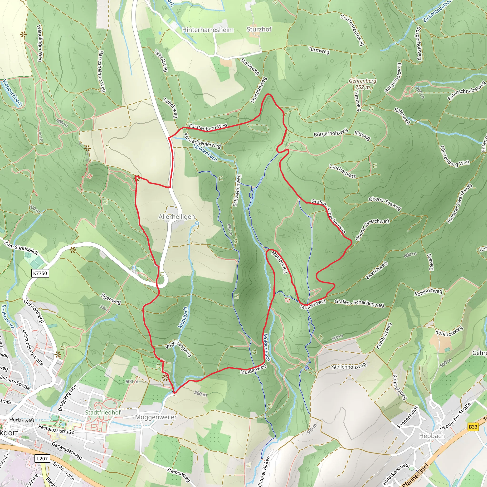
Starting near Bodenseekreis, Germany, the Eulenweg Loop is a picturesque 7 km (4.35 miles) trail with an elevation gain of approximately 200 meters (656 feet). This loop trail offers a medium difficulty rating, making it suitable for moderately experienced hikers.### Getting There To reach the trailhead, you can either drive or use public transport. If driving, set your GPS to the nearest known address: Bodenseekreis, Germany. For those opting for public transport, take a train or bus to the nearest major town, Friedrichshafen, and then a local bus or taxi to the trailhead.### Trail Overview The Eulenweg Loop begins with a gentle ascent through dense forests, offering a serene start to your hike. As you progress, the trail becomes steeper, leading you to higher elevations where you can enjoy panoramic views of the surrounding landscape. The first 2 km (1.24 miles) will take you through a mix of deciduous and coniferous trees, providing ample shade and a cool environment.### Significant Landmarks Around the 3 km (1.86 miles) mark, you'll come across an old watchtower, a remnant of the region's historical significance. This tower dates back to medieval times and was used for monitoring and communication. Take a moment to explore this landmark and enjoy the views it offers.### Nature and Wildlife The trail is rich in biodiversity. Keep an eye out for local wildlife such as deer, foxes, and a variety of bird species. The area is particularly known for its owl population, hence the name "Eulenweg," which translates to "Owl Way." During spring and summer, the trail is adorned with wildflowers, adding a splash of color to your hike.### Navigation To ensure you stay on track, use the HiiKER app for real-time navigation and updates. The trail is well-marked, but having a reliable navigation tool can enhance your hiking experience.### Elevation and Terrain The elevation gain is gradual but consistent, with the steepest sections occurring between the 4 km (2.48 miles) and 5 km (3.1 miles) marks. The terrain varies from forest paths to rocky sections, so sturdy hiking boots are recommended. The final descent brings you back through a lush valley, completing the loop.### Historical Significance The Bodenseekreis region has a rich history, with settlements dating back to the Roman era. The trail itself passes through areas that were once part of ancient trade routes. The watchtower you encounter is a testament to the region's strategic importance in medieval times.### Final Stretch As you near the end of the loop, the trail flattens out, offering a leisurely walk back to the trailhead. This section is perfect for cooling down and reflecting on the natural beauty and historical richness you've experienced.Whether you're a seasoned hiker or someone looking to explore the natural and historical wonders of Bodenseekreis, the Eulenweg Loop offers a fulfilling and enriching experience.
What to expect?
Activity types
Comments and Reviews
User comments, reviews and discussions about the Eulenweg Loop, Germany.
4.57
average rating out of 5
7 rating(s)

