Download
Preview
Add to list
More
12.1 km
~2 hrs 55 min
306 m
Point-to-Point
“Explore the "Kepler Town" to Monbachtal trail for a scenic, moderately challenging hike through history and nature.”
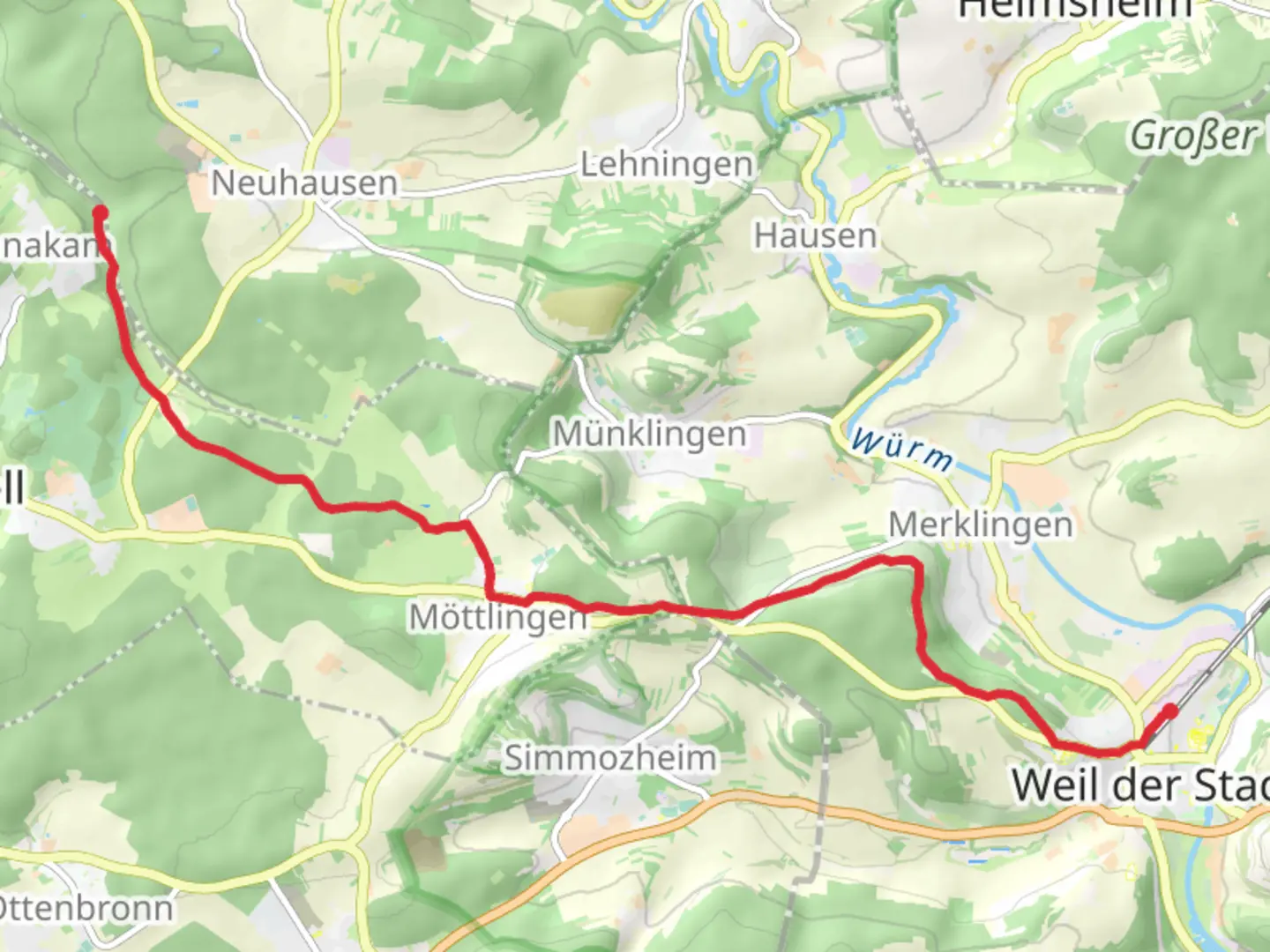
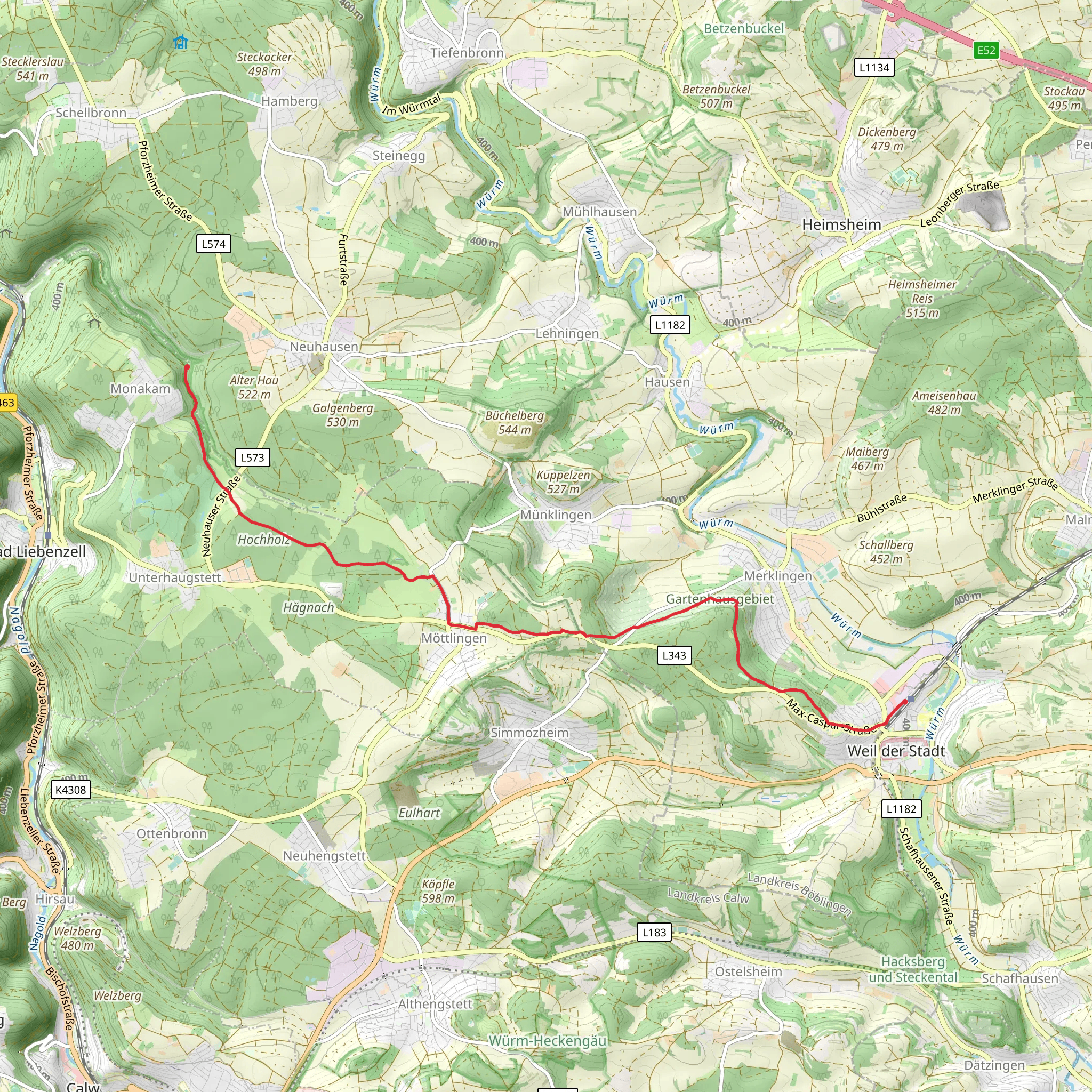
Starting near Böblingen, Germany, this 12 km (approximately 7.5 miles) point-to-point trail from Weil der Stadt to Monbachtal offers a moderately challenging hike with an elevation gain of around 300 meters (approximately 984 feet). The trailhead is easily accessible by public transport or car. If you're taking public transport, you can reach Böblingen via regional trains from Stuttgart. From Böblingen, local buses will take you to Weil der Stadt, where the trail begins. For those driving, there are parking facilities available near the trailhead.### Trail OverviewThe trail begins in the charming town of Weil der Stadt, known for its well-preserved medieval architecture and historical significance. Weil der Stadt is often referred to as the "Kepler Town" in honor of the famous astronomer Johannes Kepler, who was born here. As you start your hike, you'll pass through the town's picturesque streets, giving you a glimpse of its rich history.### Nature and WildlifeAs you leave Weil der Stadt, the trail takes you through a variety of landscapes, including dense forests, open meadows, and rolling hills. The Black Forest region is renowned for its biodiversity, so keep an eye out for local wildlife such as deer, foxes, and a variety of bird species. The forested sections are particularly beautiful in the spring and autumn, offering a vibrant display of colors.### Significant LandmarksAround the 4 km (2.5 miles) mark, you'll come across the ruins of an old castle, known locally as Burgruine Zavelstein. This medieval fortress offers a great spot for a short break and some exploration. The ruins provide a glimpse into the region's feudal past and offer panoramic views of the surrounding countryside.### Elevation and TerrainThe trail features a mix of ascents and descents, with the most significant climb occurring around the halfway point. Here, you'll gain approximately 150 meters (492 feet) in elevation over a distance of 2 km (1.2 miles). The terrain varies from well-maintained paths to more rugged sections, so sturdy hiking boots are recommended.### Navigation and SafetyGiven the trail's moderate difficulty, it's advisable to use a reliable navigation tool like HiiKER to stay on track. The trail is well-marked, but having a digital map can be invaluable, especially in the more remote sections. Always carry enough water and snacks, as there are limited facilities along the route.### Final Stretch to MonbachtalAs you approach Monbachtal, the trail descends into a picturesque valley. Monbachtal is known for its serene natural beauty, featuring a small stream and lush vegetation. This area is a popular spot for picnics and offers a peaceful end to your hike. The valley is also home to several rare plant species, making it a haven for botany enthusiasts.### Getting BackOnce you reach Monbachtal, you can either arrange for a pickup or take a local bus back to Böblingen or Stuttgart. Public transport options are available but may require some planning, so check the schedules in advance.This trail offers a perfect blend of natural beauty, historical landmarks, and moderate physical challenge, making it a rewarding experience for hikers of all levels.
Comments and Reviews
User comments, reviews and discussions about the Weil der Stadt to Monbachtal, Germany.
4.0
average rating out of 5
1 rating(s)
