Download
Preview
Add to list
More
2.8 km
~36 min
33 m
Loop
“The Karl-Regeles-Weg Loop offers a picturesque, historically rich, and moderately challenging hike near Böblingen, Germany.”
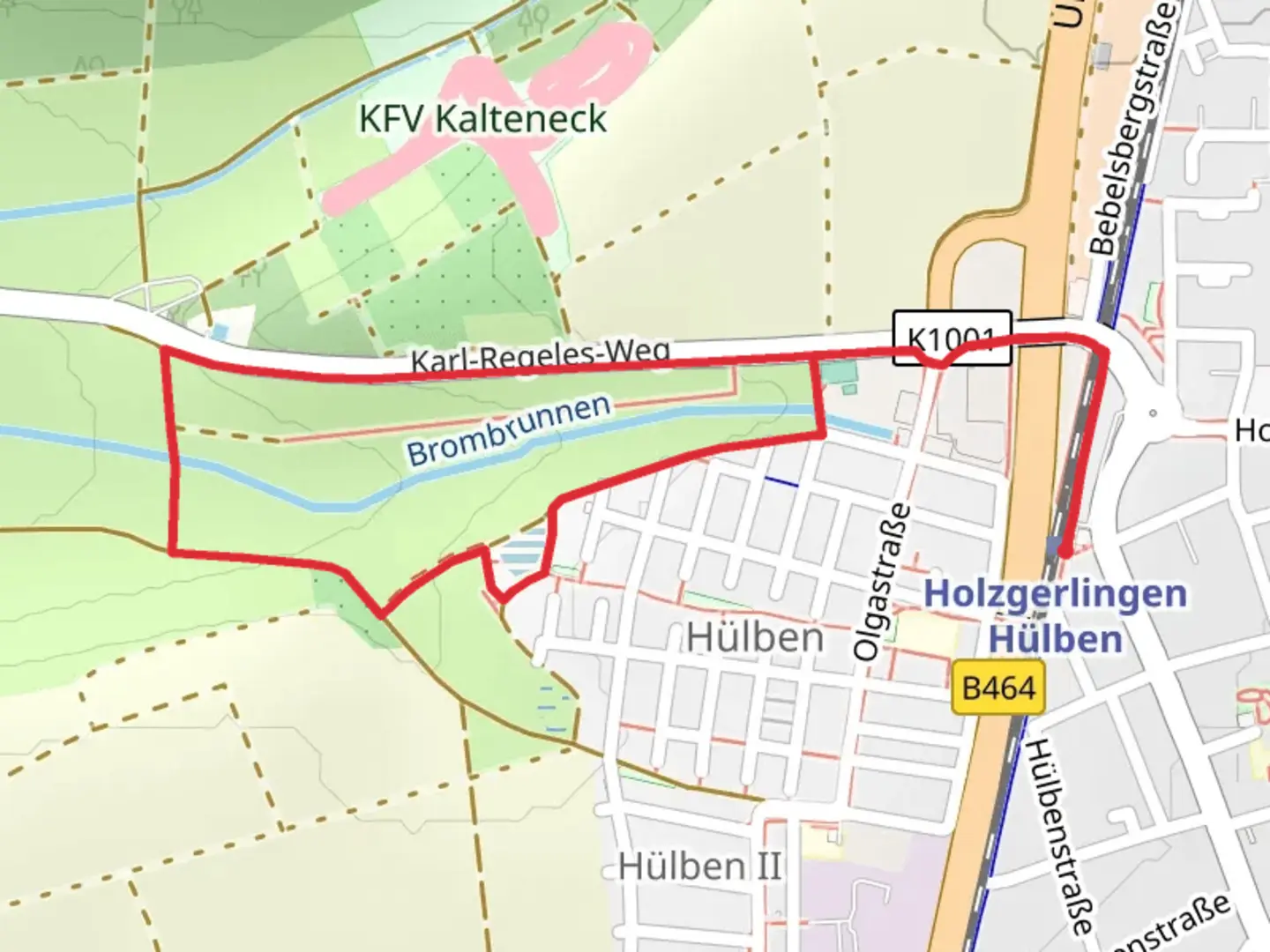
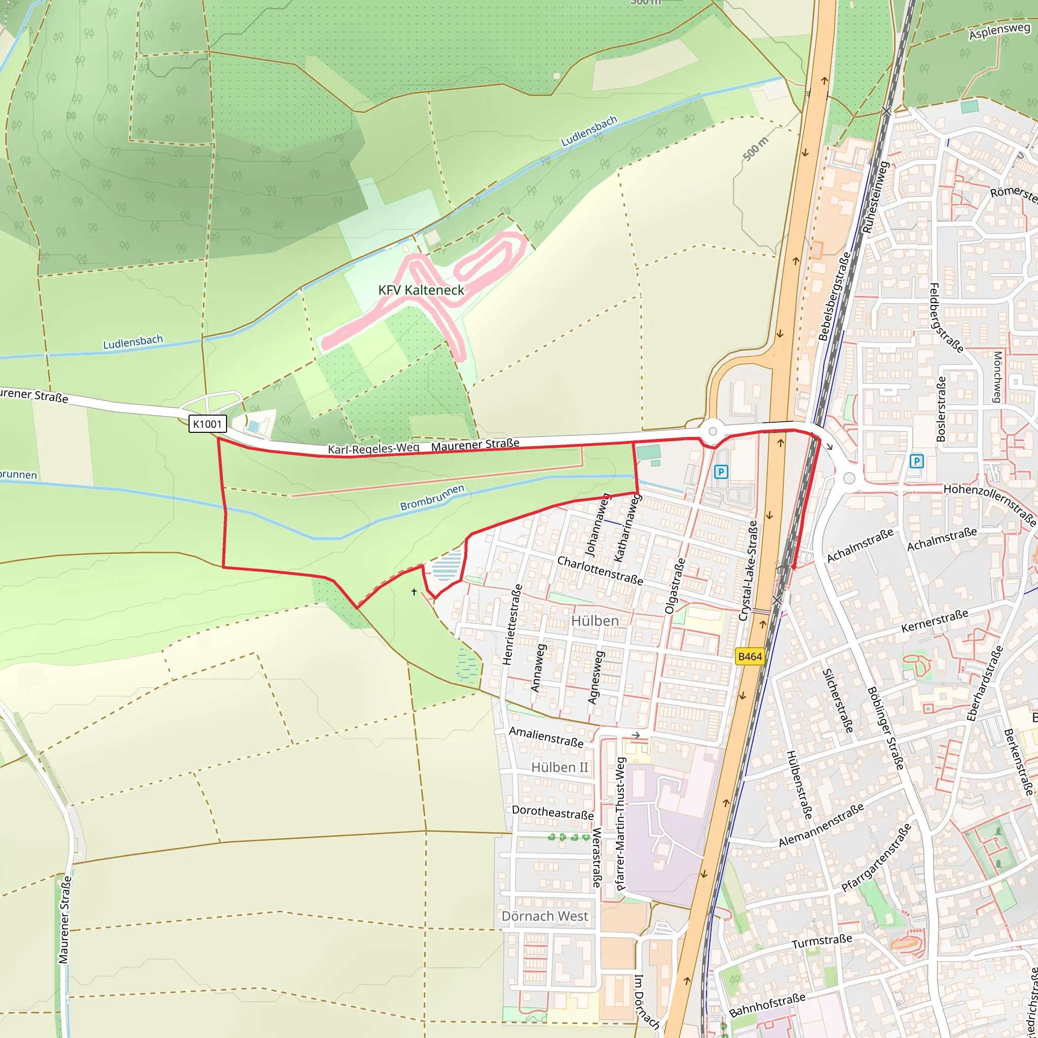
Starting near the charming town of Böblingen, Germany, the Karl-Regeles-Weg Loop offers a delightful 3 km (approximately 1.86 miles) journey through a picturesque landscape. With no significant elevation gain, this loop trail is accessible to a wide range of hikers, though it is rated as Medium difficulty due to some uneven terrain and natural obstacles.### Getting There To reach the trailhead, you can either drive or use public transport. If driving, set your GPS to Böblingen, and you will find ample parking options near the starting point. For those using public transport, Böblingen is well-connected by train and bus services from Stuttgart and other nearby cities. The nearest significant landmark to the trailhead is the Böblingen Train Station, making it convenient for those arriving by train.### Trail Navigation For navigation, it is highly recommended to use the HiiKER app, which provides detailed maps and real-time updates to ensure you stay on the correct path.### Trail Highlights As you embark on the Karl-Regeles-Weg Loop, you will be greeted by a serene forested area that offers a refreshing escape from urban life. The trail meanders through dense woodlands, where you can enjoy the sights and sounds of local wildlife, including various bird species and small mammals. Keep an eye out for deer, which are often spotted in this region.### Historical Significance The area around Böblingen is steeped in history. During your hike, you may come across remnants of old structures and pathways that date back to medieval times. Böblingen itself has a rich history, having been a significant location during the Thirty Years' War. The town was also heavily involved in the post-World War II reconstruction efforts, adding layers of historical context to your hike.### Points of Interest - Wildlife Observation Points: Approximately 1 km (0.62 miles) into the hike, you will find designated spots perfect for observing local wildlife. These areas are marked and provide a quiet place to sit and watch the natural world go by. - Scenic Overlook: At around the 2 km (1.24 miles) mark, there is a scenic overlook that offers a panoramic view of the surrounding forest and distant hills. This is an excellent spot for a short break and some photography. - Flora: The trail is lined with a variety of native plants and trees, including oak, beech, and pine. During spring and summer, the forest floor is carpeted with wildflowers, adding a splash of color to your hike.### Trail Conditions The trail is well-maintained but can be muddy after rain, so appropriate footwear is recommended. There are a few sections with exposed roots and rocks, which require careful footing. Despite the lack of significant elevation gain, the natural terrain can be challenging in parts, contributing to its Medium difficulty rating.### Safety and Preparation Ensure you carry enough water and snacks, as there are no facilities along the trail. A small first aid kit is also advisable. Mobile reception can be spotty in some areas, so downloading the trail map on HiiKER before you start is a good idea.The Karl-Regeles-Weg Loop offers a perfect blend of natural beauty, historical intrigue, and moderate physical challenge, making it a rewarding experience for hikers of all levels.
What to expect?
Activity types
Comments and Reviews
User comments, reviews and discussions about the Karl-Regeles-Weg Loop, Germany.
4.33
average rating out of 5
3 rating(s)
