Download
Preview
Add to list
More
12.2 km
~2 hrs 42 min
160 m
Loop
“Explore the enchanting landscapes and historical charm of Böblingen on the Glembach via Blaues Hufeisen trail.”
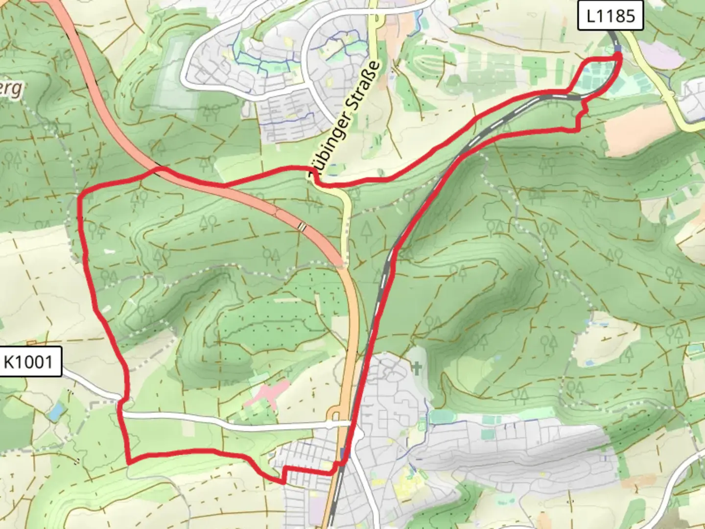
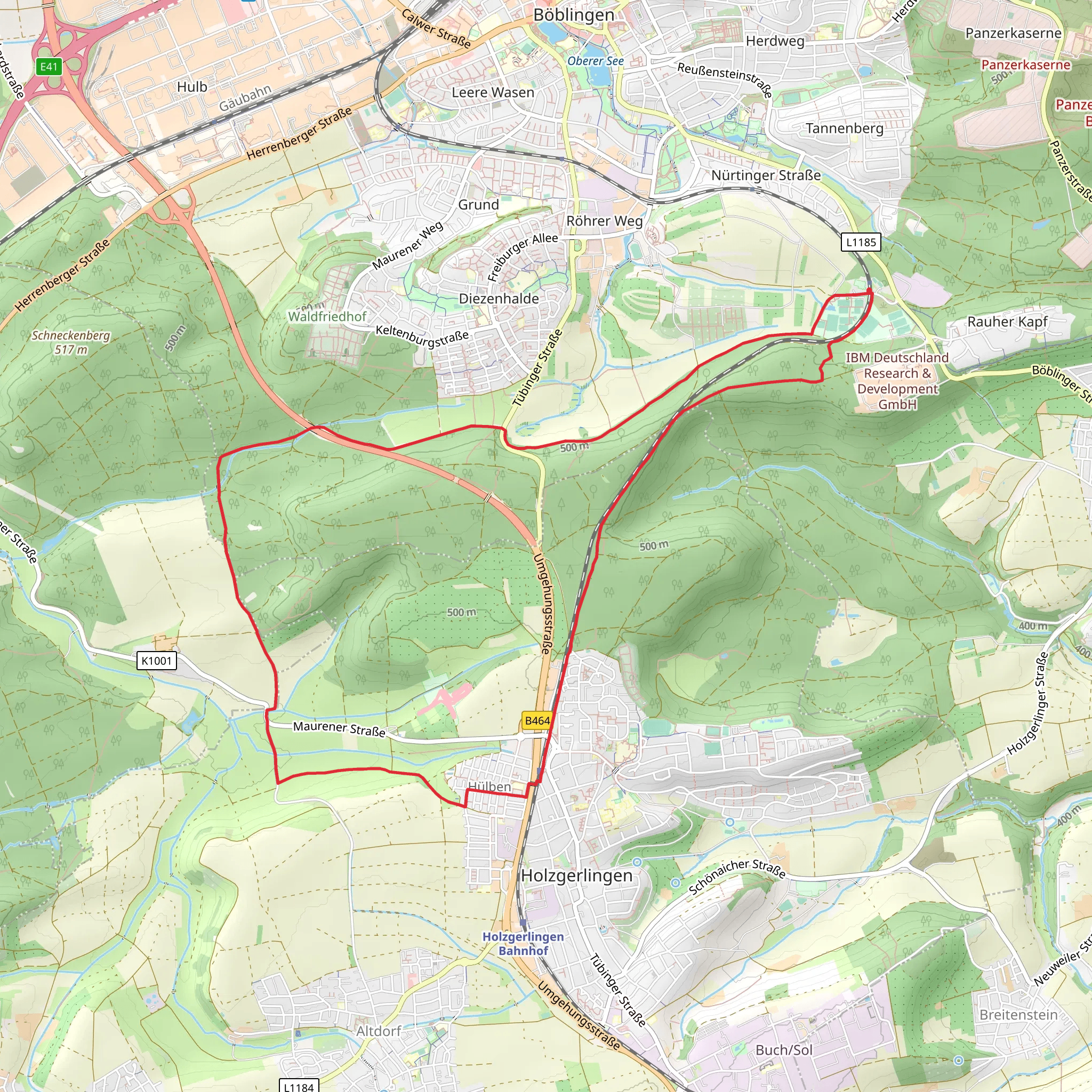
Nestled near the charming town of Böblingen, Germany, the Glembach via Blaues Hufeisen trail offers a delightful loop hike of approximately 12 kilometers (about 7.5 miles) with an elevation gain of around 100 meters (approximately 328 feet). This medium-difficulty trail is perfect for those looking to explore the serene landscapes of the region while enjoying a moderate challenge.### Getting ThereTo reach the trailhead, you can easily access Böblingen by public transport or car. If you're traveling by train, Böblingen is well-connected via the S-Bahn network from Stuttgart, making it a convenient starting point. From the Böblingen train station, local buses or a short taxi ride can take you to the trailhead. For those driving, Böblingen is accessible via the A81 motorway, with ample parking available near the trail's starting point.### Trail HighlightsAs you embark on the Glembach via Blaues Hufeisen loop, you'll be greeted by a diverse array of landscapes. The trail meanders through lush forests, open meadows, and alongside gentle streams, offering a peaceful escape into nature. The initial section of the trail is relatively flat, allowing you to ease into the hike while soaking in the tranquil surroundings.### Nature and WildlifeThe area is rich in biodiversity, with a variety of flora and fauna to observe. Keep an eye out for native bird species flitting through the trees and, if you're lucky, you might spot deer grazing in the meadows. The forested sections are particularly enchanting, with towering trees providing a canopy of shade and a sense of seclusion.### Historical SignificanceThe region around Böblingen is steeped in history, with remnants of its past visible along the trail. As you hike, you'll come across several historical markers and sites that offer a glimpse into the area's cultural heritage. The Blaues Hufeisen, or "Blue Horseshoe," is a notable landmark that has historical significance, serving as a reminder of the region's storied past.### Navigation and SafetyWhile the trail is well-marked, it's always wise to have a reliable navigation tool on hand. The HiiKER app is an excellent resource for ensuring you stay on track and can provide additional information about the trail. Given the moderate difficulty rating, it's advisable to wear sturdy hiking boots and bring plenty of water, especially during warmer months.### Final StretchAs you near the end of the loop, the trail gently descends back towards the starting point, offering panoramic views of the surrounding countryside. This section is particularly rewarding, providing a sense of accomplishment as you complete the circuit. Whether you're a seasoned hiker or a nature enthusiast, the Glembach via Blaues Hufeisen trail promises a memorable adventure through one of Germany's picturesque landscapes.
Comments and Reviews
User comments, reviews and discussions about the Glembach via Blaues Hufeisen, Germany.
4.0
average rating out of 5
2 rating(s)
