Download
Preview
Add to list
More
5.9 km
~1 hrs 17 min
63 m
Loop
“The Havelhöhenweg Loop near Berlin offers a scenic, moderate 6 km hike through lush forests and beside the serene Havel River.”
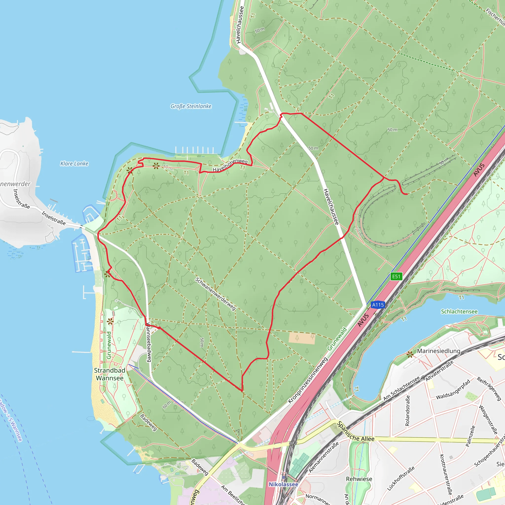
Starting near Berlin, Germany, the Havelhöhenweg Loop is a delightful 6 km (approximately 3.7 miles) trail that offers a moderate hiking experience with no significant elevation gain. This loop trail is perfect for those looking to enjoy a scenic walk without the challenge of steep climbs.
Getting There To reach the trailhead, you can either drive or use public transportation. If you're driving, you can park near the Pfaueninselchaussee, close to the Wannsee area. For those using public transport, take the S-Bahn to the Wannsee station. From there, you can catch a bus that will drop you off near the trailhead.
Trail Overview The trail begins near the Pfaueninselchaussee, a well-known road that leads to the famous Peacock Island (Pfaueninsel). As you start your hike, you'll find yourself immersed in a lush forest setting, with the Havel River accompanying you on your journey. The trail is well-marked and easy to follow, making it suitable for hikers of all skill levels.
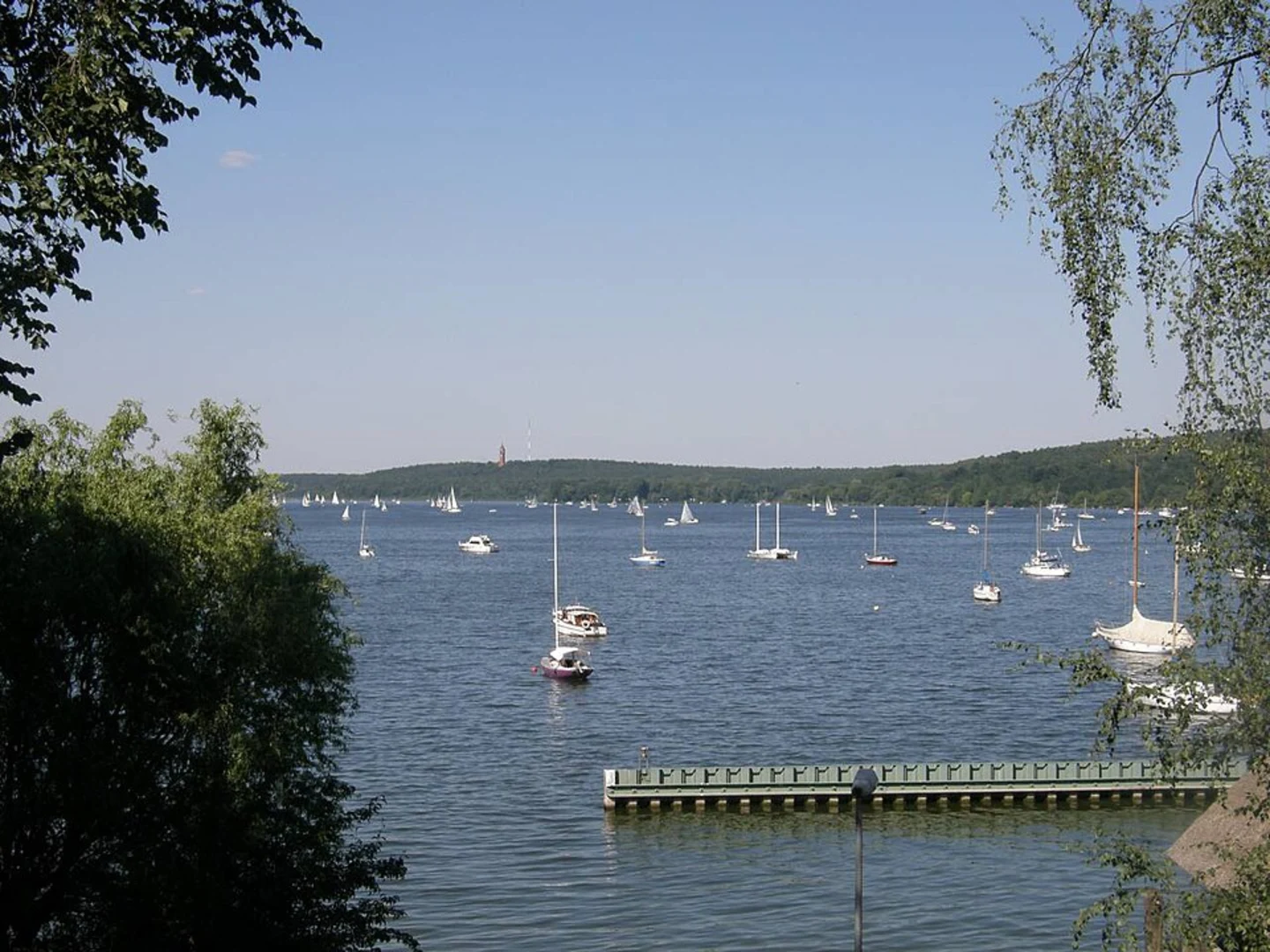
Points of Interest #### Havel River One of the most striking features of this trail is its proximity to the Havel River. The river provides a serene backdrop for much of your hike, and there are several spots where you can stop and enjoy the view. Keep an eye out for various waterfowl and other wildlife that frequent the riverbanks.
#### Grunewald Forest As you continue along the trail, you'll enter the Grunewald Forest, one of Berlin's largest green spaces. The forest is home to a variety of flora and fauna, including oak and pine trees, as well as deer and wild boar. The dense canopy provides ample shade, making it a pleasant walk even on warmer days.
Historical Significance The Havelhöhenweg Loop is steeped in history. The trail passes near several historical landmarks, including the Glienicke Bridge, also known as the "Bridge of Spies." This bridge was a significant site during the Cold War, where spy exchanges between the East and West took place. Although the trail doesn't cross the bridge, it's worth noting its proximity and historical importance.
Navigation For navigation, it's highly recommended to use the HiiKER app. The app provides detailed maps and real-time updates, ensuring you stay on the right path throughout your hike.
Wildlife and Nature The trail offers a rich tapestry of natural beauty. In addition to the Havel River and Grunewald Forest, you'll encounter various meadows and small clearings. These areas are perfect for a picnic or a short rest. Birdwatchers will particularly enjoy this trail, as it's home to numerous species, including woodpeckers, owls, and various songbirds.
Practical Tips - **Footwear:** Given the moderate difficulty, sturdy walking shoes are recommended. - **Weather:** Check the weather forecast before you go, as the trail can get muddy after rain. - **Supplies:** Bring water and snacks, as there are no facilities along the trail. - **Timing:** The trail takes about 2-3 hours to complete, depending on your pace and how often you stop to take in the scenery.
The Havelhöhenweg Loop offers a perfect blend of natural beauty, historical significance, and moderate physical activity, making it an ideal choice for a day hike near Berlin.
What to expect?
Activity types
Comments and Reviews
User comments, reviews and discussions about the Havelhöhenweg Loop, Germany.
4.33
average rating out of 5
3 rating(s)

