Download
Preview
Add to list
More
12.3 km
~4 hrs 6 min
994 m
Loop
“Embark on a 12 km loop through lush forests, alpine meadows, and historical landmarks with stunning summit views.”
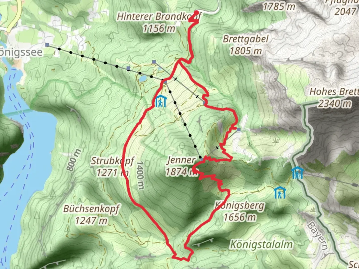
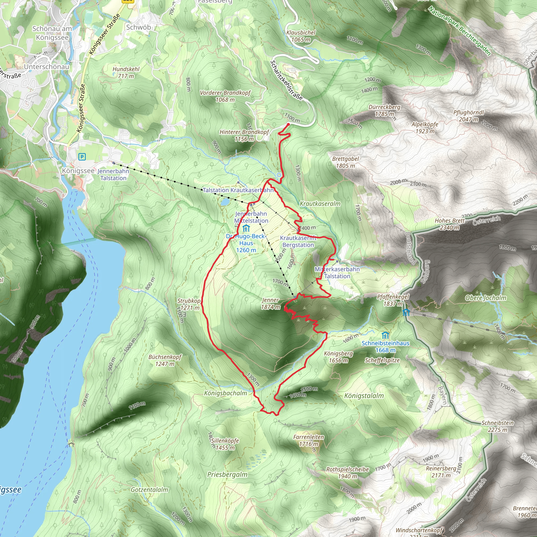
Starting near the picturesque Berchtesgadener Land in Germany, this 12 km (7.5 miles) loop trail offers an elevation gain of approximately 900 meters (2,950 feet), making it a moderately challenging hike. The trailhead is conveniently accessible by both public transport and car. If you're traveling by public transport, you can take a bus or train to the nearby town of Berchtesgaden, which is well-connected to major cities like Munich and Salzburg. From Berchtesgaden, local buses or taxis can take you to the trailhead. For those driving, there are parking facilities available near the starting point.
Trail Overview
The AV Weg and Arnoweg Loop takes you through a diverse landscape that includes lush forests, alpine meadows, and rugged mountain terrain. The trail is well-marked, but it's advisable to use a reliable navigation tool like HiiKER to ensure you stay on track.
Key Landmarks and Sections
#### Initial Ascent
The hike begins with a steady ascent through dense forest, where you'll be surrounded by towering trees and the sounds of local wildlife. This section is about 3 km (1.9 miles) long and gains around 300 meters (985 feet) in elevation. Keep an eye out for deer and various bird species that inhabit this area.
#### Alpine Meadows
As you continue, the forest opens up into beautiful alpine meadows. This section is relatively flat and offers a respite from the initial climb. The meadows are particularly stunning in late spring and early summer when wildflowers are in full bloom. This part of the trail stretches for about 2 km (1.2 miles).
#### Historical Significance
Around the 6 km (3.7 miles) mark, you'll come across remnants of historical significance. The Berchtesgadener Land region has a rich history, and you may encounter old stone structures and markers that date back to medieval times. These landmarks offer a glimpse into the area's past and are perfect spots for a brief rest and some photography.
#### Summit and Panoramic Views
The trail then ascends more steeply towards the summit, gaining another 400 meters (1,310 feet) in elevation over the next 3 km (1.9 miles). This is the most challenging part of the hike, but the effort is well worth it. Upon reaching the summit, you'll be rewarded with panoramic views of the surrounding mountains and valleys. On a clear day, you can see as far as the Austrian Alps.
#### Descent
The descent begins after the summit and takes you back through a different section of forest. This part of the trail is about 4 km (2.5 miles) long and can be steep in places, so watch your footing. The descent brings you back to the trailhead, completing the loop.
Flora and Fauna
The trail is home to a variety of flora and fauna. In addition to the wildflowers in the alpine meadows, you may also encounter edelweiss and gentian. Wildlife includes deer, marmots, and a variety of bird species such as the golden eagle and alpine chough.
Preparation and Safety
Given the elevation gain and varied terrain, it's important to be well-prepared. Wear sturdy hiking boots and bring layers, as the weather can change rapidly in the mountains. Carry enough water and snacks, and consider using trekking poles for added stability. Always check the weather forecast before setting out and let someone know your plans.
Using HiiKER for navigation will help you stay on track and provide real-time updates on your progress. This tool is particularly useful for identifying key landmarks and ensuring you follow the correct path.
This trail offers a rewarding experience for those willing to take on its challenges, providing a mix of natural beauty, historical intrigue, and physical exertion.
What to expect?
Activity types
Comments and Reviews
User comments, reviews and discussions about the AV Weg and Arnoweg Loop, Germany.
4.5
average rating out of 5
2 rating(s)
