Download
Preview
Add to list
More
13.9 km
~3 hrs 12 min
256 m
Point-to-Point
“Explore history and nature on Bavaria's scenic Römerleithen to Creußen trail, rich in landmarks.”
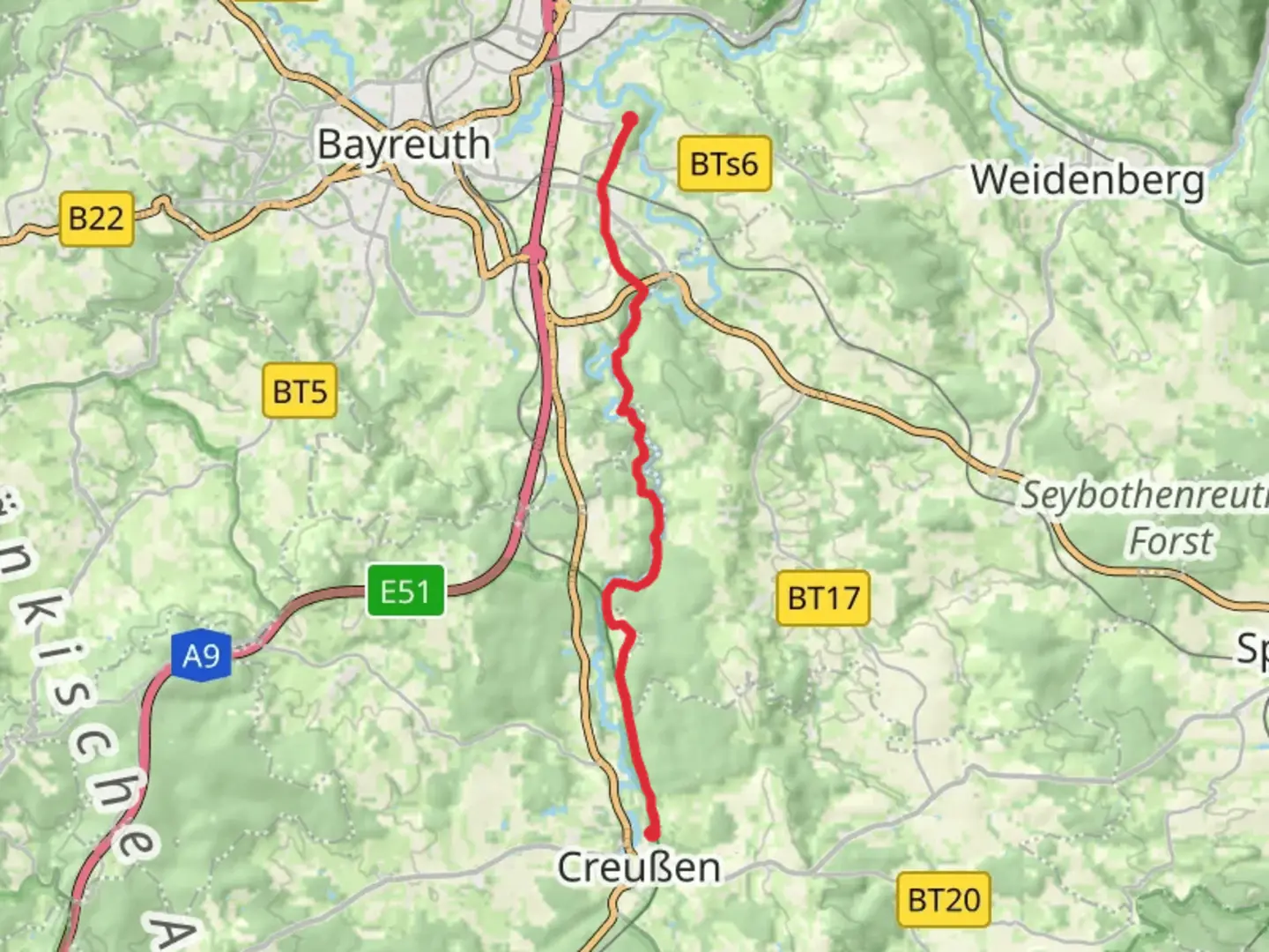
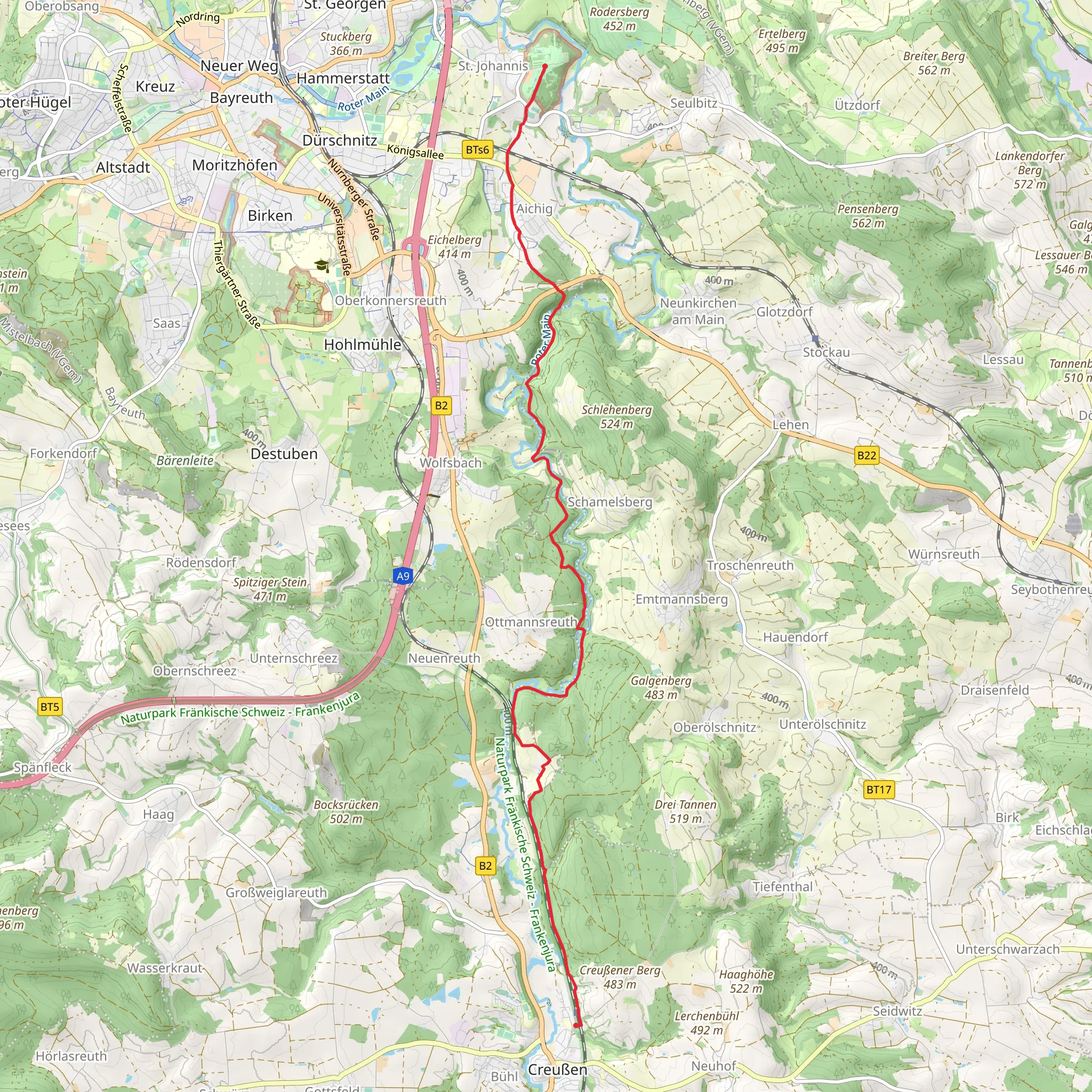
Nestled in the picturesque landscapes of Bavaria, the trail from Römerleithen to Creußen via Rotmainsteig offers a delightful journey through history and nature. This 14 km (approximately 8.7 miles) point-to-point trail begins near Bayreuth, Germany, and is estimated to have a medium difficulty rating, making it suitable for moderately experienced hikers.
Getting There
To reach the trailhead, you can drive or use public transport. If driving, head towards Bayreuth, where you can find parking options near the starting point. For those using public transport, Bayreuth is well-connected by train, and from there, local buses can take you closer to the trailhead. Check local schedules for the most convenient routes.
Trail Highlights
#### Historical Significance
The trail meanders through a region rich in history. The name "Römerleithen" hints at Roman influences, suggesting that this area may have been traversed by Roman legions centuries ago. As you hike, imagine the ancient paths that once connected settlements and facilitated trade across the region.
#### Natural Beauty
The trail offers a gentle elevation gain of around 200 meters (approximately 656 feet), providing a moderate challenge while rewarding hikers with stunning views of the Bavarian countryside. The landscape is a tapestry of lush forests, rolling hills, and serene meadows. Keep an eye out for native wildlife, including deer and a variety of bird species that inhabit the area.
#### Notable Landmarks
As you progress along the trail, you'll encounter several landmarks worth noting. The Rotmainsteig section is particularly scenic, with its winding paths and occasional clearings that offer panoramic views. Approximately halfway through the hike, you'll come across a charming wooden bridge that crosses a small stream, a perfect spot for a brief rest and photo opportunity.
Navigation and Safety
To ensure a smooth hiking experience, it's advisable to use the HiiKER app for navigation. The trail is generally well-marked, but having a reliable navigation tool can help you stay on track and explore any interesting detours with confidence. Always check the weather forecast before setting out, and pack essentials such as water, snacks, and a first-aid kit.
Arrival in Creußen
The trail concludes in the quaint town of Creußen, known for its traditional Bavarian architecture and friendly atmosphere. Take some time to explore the local cafes and shops, or simply relax and reflect on your journey through this enchanting part of Germany.
Comments and Reviews
User comments, reviews and discussions about the Römerleithen to Creußen via Rotmainsteig, Germany.
5.0
average rating out of 5
3 rating(s)
