Download
Preview
Add to list
More
8.8 km
~2 hrs 13 min
282 m
Loop
“The Obertrubach Lindenhardt and Trockau Rundwanderweg is a picturesque 9 km loop trail blending natural beauty and historical intrigue.”
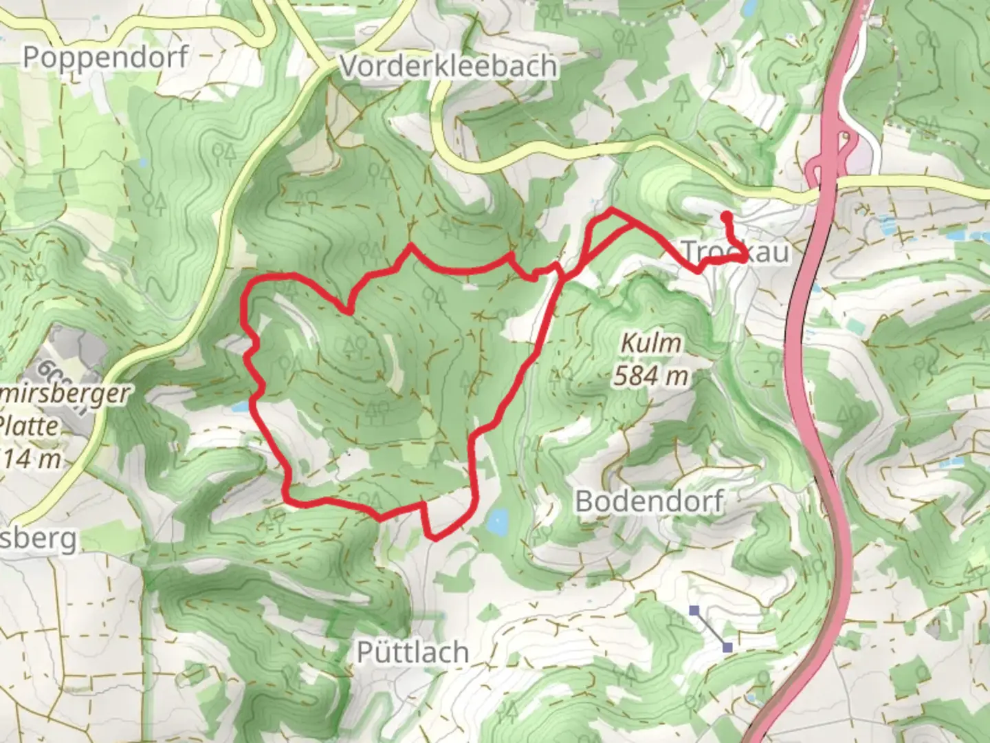
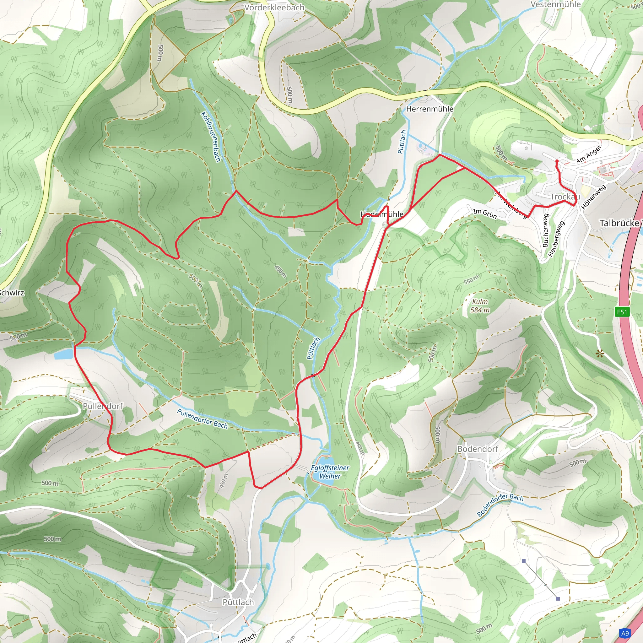
Starting near the picturesque town of Bayreuth, Germany, the Obertrubach Lindenhardt and Trockau Rundwanderweg is a delightful 9 km (5.6 miles) loop trail with an elevation gain of approximately 200 meters (656 feet). This medium-difficulty trail offers a blend of natural beauty, historical landmarks, and serene landscapes, making it a rewarding experience for hikers.### Getting There To reach the trailhead, you can either drive or use public transport. If driving, head towards Bayreuth and follow the signs to Obertrubach. There are parking facilities available near the trailhead. For those using public transport, take a train to Bayreuth Hauptbahnhof and then a local bus towards Obertrubach. The nearest significant landmark to the trailhead is the Obertrubach Church, a charming historical site that marks the beginning of your adventure.### Trail Navigation For navigation, it is highly recommended to use the HiiKER app, which provides detailed maps and real-time updates to ensure you stay on track. The trail is well-marked, but having a reliable navigation tool will enhance your hiking experience.### Trail Highlights#### Natural Beauty The trail meanders through lush forests, open meadows, and rocky outcrops, offering a diverse range of scenery. As you hike, you'll encounter a variety of flora and fauna. Keep an eye out for native wildlife such as deer, foxes, and a plethora of bird species. The forested sections are particularly enchanting, with tall trees providing a canopy of shade and the forest floor carpeted with ferns and wildflowers.#### Historical Landmarks One of the significant historical landmarks along the trail is the Lindenhardt Castle ruins, located approximately 3 km (1.9 miles) into the hike. These ruins offer a glimpse into the region's medieval past and provide a perfect spot for a short break. The castle's vantage point offers panoramic views of the surrounding countryside, making it a great photo opportunity.#### Elevation and Terrain The trail features a moderate elevation gain of around 200 meters (656 feet), with a few steep sections that require careful footing. The terrain varies from well-trodden paths to rocky segments, so sturdy hiking boots are recommended. The highest point of the trail offers stunning views of the Franconian Switzerland region, known for its unique rock formations and rolling hills.### Practical Information - Distance: 9 km (5.6 miles) - Elevation Gain: 200 meters (656 feet) - Difficulty: Medium - Trail Type: Loop### Wildlife and Flora The trail is a haven for nature enthusiasts. In spring and summer, the meadows are alive with colorful wildflowers, while the autumn months bring a spectacular display of foliage. Birdwatchers will enjoy spotting various species, including woodpeckers, owls, and songbirds. The forested areas are home to small mammals and, occasionally, larger animals like deer.### Safety and Preparation Given the moderate difficulty of the trail, it's essential to come prepared. Carry sufficient water, snacks, and a first-aid kit. Weather can change rapidly, so pack a rain jacket and dress in layers. Always inform someone of your hiking plans and estimated return time.The Obertrubach Lindenhardt and Trockau Rundwanderweg offers a perfect blend of natural beauty, historical intrigue, and moderate physical challenge. Whether you're a seasoned hiker or a nature lover looking for a day out, this trail promises a memorable experience.
What to expect?
Activity types
Comments and Reviews
User comments, reviews and discussions about the Obertrubach Lindenhardt and Trockau Rundwanderweg, Germany.
4.0
average rating out of 5
1 rating(s)
