Download
Preview
Add to list
More
13.9 km
~3 hrs 26 min
399 m
Loop
“The Glashütten Höhen Rundweg offers a scenic 14-kilometer hike with lush forests, historical landmarks, and diverse wildlife.”
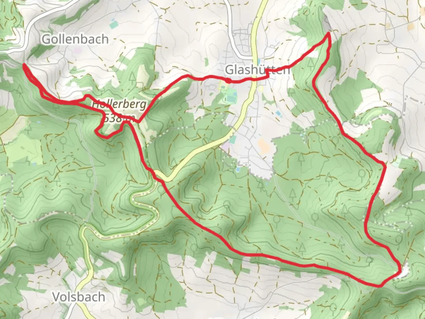
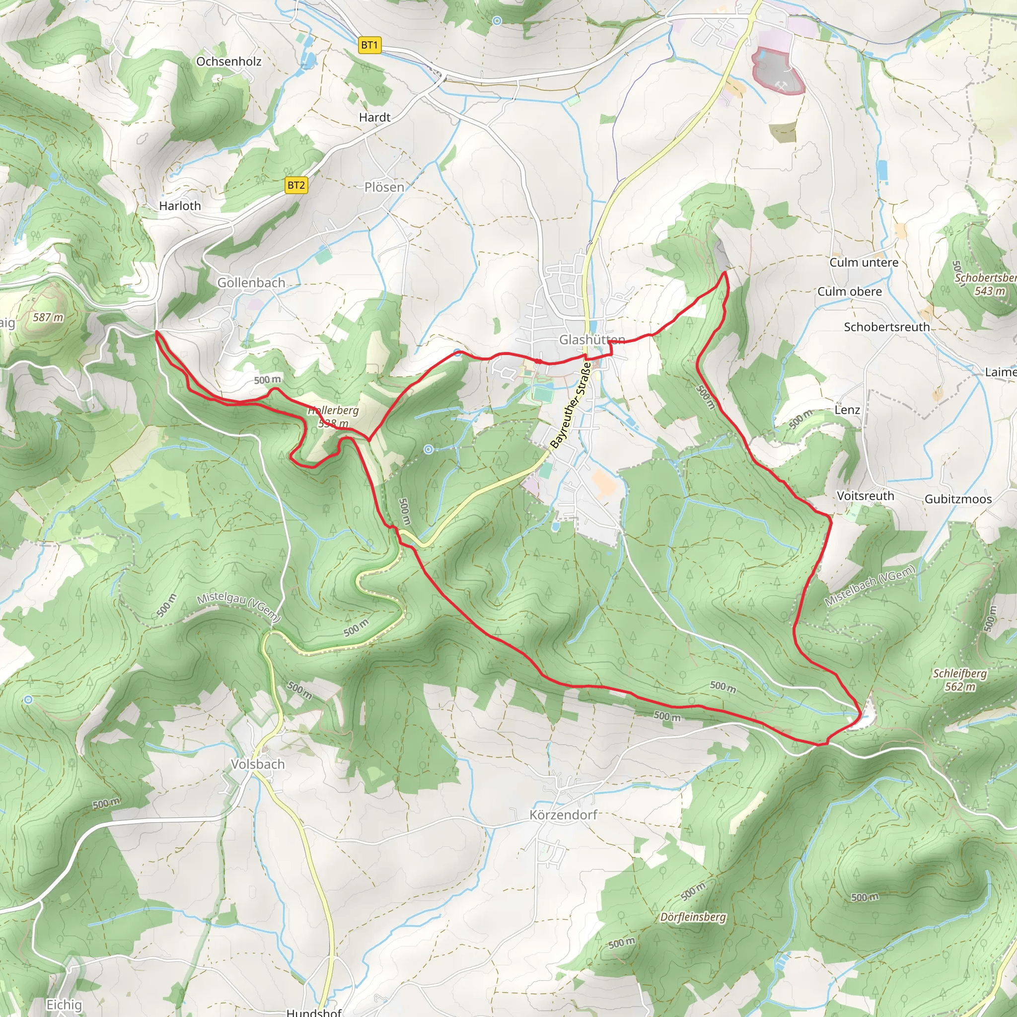
Starting near Bayreuth, Germany, the Glashütten Höhen Rundweg is a scenic loop trail that spans approximately 14 kilometers (8.7 miles) with an elevation gain of around 300 meters (984 feet). This medium-difficulty trail offers a blend of natural beauty, historical landmarks, and diverse wildlife, making it a rewarding experience for hikers.### Getting There To reach the trailhead, you can either drive or use public transport. If driving, head towards Bayreuth and follow signs to Glashütten. There is ample parking available near the trailhead. For those using public transport, take a train to Bayreuth Hauptbahnhof and then a local bus towards Glashütten. The nearest bus stop is conveniently located within walking distance of the trailhead.### Trail Overview The trail begins near the village of Glashütten, a quaint settlement known for its historical glass-making industry. As you start your hike, you'll be greeted by lush forests and rolling hills. The initial section is relatively flat, allowing you to ease into the hike.### Key Landmarks and Points of Interest - Glashütten Village: Approximately 1 kilometer (0.6 miles) into the hike, you'll pass through Glashütten. Take a moment to explore the village and perhaps visit a local café for a quick refreshment. - Forest Trails: Around the 3-kilometer (1.9 miles) mark, the trail enters a dense forest. This section is particularly beautiful in autumn when the leaves change color. Keep an eye out for local wildlife such as deer and various bird species. - Historical Sites: At about 5 kilometers (3.1 miles), you'll come across remnants of old glass-making furnaces, a nod to the area's industrial past. Informational plaques provide historical context, making this a great spot for a brief educational break. - Scenic Overlook: Roughly 7 kilometers (4.3 miles) into the hike, you'll reach a scenic overlook offering panoramic views of the surrounding countryside. This is an excellent spot for a picnic and some photography.### Elevation and Terrain The trail features a gradual ascent, with the most significant elevation gain occurring between the 8 and 10-kilometer (5 to 6.2 miles) marks. The terrain varies from well-maintained paths to more rugged sections, so sturdy hiking boots are recommended. The highest point of the trail offers stunning views and a sense of accomplishment.### Navigation To ensure you stay on track, it's advisable to use the HiiKER app, which provides detailed maps and real-time navigation. The trail is well-marked, but having a reliable navigation tool can enhance your hiking experience.### Flora and Fauna The Glashütten Höhen Rundweg is home to a variety of plant and animal species. In spring and summer, the trail is adorned with wildflowers, while the forested sections provide a habitat for deer, foxes, and numerous bird species. Birdwatchers will particularly enjoy the diversity of avian life.### Final Stretch As you approach the final 2 kilometers (1.2 miles), the trail descends gradually back towards Glashütten. This section is less strenuous, allowing you to cool down and reflect on the hike. The loop brings you back to the starting point, completing a rewarding and enriching journey.Whether you're a seasoned hiker or a nature enthusiast, the Glashütten Höhen Rundweg offers a perfect blend of natural beauty, historical intrigue, and physical challenge.
Comments and Reviews
User comments, reviews and discussions about the Glashuetten Hoehen Rundweg, Germany.
average rating out of 5
0 rating(s)
