Download
Preview
Add to list
More
15.0 km
~3 hrs 59 min
599 m
Loop
“Explore the enchanting Swabian Jura loop trail, rich in natural beauty, wildlife, and historical intrigue.”
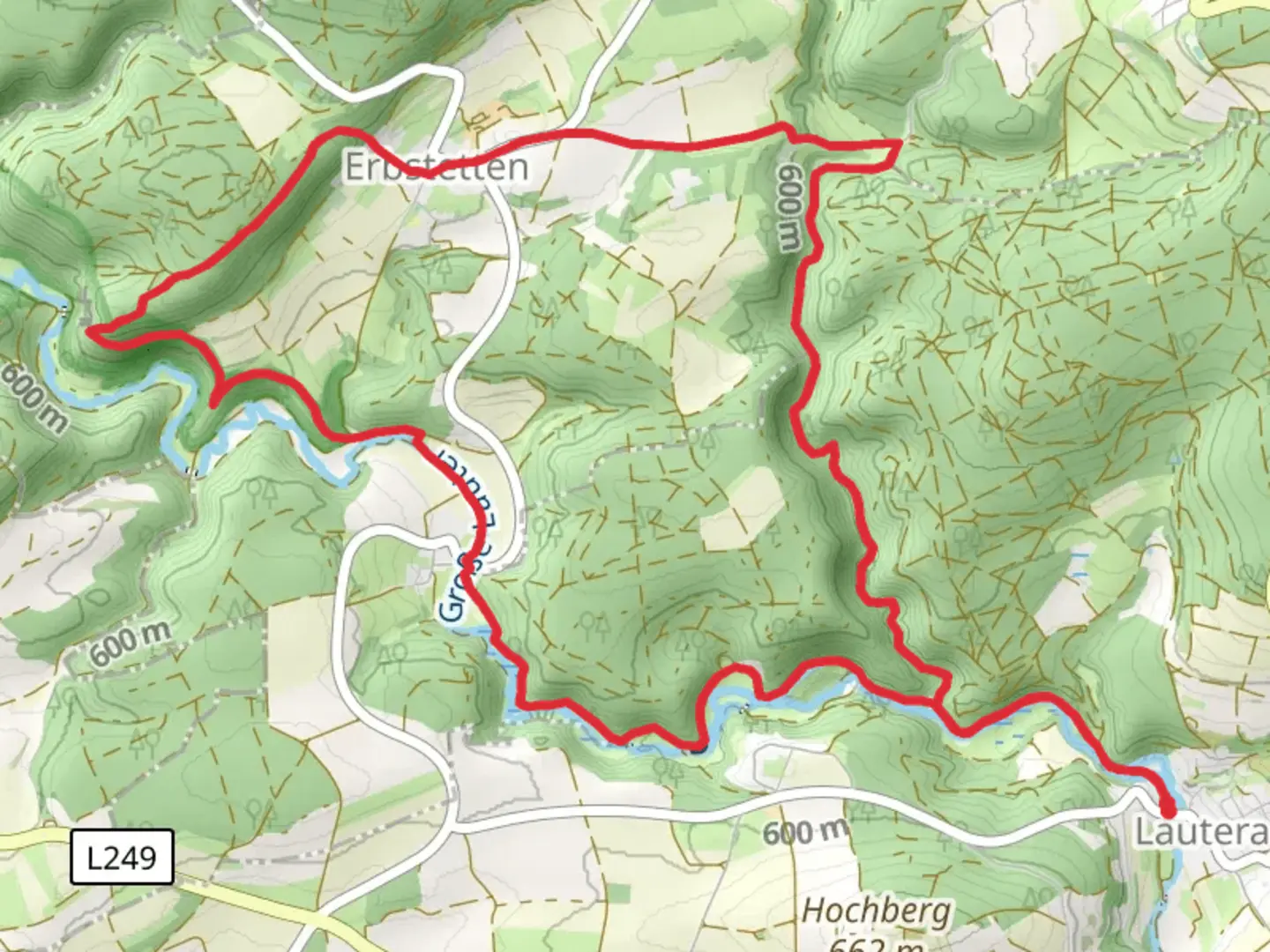
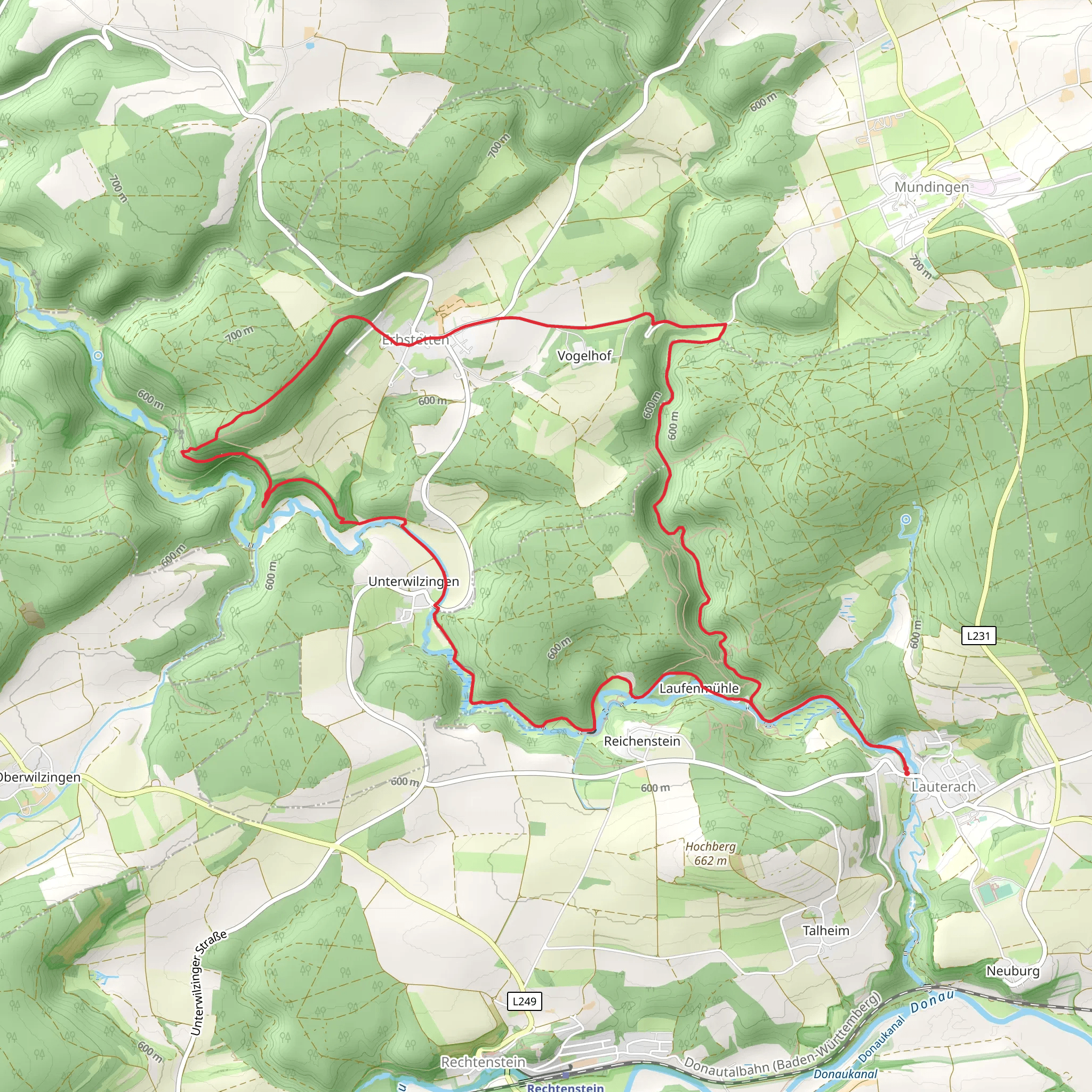
Nestled in the picturesque region of Alb-Donau-Kreis, Germany, this captivating loop trail offers hikers a journey through the enchanting landscapes of the Swabian Jura. Spanning approximately 15 kilometers (about 9.3 miles) with an elevation gain of around 600 meters (approximately 1,970 feet), this trail is rated as medium difficulty, making it suitable for moderately experienced hikers.
Getting There
The trailhead is conveniently located near the Alb-Donau-Kreis area. For those traveling by car, you can reach the starting point by heading towards the town of Blaubeuren, which is well-signposted from major roads. Parking is available near the trailhead. If you prefer public transport, Blaubeuren is accessible via train from Ulm, with regular services running throughout the day. From Blaubeuren, local buses or a short taxi ride can take you to the trailhead.
Trail Highlights
Scenic Landscapes and Natural Beauty
As you embark on this loop trail, you'll be greeted by the lush greenery and rolling hills characteristic of the Swabian Jura. The trail meanders through dense forests, open meadows, and rocky outcrops, offering a diverse range of scenery. Keep an eye out for the unique limestone formations that dot the landscape, a hallmark of this region's geological history.
Wildlife and Flora
The trail is home to a variety of wildlife, including deer, foxes, and numerous bird species. Birdwatchers will delight in spotting native species such as the European robin and the black woodpecker. The flora is equally impressive, with wildflowers blooming in vibrant colors during the spring and summer months. Be sure to bring a camera to capture the natural beauty along the way.
Historical Significance
The Swabian Jura is steeped in history, and this trail offers glimpses into the past. As you hike, you'll encounter remnants of ancient settlements and fortifications. The region is known for its prehistoric caves, some of which have yielded significant archaeological finds, including ancient tools and artifacts. These sites provide a fascinating insight into the lives of early human inhabitants.
Navigation and Safety
To ensure a smooth hiking experience, it's advisable to use the HiiKER app for navigation. The trail is well-marked, but having a reliable navigation tool will help you stay on track and explore any detours or points of interest along the way. The terrain can be uneven and rocky in places, so sturdy hiking boots are recommended. Additionally, pack sufficient water and snacks, as there are limited facilities along the trail.
Points of Interest
Burgfelsen
One of the trail's highlights is the Burgfelsen, a striking rock formation that offers panoramic views of the surrounding landscape. This vantage point is perfect for a rest stop and a chance to soak in the breathtaking vistas.
Schwäbische Alb Biosphere Reserve
Part of the trail runs through the Schwäbische Alb Biosphere Reserve, a protected area known for its rich biodiversity and cultural heritage. This section of the trail provides an opportunity to learn about the conservation efforts in place to preserve this unique ecosystem.
Embarking on this trail promises a rewarding adventure through one of Germany's most scenic and historically rich regions. Whether you're drawn by the natural beauty, the wildlife, or the historical intrigue, this hike offers something for every outdoor enthusiast.
Comments and Reviews
User comments, reviews and discussions about the Burgfelsenpfad and Schwaebische Alb Oberschwaben Weg, Germany.
4.0
average rating out of 5
1 rating(s)
