Download
Preview
Add to list
More
9.0 km
~2 hrs 9 min
223 m
Loop
“Explore diverse landscapes and historical sites on Georgia's moderate 9 km Creek Trail and Cherokee Loop Trail.”
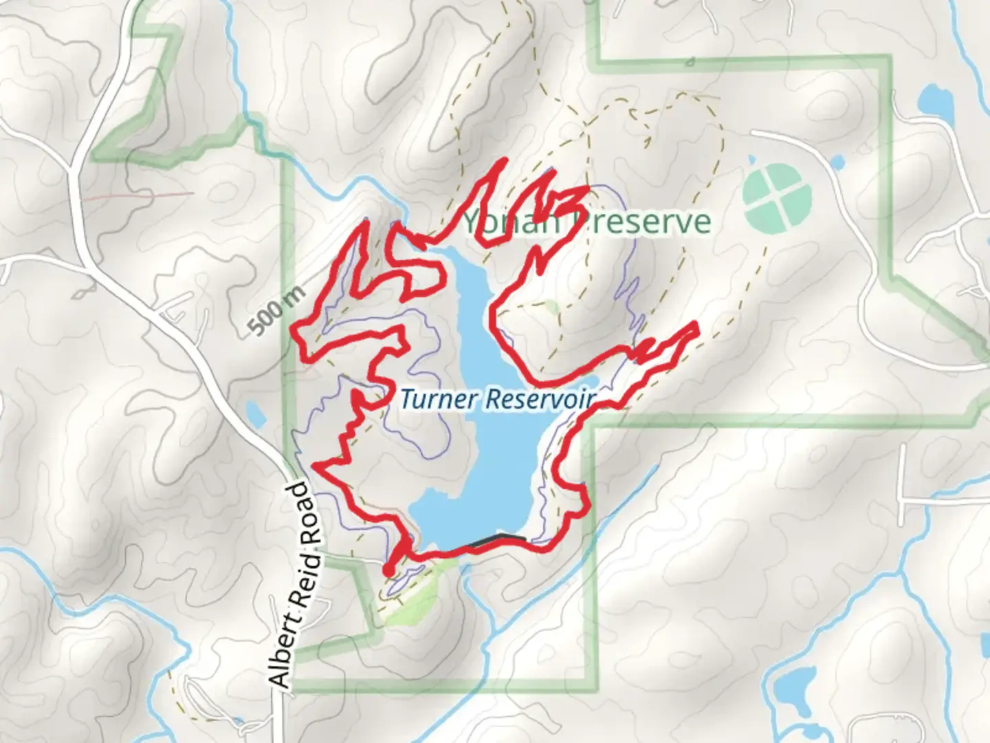
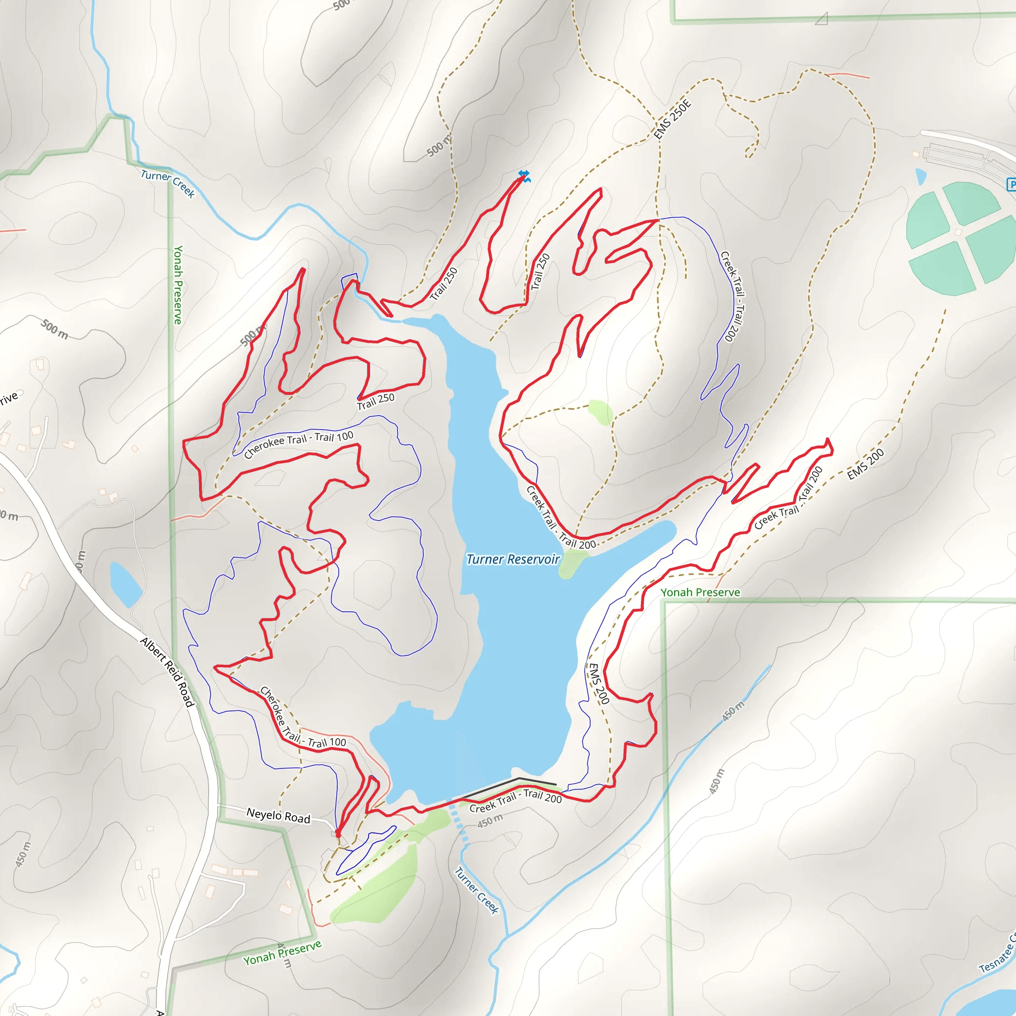
Starting your adventure near White County, Georgia, the Creek Trail and Cherokee Loop Trail offer a captivating 9 km (5.6 miles) journey through diverse landscapes with an elevation gain of approximately 200 meters (656 feet). This loop trail is rated as medium difficulty, making it accessible for most hikers with a moderate level of fitness.
Getting There To reach the trailhead, you can drive or use public transport. If driving, head towards the nearest significant landmark, Unicoi State Park, located at 1788 GA-356, Helen, GA 30545. From there, follow local signage to the trailhead. For those using public transport, the nearest bus stop is in Helen, Georgia, from where you can take a taxi or rideshare service to the trailhead.
Trail Overview The trail begins with a gentle ascent through a mixed hardwood forest, where you'll encounter a variety of native flora such as oak, hickory, and dogwood trees. Early in the hike, around the 1 km (0.6 miles) mark, you'll cross a picturesque creek, which is especially beautiful after recent rainfall. This section is relatively flat, making it a good warm-up for the more challenging parts ahead.
Significant Landmarks and Nature As you continue, the trail starts to climb more steeply. At approximately 3 km (1.9 miles), you'll reach a scenic overlook that offers panoramic views of the surrounding Appalachian Mountains. This is a great spot to take a break and enjoy the natural beauty of the area. Keep an eye out for local wildlife, including white-tailed deer, wild turkeys, and various bird species.
Historical Significance The region holds historical significance as it was once inhabited by the Cherokee people. Along the trail, you may notice interpretive signs that provide insights into the history and culture of the Cherokee Nation. These signs are located at key points, such as the 4 km (2.5 miles) mark, where an ancient Cherokee hunting ground is believed to have been situated.
Navigation and Safety Navigating the Creek Trail and Cherokee Loop Trail is straightforward, but it's always wise to have a reliable navigation tool. The HiiKER app is highly recommended for this purpose, as it provides detailed maps and real-time updates. The trail is well-marked, but having a digital backup ensures you stay on track.
Final Stretch The final stretch of the trail descends gradually back towards the trailhead. Around the 7 km (4.3 miles) mark, you'll pass through a serene meadow, which is a great spot for a picnic or a rest. The last 2 km (1.2 miles) are relatively easy, allowing you to cool down as you make your way back to the starting point.
This trail offers a well-rounded hiking experience with its mix of natural beauty, moderate challenges, and historical context. Whether you're a seasoned hiker or a nature enthusiast, the Creek Trail and Cherokee Loop Trail provide a rewarding adventure in the heart of Georgia.
What to expect?
Activity types
Comments and Reviews
User comments, reviews and discussions about the Creek Trail and Cherokee Loop Trail, Georgia.
4.55
average rating out of 5
38 rating(s)
