Download
Preview
Add to list
More
6.7 km
~1 hrs 39 min
199 m
Out and Back
“Explore the scenic and historically rich Atwood Trail, a 7 km hike with moderate challenges and stunning views.”
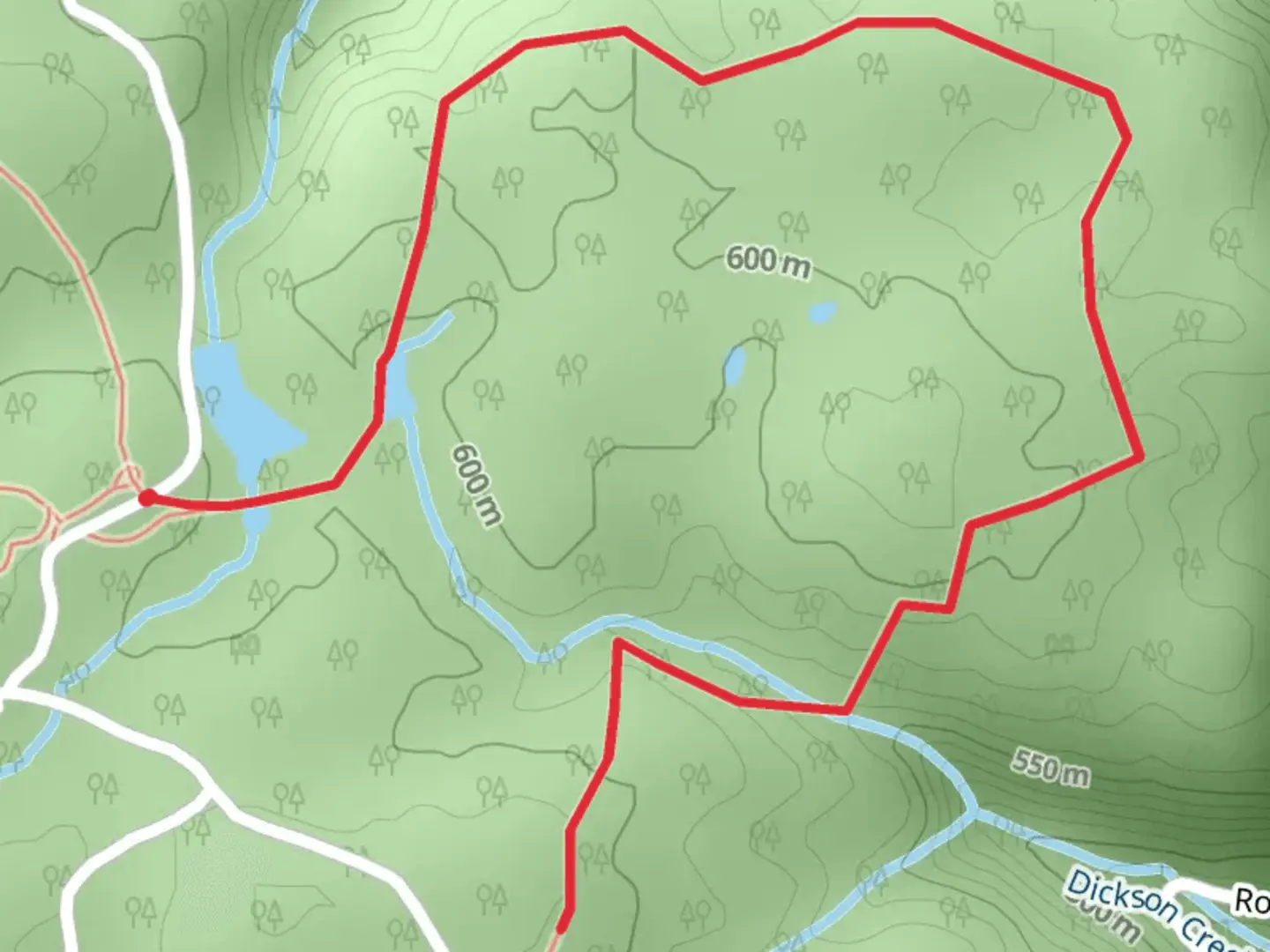
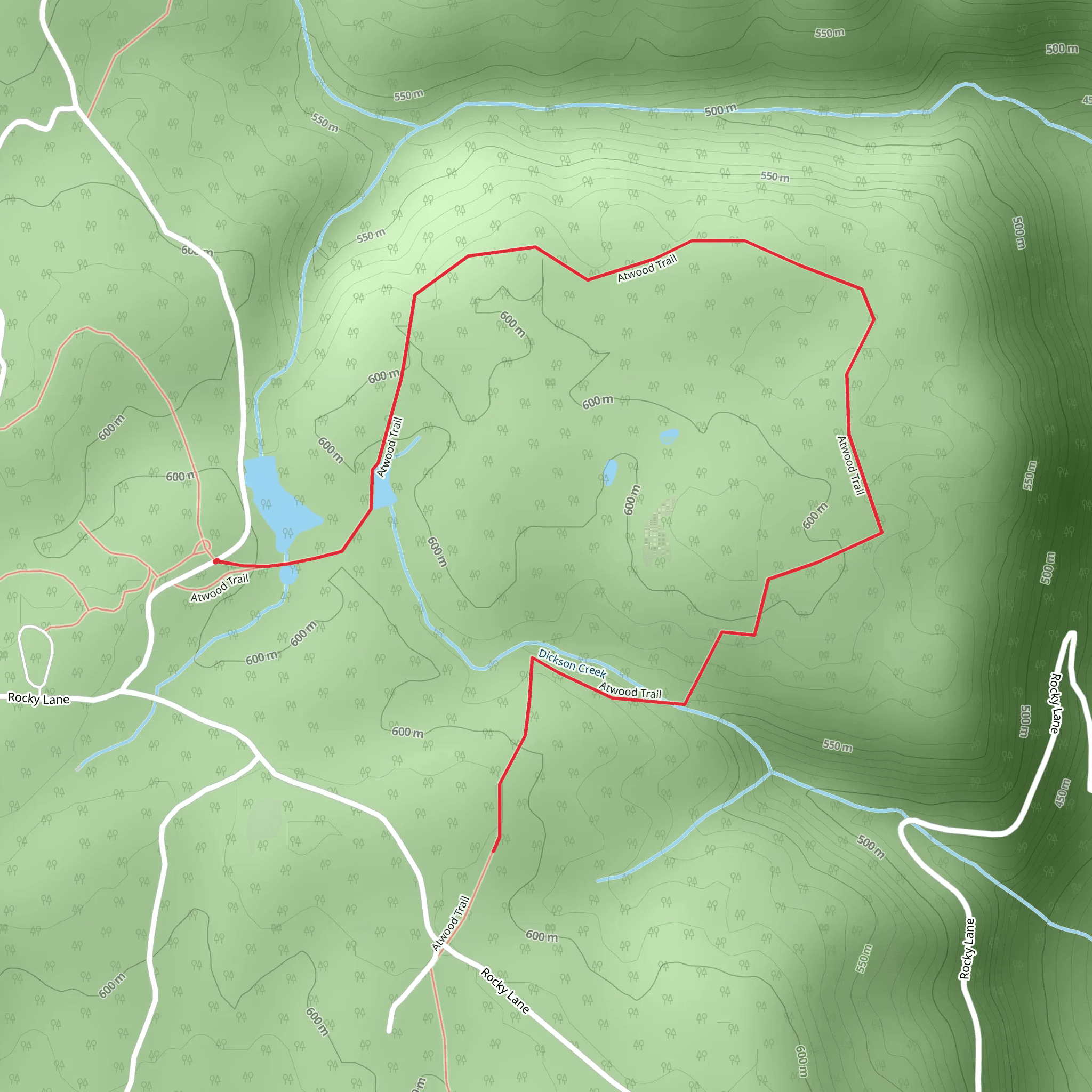
Starting near Walker County, Georgia, the Atwood Trail offers a delightful 7 km (approximately 4.3 miles) out-and-back hike with an elevation gain of around 100 meters (328 feet). This trail is rated as medium difficulty, making it suitable for moderately experienced hikers.
Getting There To reach the trailhead, you can drive or use public transportation. If driving, head towards Walker County, Georgia, and look for parking near the intersection of Highway 193 and Dougherty Gap Road. For those using public transport, the nearest significant landmark is the town of LaFayette, Georgia. From LaFayette, you can take a local taxi or rideshare service to the trailhead.
Trail Overview The Atwood Trail begins with a gentle ascent through a mixed hardwood forest. The initial 1 km (0.6 miles) is relatively easy, with a gradual elevation gain of about 20 meters (65 feet). This section is perfect for warming up and getting accustomed to the terrain.
Flora and Fauna As you progress, the trail becomes more challenging, with steeper inclines and rocky sections. Around the 2 km (1.2 miles) mark, you'll encounter a diverse range of flora, including oak, hickory, and pine trees. Keep an eye out for local wildlife such as white-tailed deer, wild turkeys, and various bird species. The area is also known for its vibrant wildflowers in the spring and summer months.
Significant Landmarks At approximately 3 km (1.9 miles), you'll reach a scenic overlook offering panoramic views of the surrounding valleys and ridges. This is a great spot to take a break and enjoy the natural beauty. The elevation gain to this point is around 60 meters (197 feet).
Historical Significance The region around Walker County has a rich history, particularly related to the Civil War. The nearby Chickamauga and Chattanooga National Military Park is a testament to the area's historical significance. While the Atwood Trail itself doesn't pass through any specific historical sites, the surrounding region is steeped in history, making it a fascinating area to explore.
Navigation and Safety The trail is well-marked, but it's always a good idea to have a reliable navigation tool. HiiKER is an excellent app for this purpose, providing detailed maps and real-time tracking to ensure you stay on course.
Final Stretch The final 1 km (0.6 miles) of the trail involves a descent back to the trailhead, retracing your steps through the beautiful forest. The total elevation gain for the entire hike is around 100 meters (328 feet), making it a manageable yet rewarding experience.
Preparation Tips Given the medium difficulty rating, it's advisable to wear sturdy hiking boots and bring plenty of water, especially during the warmer months. A small first-aid kit and some snacks are also recommended. The trail can be muddy after rain, so check the weather forecast and trail conditions before heading out.
Enjoy your hike on the Atwood Trail, and take the time to appreciate the natural beauty and historical context of this wonderful region.
What to expect?
Activity types
Comments and Reviews
User comments, reviews and discussions about the Atwood Trail, Georgia.
4.42
average rating out of 5
19 rating(s)
