Download
Preview
Add to list
More
164.8 km
~11 days
6055 m
Multi-Day
“Embark on the Bartram Trail's captivating 102-mile odyssey through the Southeast's majestic peaks and diverse ecosystems.”
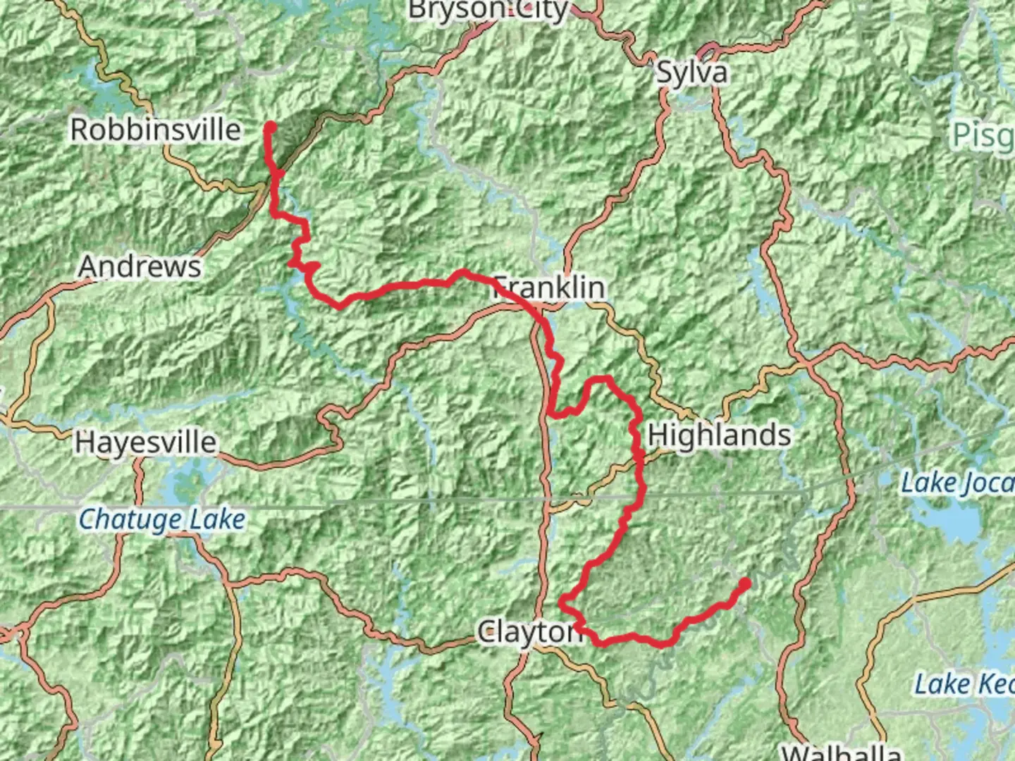
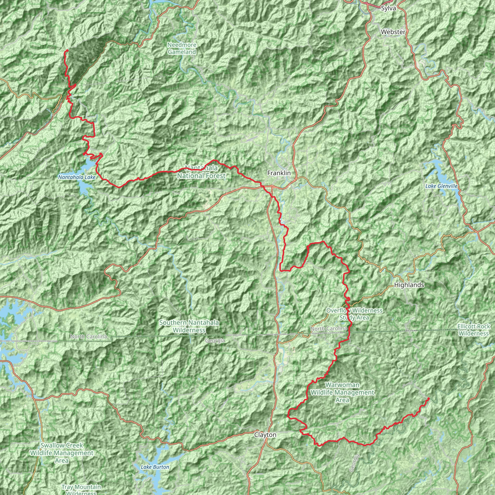
The Bartram Trail offers an immersive journey through the scenic landscapes of the American Southeast, stretching approximately 165 kilometers (around 102 miles) with an elevation gain of around 6000 meters (nearly 20,000 feet). This point-to-point trail begins near Rabun County, Georgia, and is considered difficult due to its length and elevation changes.
Getting to the Trailhead To reach the starting point of the Bartram Trail, hikers can drive to the trailhead located near the Chattooga River, close to the intersection of Highway 28 and Warwoman Road, Clayton, Georgia. For those relying on public transport, options are limited, and it's advisable to check local services for the nearest drop-off points to the trailhead or consider taxi services from the nearest towns.
Navigating the Trail Hikers can utilize the HiiKER app for detailed maps and navigation assistance throughout their trek. The trail is well-marked with yellow blazes, ensuring a clear path is followed.
Trail Highlights and Landmarks The trail is named after William Bartram, an 18th-century naturalist, whose explorations of the region are well-documented. As hikers embark on the trail, they will encounter a variety of landscapes, including dense forests, rolling hills, and mountainous terrain.
The first major ascent leads to the summit of Rabun Bald, the second-highest peak in Georgia, offering panoramic views at around 15 kilometers (9 miles) into the hike. The trail continues through the Nantahala National Forest, with a steady climb up to Cheoah Bald, providing another vantage point at approximately 81 kilometers (50 miles) in.
Flora and Fauna The Bartram Trail traverses diverse ecosystems, home to a rich array of flora and fauna. Hikers can expect to see a variety of hardwoods, rhododendron, and mountain laurel, especially vibrant during the spring bloom. Wildlife sightings may include deer, black bears, and a multitude of bird species, making it a haven for nature enthusiasts.
Historical Significance The trail's historical significance is tied to William Bartram's exploration of the area in the 1770s. His documented observations of the region's natural history have made a lasting impact on the understanding of Southeastern ecology.
Preparation and Planning Given the trail's difficulty, hikers should be well-prepared with adequate supplies, including water, food, and appropriate gear for varying weather conditions. It's also recommended to plan for overnight camping, as completing the trail will take several days.
Seasonal Considerations The best times to hike the Bartram Trail are during the spring and fall when temperatures are moderate, and the foliage is either blooming or showcasing autumn colors. Summer hikes are possible but can be hot and humid, while winter conditions can be unpredictable with potential for snow and ice.
Safety and Etiquette As with any backcountry experience, hikers should practice Leave No Trace principles to minimize their impact on the environment. It's also important to be bear-aware, properly storing food and disposing of waste to avoid attracting wildlife to campsites.
End of the Trail The Bartram Trail concludes in North Carolina, at Cheoah Bald, offering a sense of accomplishment and breathtaking views as a reward for those who complete this challenging and enriching hike.
Comments and Reviews
User comments, reviews and discussions about the Bartram Trail, Georgia.
4.71
average rating out of 5
17 rating(s)
