Download
Preview
Add to list
More
9.8 km
~2 hrs 14 min
162 m
Loop
“Discover the Parachute, Bluff Toe, and River Loop Trail's scenic beauty and historical intrigue on this 10 km adventure.”
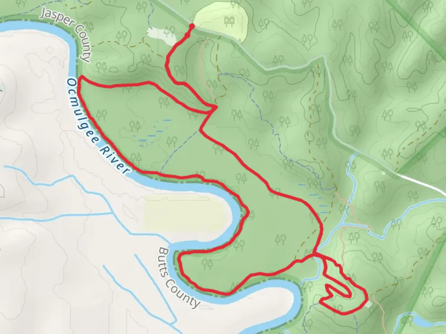
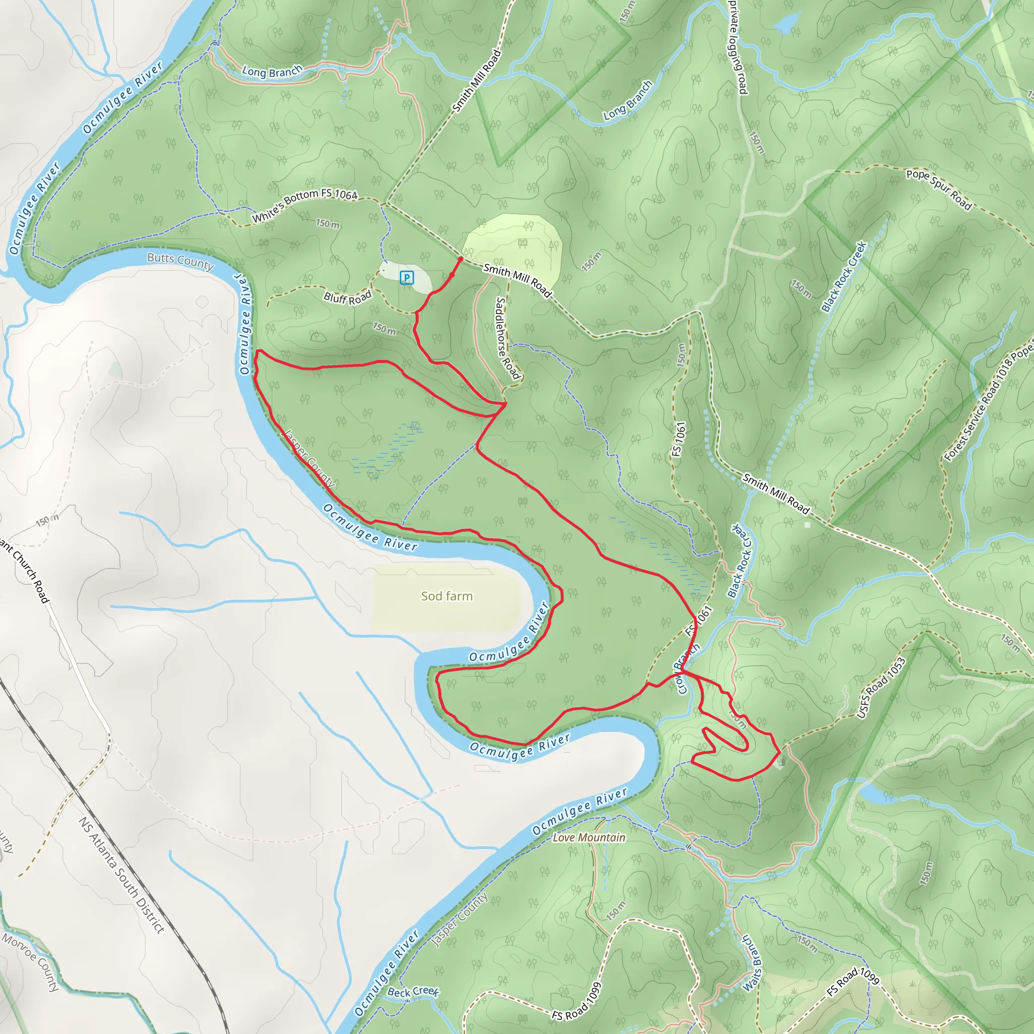
Starting near Jasper County, Georgia, the Parachute, Bluff Toe, and River Loop Trail offers a scenic 10 km (6.2 miles) loop with an elevation gain of approximately 100 meters (328 feet). This medium-difficulty trail is perfect for those looking to immerse themselves in the natural beauty and historical richness of the region.
Getting There To reach the trailhead, you can drive or use public transportation. If driving, head towards Jasper County, Georgia, and look for the nearest significant landmark, the Monticello Crossroads Scenic Byway. From there, follow local signage to the trailhead. For those using public transport, the nearest bus stop is in Monticello, from where you can take a taxi or rideshare service to the trailhead.
Trail Overview The trail begins with a gentle ascent through a mixed hardwood forest, where you can expect to see a variety of native trees such as oak, hickory, and pine. The first 2 km (1.2 miles) of the trail are relatively easy, with a gradual elevation gain of about 30 meters (98 feet). Keep an eye out for deer and wild turkeys, which are commonly spotted in this area.
Parachute Section As you continue, you'll reach the Parachute section of the trail around the 3 km (1.9 miles) mark. This part of the trail is named for its unique, parachute-shaped rock formations. The terrain becomes slightly more challenging here, with a steeper incline that adds another 40 meters (131 feet) to your elevation gain. The rock formations offer excellent photo opportunities and a chance to rest before continuing.
Bluff Toe Section Around the 5 km (3.1 miles) point, you'll enter the Bluff Toe section. This area is characterized by its dramatic bluffs and overlooks, providing stunning views of the surrounding landscape. The trail here is narrow and rocky, so watch your footing. The elevation gain in this section is about 20 meters (66 feet), bringing you to the highest point of the trail.
River Loop Section The final section of the trail, the River Loop, begins around the 7 km (4.3 miles) mark. This part of the trail descends gradually towards the river, offering a peaceful and serene environment. The riverbanks are lined with lush vegetation, including ferns and wildflowers, making it a great spot for birdwatching. The last 3 km (1.9 miles) of the trail are relatively flat, making for an easy and enjoyable finish.
Historical Significance The region around Jasper County has a rich history, dating back to the early 19th century. The Monticello Crossroads Scenic Byway, near the trailhead, was a significant route during the Civil War. As you hike, you'll come across several historical markers and remnants of old homesteads, providing a glimpse into the area's past.
Navigation and Safety For navigation, it's recommended to use the HiiKER app, which provides detailed maps and real-time updates. The trail is well-marked, but having a reliable navigation tool will ensure you stay on track. Be sure to carry enough water, wear sturdy hiking boots, and check the weather forecast before heading out.
This trail offers a perfect blend of natural beauty, moderate challenge, and historical intrigue, making it a must-visit for any hiking enthusiast.
What to expect?
Activity types
Comments and Reviews
User comments, reviews and discussions about the Parachute, Bluff Toe and River Loop Trail, Georgia.
4.65
average rating out of 5
23 rating(s)
